Distance: 20km
Elevation: +500m
Time: 7:00
Total Distance: 619km
Music: Heilung – Anoana
I looked back and saw, in my time of greatest hardship, only one set of footprints in the sand. I asked the Lord, why?
The Lord replied: The sand people walk in single file to conceal their number.
The wind dies away through the night, just as the forecast said it would. I’ve used The Garmin InReach forecast function in Ettrema Gorge, New Zealand’s South Island, and the Australian alps. In all cases I would have been better served with a dried fish on a string. But here in Tasmania, just as Garry said, it’s been accurate enough to set your watch to (with the exception that large rainfall predicted a week out tends to fizzle down as it gets closer).
I feel a bit proud that the tarp I made for this trip, the one with the rock-hole I hastily patched in Hobart, has weathered the powerful gusts of wind last night without ripping or failing at one of the tie-out points. I’m glad I chose not to chicken out back to Melaleuca. I need more experience of adverse weather so I know better what I can handle in future.
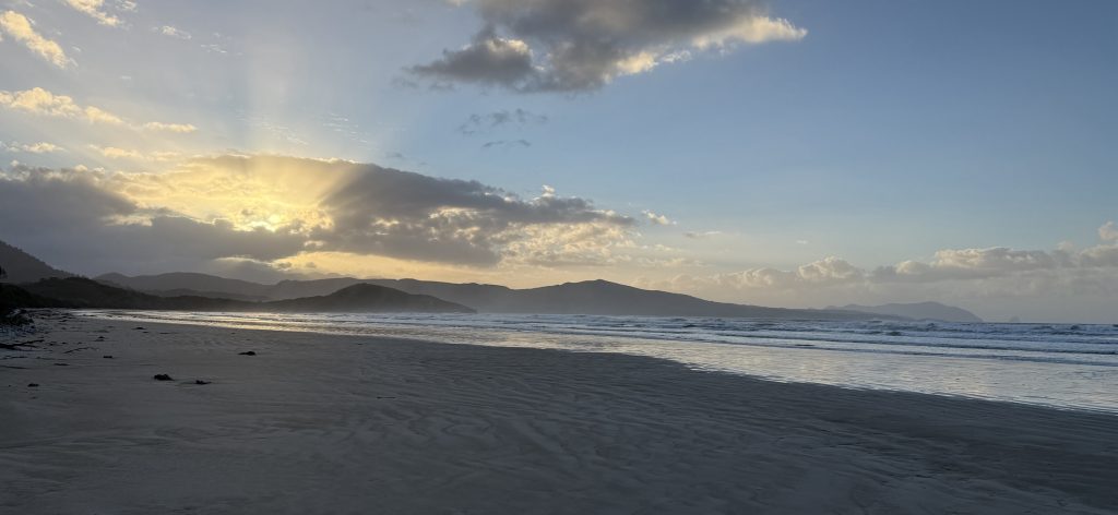
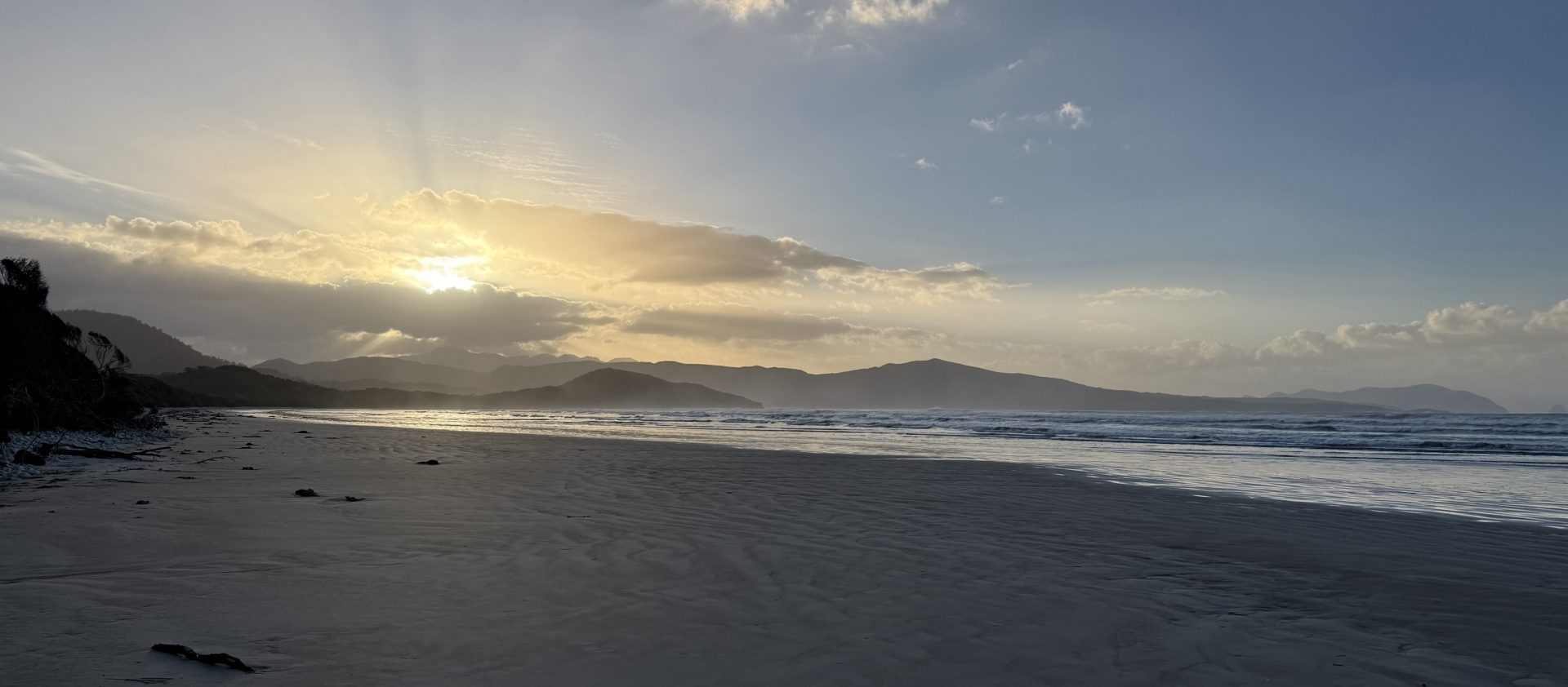
I wander down to the beach to get a photo of the sunrise, and am surprised to see somebody else down there. Peter and Keith are from Hobart, and came in from the east along the track yesterday after I’d already settled in. I sit and chat with them while they have their tea. Keith volunteers in Melaleuca sometimes, and is meeting his wife there to go camping up on Bathurst Harbour. We talk about trail conditions, distances and times, and Peter reckons Chapman must be nine feet tall. He mentions meeting Ed and Hannah, and their intentions to go up Precipitous Bluff and out along the range, and gives me a skeptical look. I wonder how they got on with yesterday’s wind, and whether they made it up. I tell them about my trip, and they both express that I’ve done extremely well to get this far; that many would not have managed it. From a couple of Tassie locals, that’s extremely heartening to hear. Peter and Keith highly recommend a diversion to Louisa Bay. I’d been half considering it for tonight’s camp, but that clinches it.

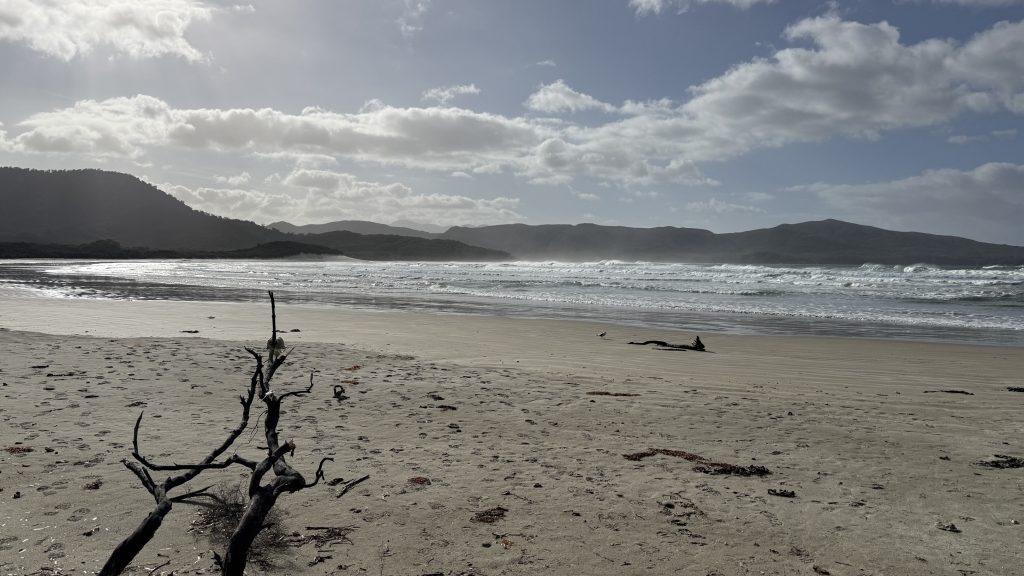
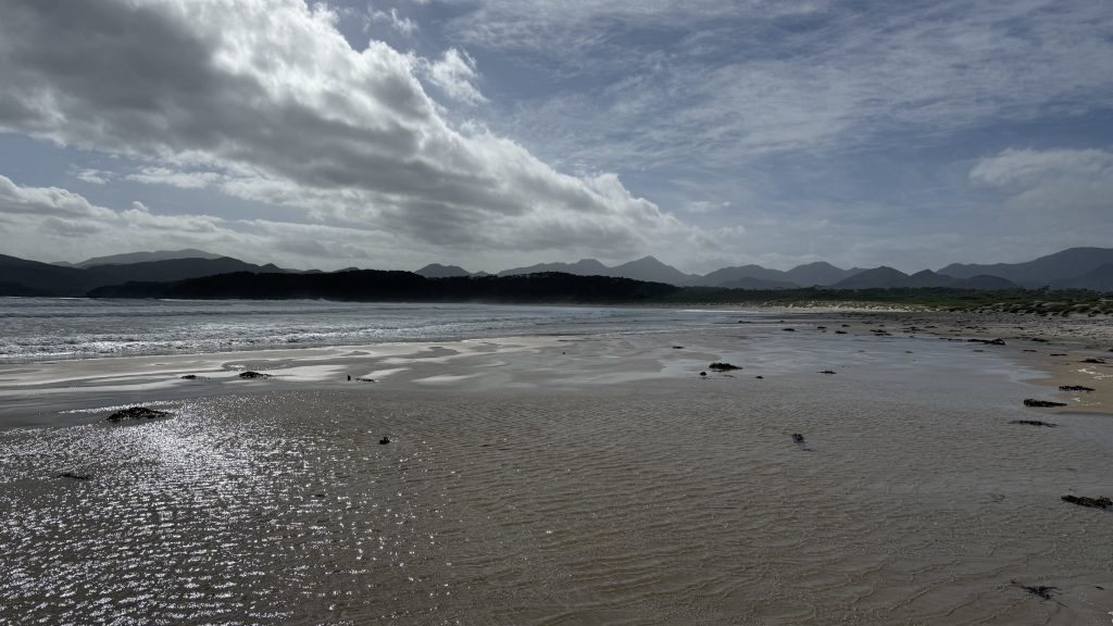
Walking along the broad flat beach in the morning sun feels fantastic. It’s hard to reconcile with yesterday’s weather. Tassie may have some wild weather, but it changes so quickly all you have to do is wait.
Point Eric is a gorgeous campsite, and seems somewhat sheltered. In fine weather I’d recommend it.
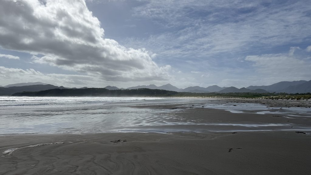
I skirt the incoming tide around the headland approaching Buoy Ck, playing a game played by children on beaches since time immemorial; timing the waves then scooting from high spot to high spot until I’m across.
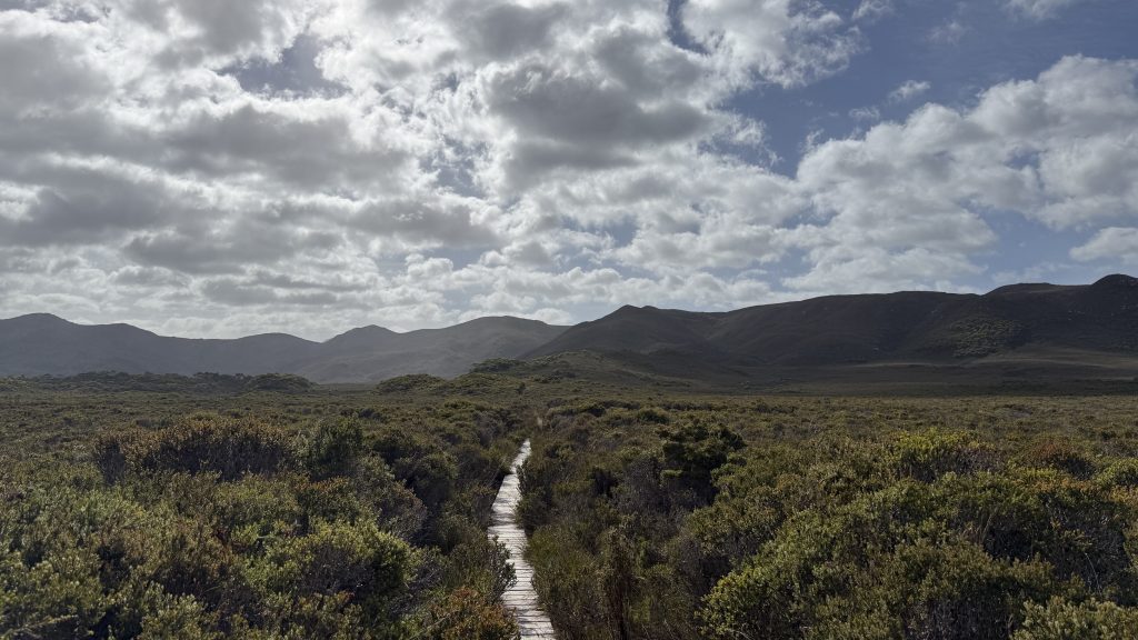
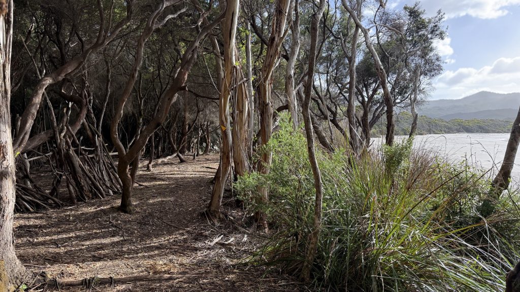
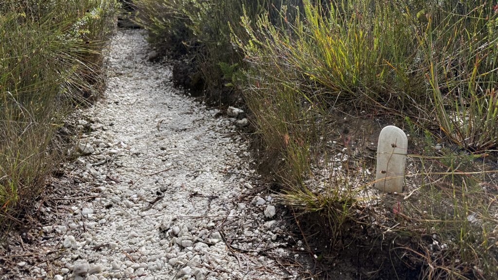
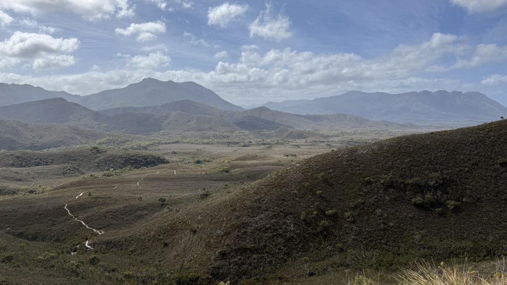
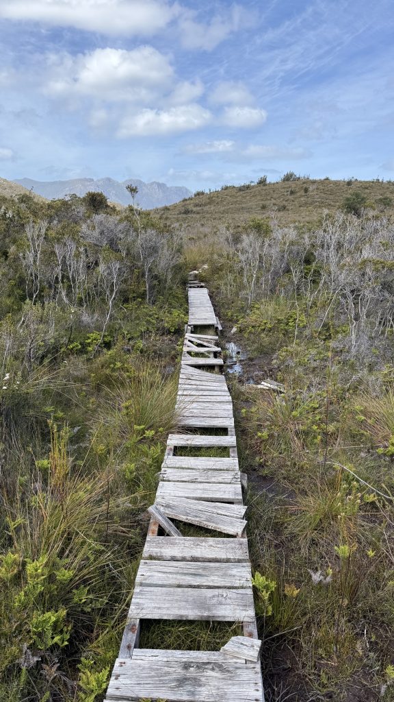
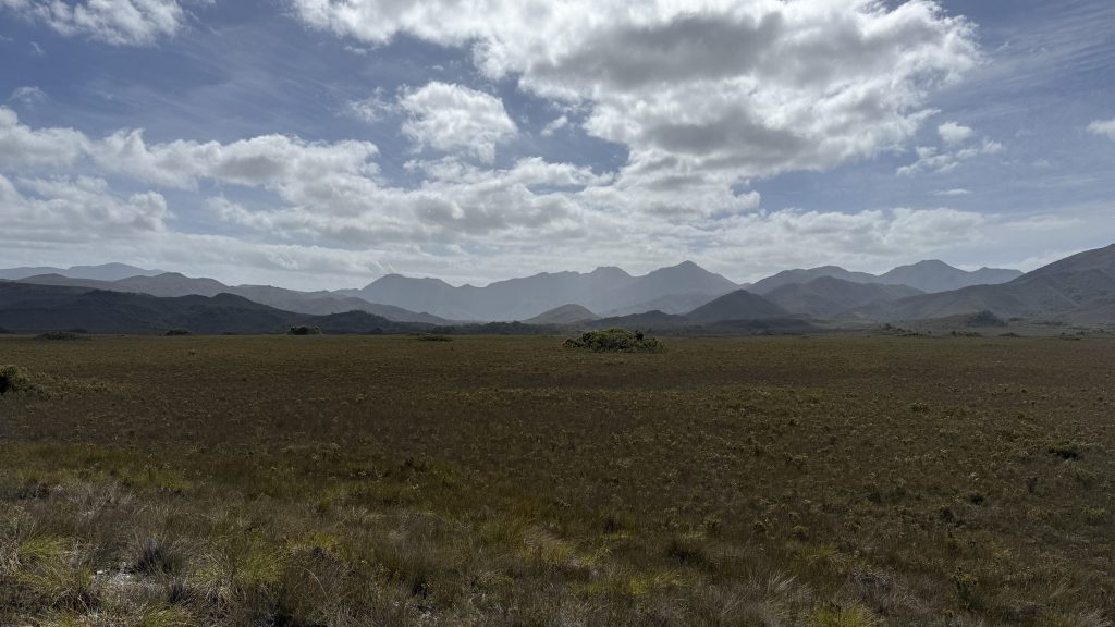
From Buoy Ck campsite the track climbs gently inland, largely on raised walkway, to the Red Point Hills. The climb up the track, which you can see from ages away, looks worse than it is.
I’m thinking about New Zealand again, and hikes and food. I want to lead another section of the AAWT for the club again this December. Also, in New Zealand they have this amazing flavoured milk in the stores; caramel and white chocolate. I could drink a litre of it. Use it to wash down a whole pizza. Pizza and a half.
I accidentally switch to selfie mode and see my face. I’ve lost my cheeks. And some of my neck. I look like a tortoise, head extended, sniffing for food.
Two pizzas, and save two slices for breakfast.
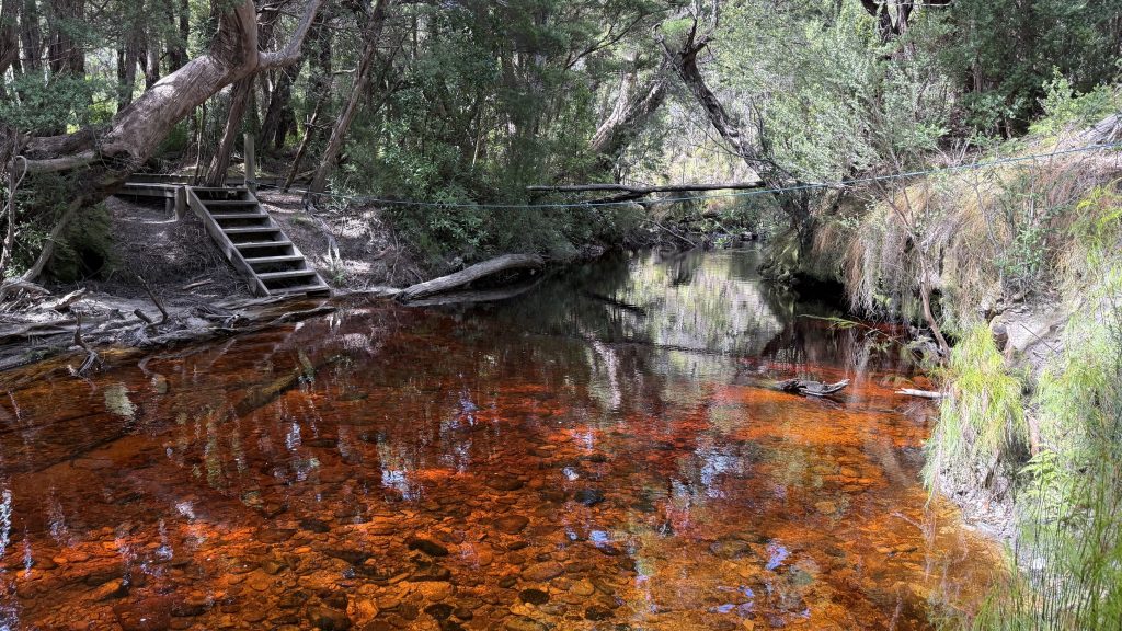
Louisa Creek is shallow enough to cross without messing with footwear. Maybe ankle deep.
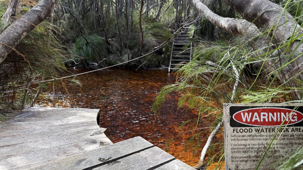
I imagine it’s the same tannins that stain all the waterways around here that make the mud acidic. I think it’s from the buttongrass, though the tea-trees probably help.
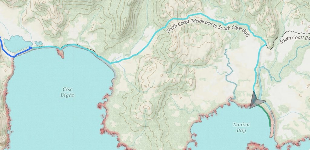
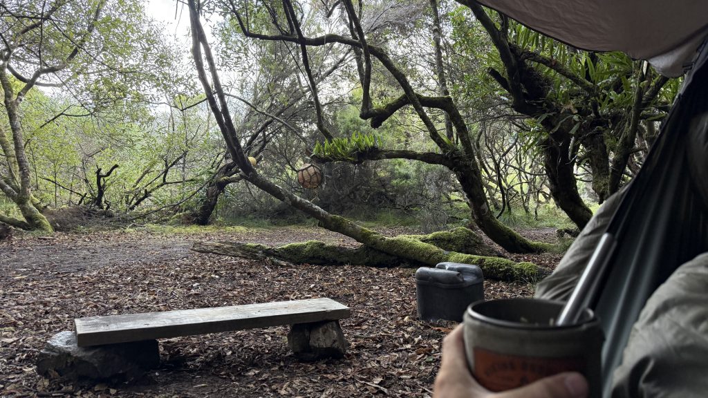
At Louisa Creek campground I decide I’ll do a water carry to Louisa Bay. The water there is described as coming from a drip off the rockface, and sounds tedious to collect. I sit and have lunch while I wait for it to filter.
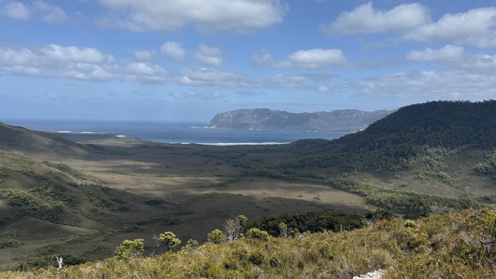
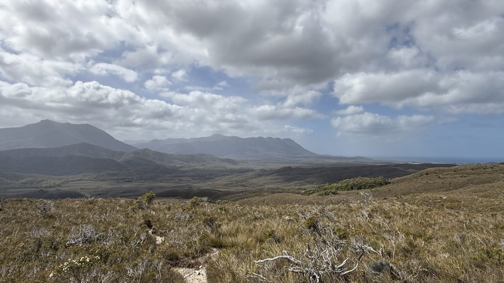
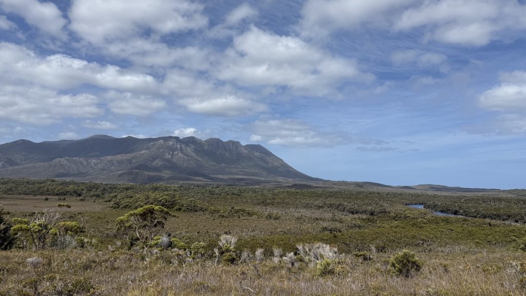
Compared to the Port Davey and South West, the SCT so far is a beautifully open and easy track. Some of it is falling into disrepair and scrubbing over, but on the whole it’s comfortable. I take the turn for Louisa Bay, winding over open grassland for a few kilometres with the Ironbounds towering menacingly to the east.
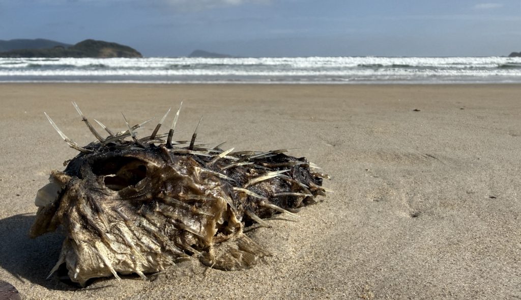
I spook a snake within 200m of the campsite, not far before the decline. Probably a copperhead. It’s the first I’ve seen since back on Tiger Road in the Florentine valley, and I’d kinda gotten out of the habit of keeping an eye out for them. It was sitting on the side of the track at about thigh height, and I got within maybe a foot of it. Close one.
First thing I do after this walk, I’m going to eat Hobart. You may think this ambitious, but I’ll do it the same way I approach any massive undertaking. One bite at a time.
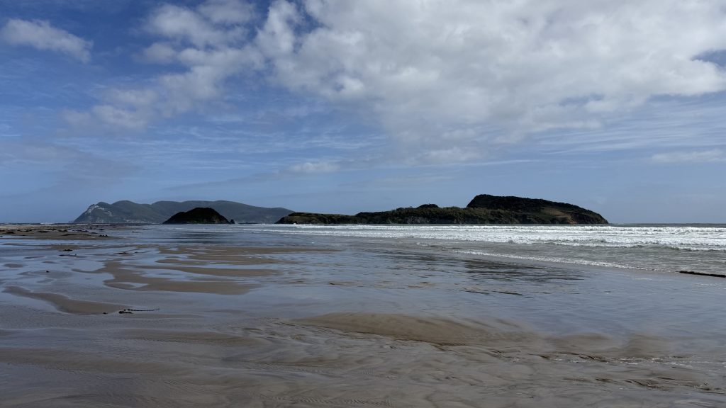
I drop my pack at the campsite and go for a walk down the beach. It’s longer than it looks, maybe 2km long. You can walk out to Louisa Island at low tide. I can’t be arsed. Also I have no idea if the tide is coming in or going out, and that seems like important information.
I’m in bed and cooking dinner by 5:00. I’m tired. Not “I had a big day” tired, or “I slept like shit and we’re out of coffee” tired. My bones are tired. But I will walk tomorrow over those ridiculous mountains, and whatever walking the day after that throws at me, because that’s what I do. That’s the entirety of me. Eat, sleep, walk. Everything else is pretty window dressing.
Each evening I take the food for the next day out of the big food sack and move it to the little food sack. Tomorrow, in honour of climbing a thousand vertical fucking metres with a full pack, I have given myself the mixed lollies for lunch, a second Powerade powder, and a mushashi bar for the end of the day. It’s the little things.