
Distance: 35km
Elevation: +400m -500m
Time: 9 hours
Total Distance: 48.5km
Let’s just keep walking?
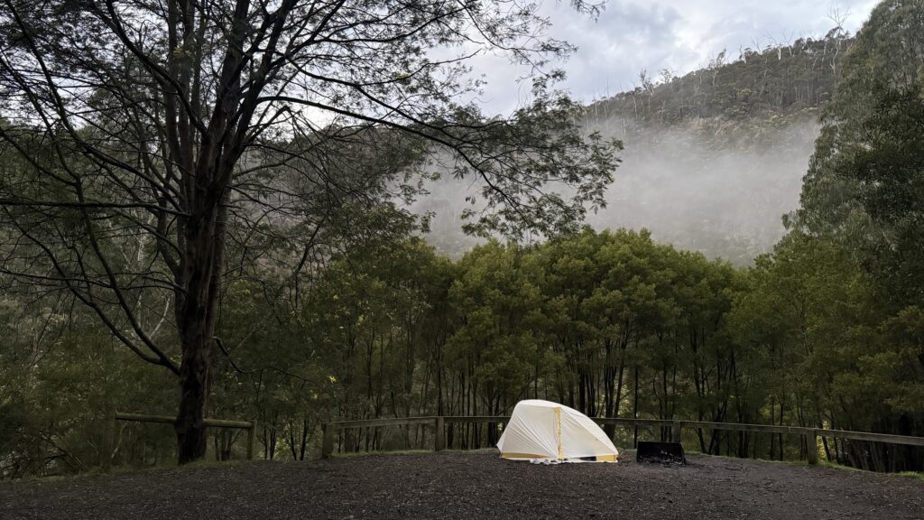
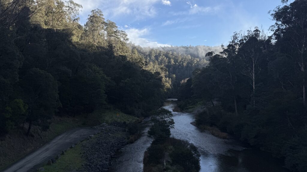
What a beautiful place to wake up. Magpies and kookaburras ring in the dawn chorus along with some less musical but no less joyous ducks. Any morning chill is tempered by how warm it is compared to Canberra. In the light of morning we can see that we’ve camped twenty metres from an idea site with a view down the river valley. Isn’t that always the way?
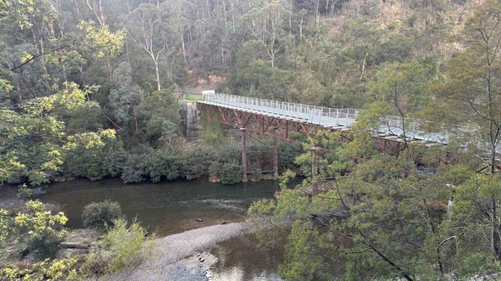
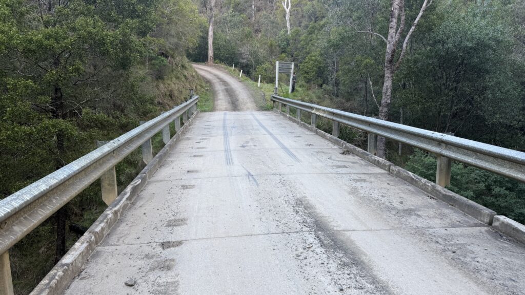
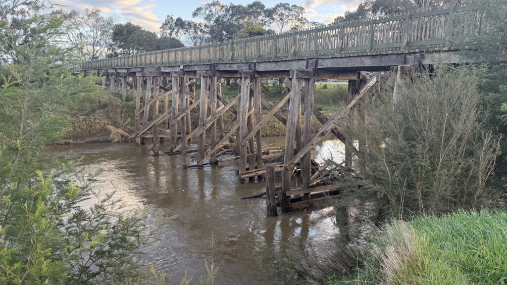
Bruntons Bridge crosses the Thompson river downstream of Walhalla. It was built in 1888 to allow supplies to be brought to Walhalla from Toongabbie.
We discuss pushing through to Toongabbie, but there’s no camping or accommodation available there.
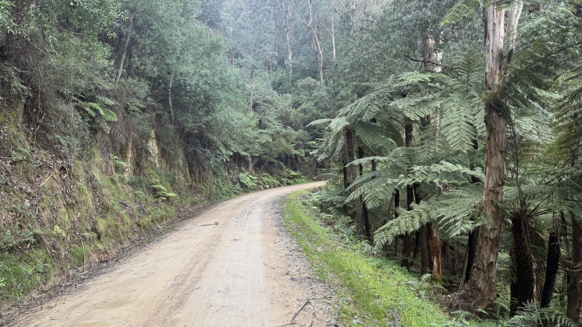
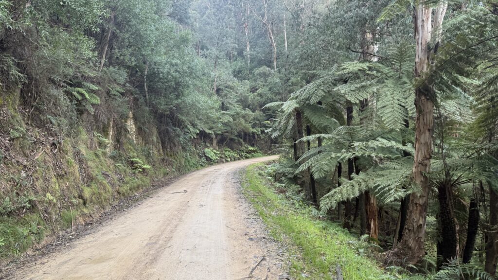
The walking is fantastically easy, enfolded by mountain ash and tree ferns we breeze down the trails.
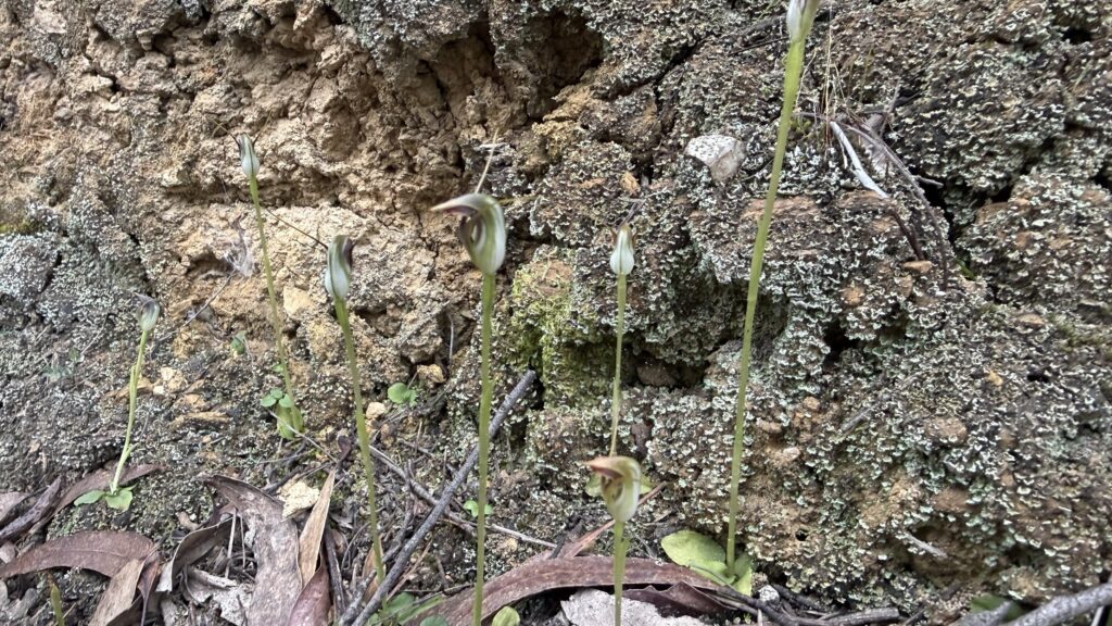
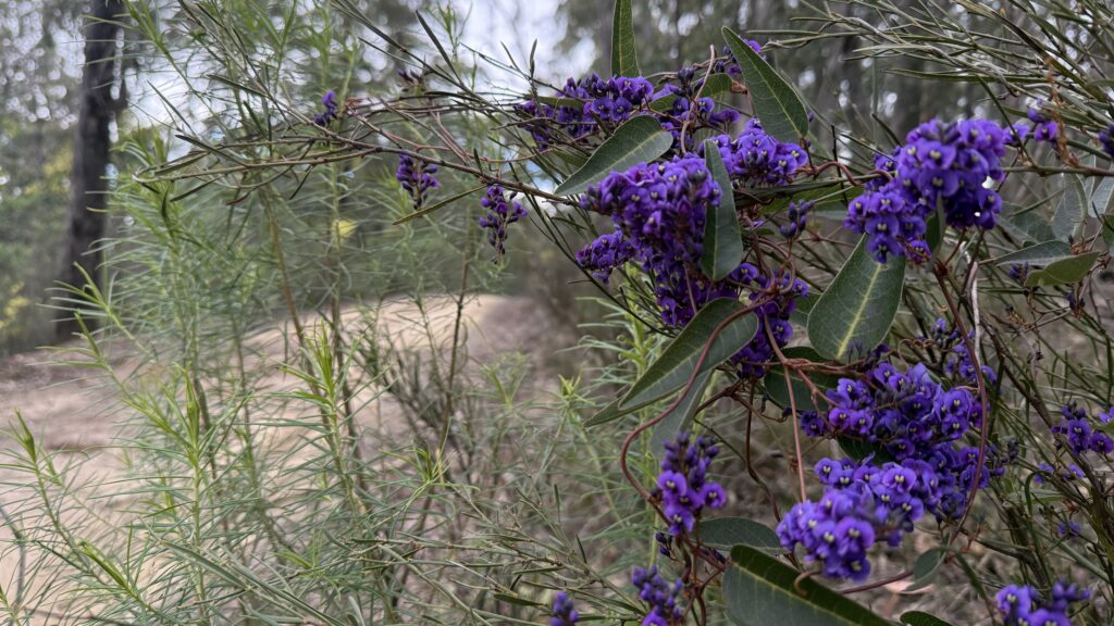
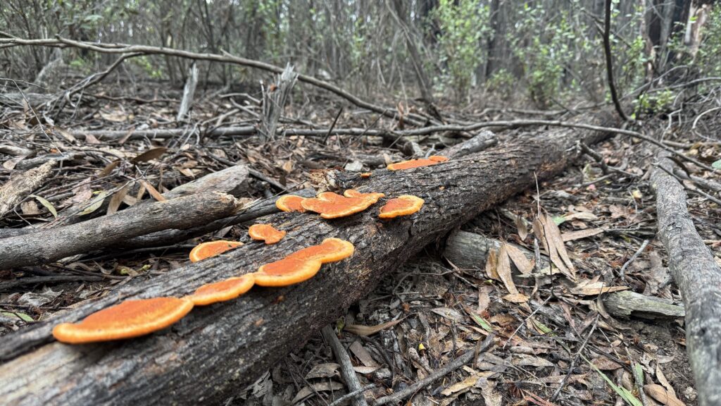
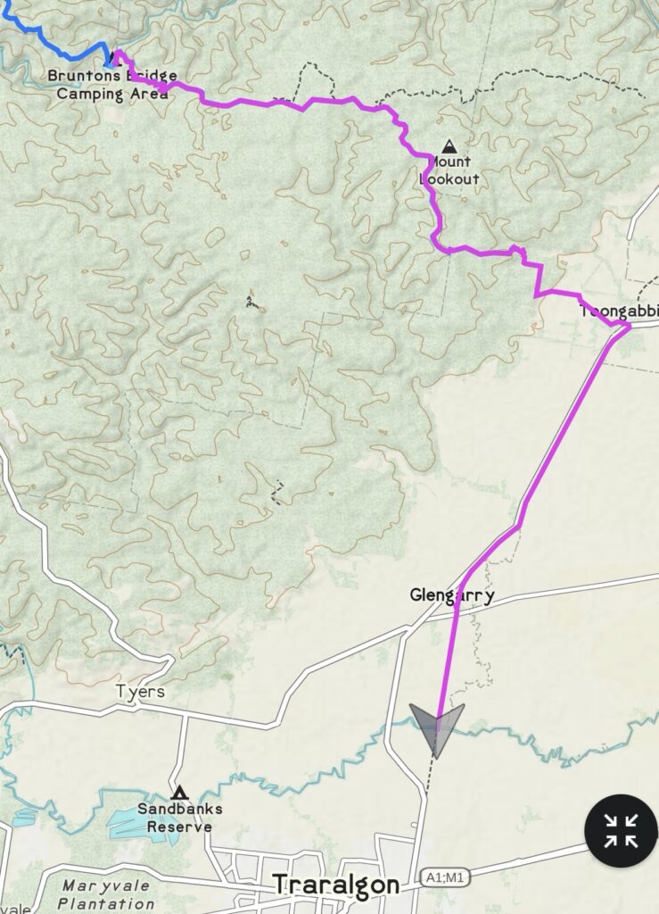
By midday we’ve done the 16km to the little creek we planned to camp at. We eat lunch and discuss options. We both have heaps of walking still in us. We decide that we’ll make for Toongabbie, possibly Glengarry, and just figure things out as we go.
The few hundred meters of off track to take us over to our connecting road turns out to be significantly less open and flat than indicated on the topo, but we’re a pair of hard-bitten mountain people, and we persevere.
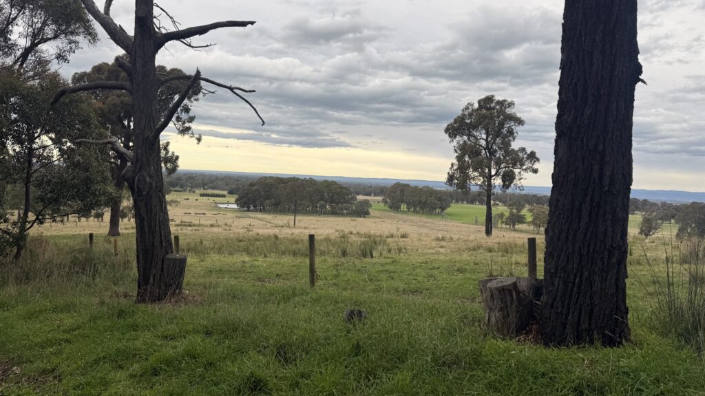
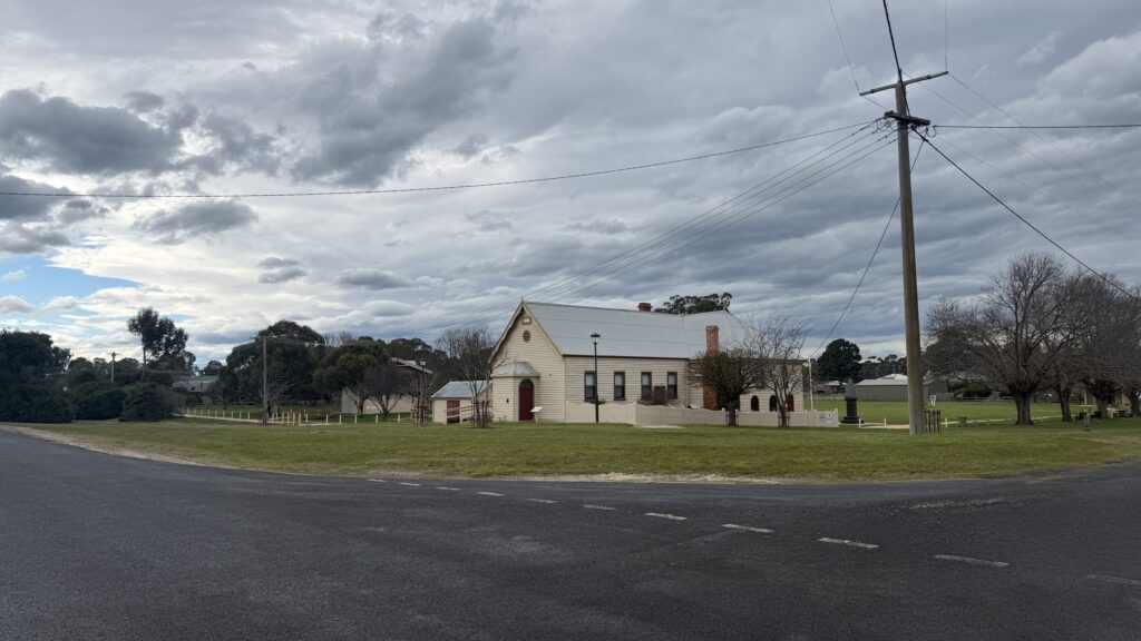
Toongabbie was a staging area for the supply run to Walhalla during the gold mining days. From Port Albert, cargo was brought here by bullock wagon, then transferred to pack horses for the arduous journey into the mountains.
Wide roads that still exist today are a legacy of the space needed for the bullock wagons to turn around.
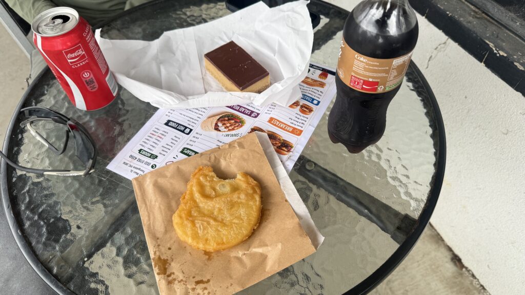
We had thought we might camp at the recreation reserve, suggested by a nice man walking his tiny Jack Russell. But when we reach the (well stocked) general store, we both still feel like we’ve got plenty of distance left in us. A quick sugar break to refuel the nuclear fusion power core, and we continue.
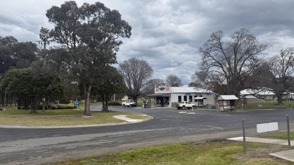
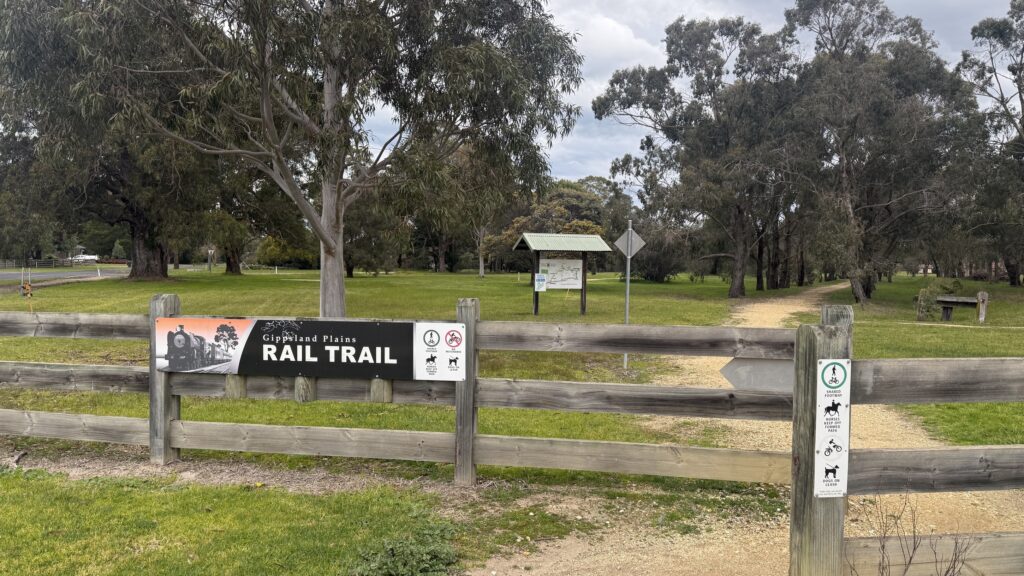
Officially there’s nowhere to camp, but conscientious hikers following leave no trace principles could find options.
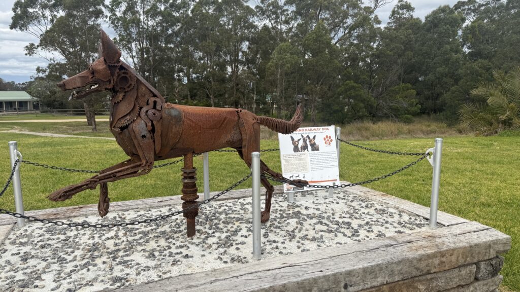
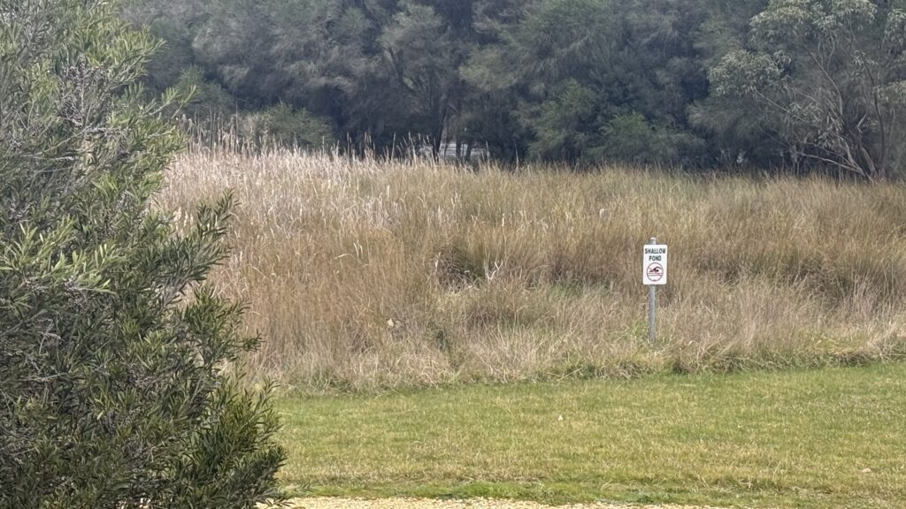
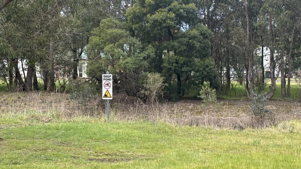
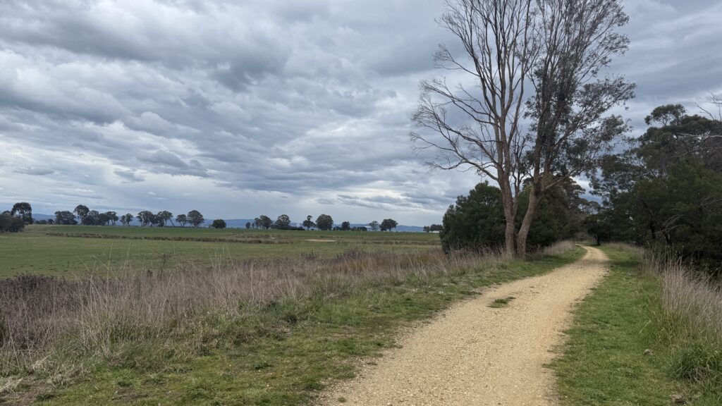
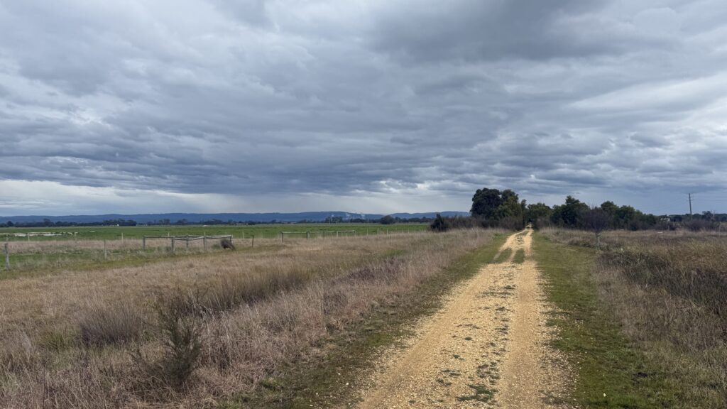
Unsurprisingly, the rail trail is straight and flat, and the 9km to Glengarry flies past. We probably clock close to 6km/hr at some points. One of the three huge coal power stations that we’ve observed looms closer, a stark contrast to otherwise pleasant rural scenery.
At Glengarry we stop again for food, and for Robyn to collect another geocache. I take back all of the misgivings I’ve expressed about this walk in the months leading up to it. A picture begins to emerge ahead of easy trails in good company through charming historical towns and punctuated by cafes and bakeries. Perhaps Robyn is not so much inscrutably crazypants as inscrutably wise.
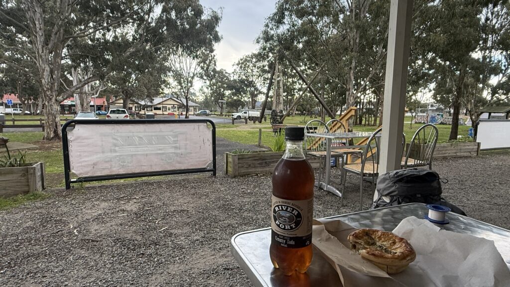
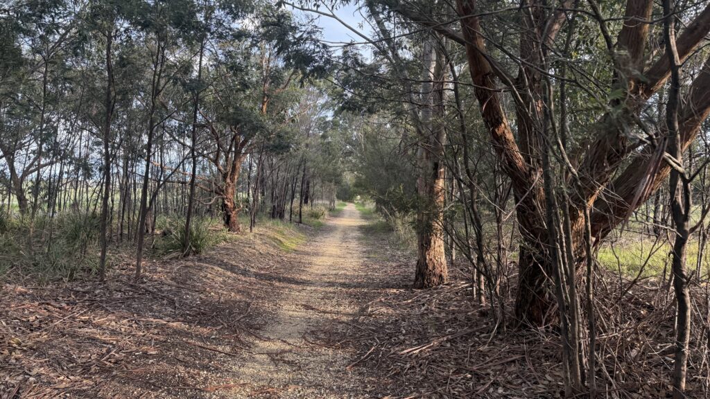
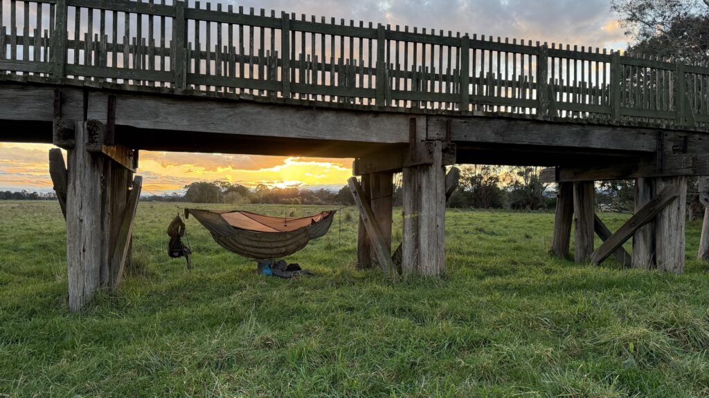
It’s a short hop down to the old timber trestle bridge over the Latrobe river. The landholder on the north side of the river has very kindly made a corner available for camping. There’s no toilet provision (including burying), so it’s alpine rules for packing your waste out.
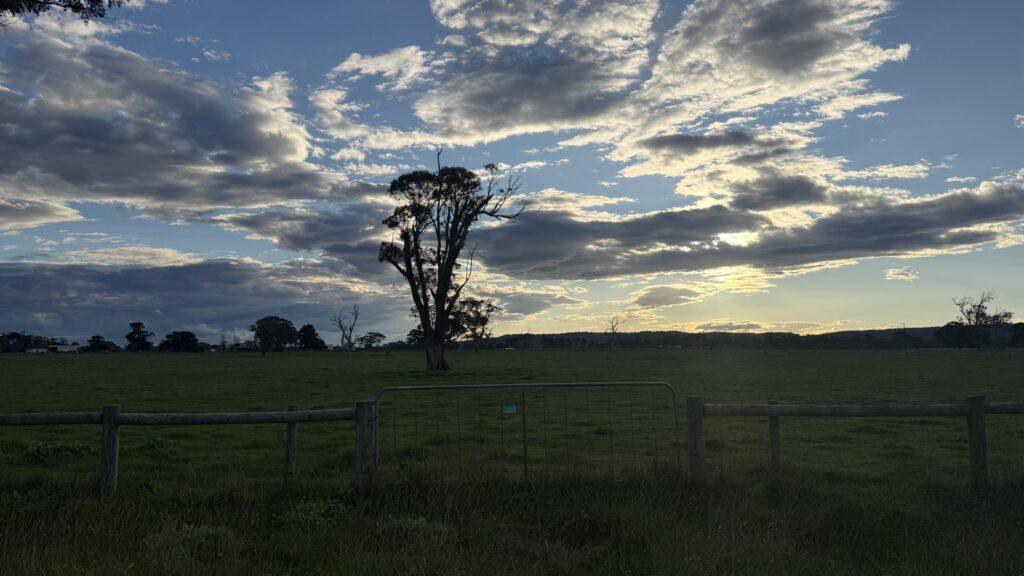
We’ve done 35km today. I have my first blister in four years and probably as many thousand kilometres. Robyn has broken her personal distance record. The sun sets like a bushfire under the clouds. We have whittled tomorrow’s walk into Traralgon down to 5km. I’m informed that our spare time will be filled with collecting geocaches.
We’re camped at 30m above sea level. The overnight low isn’t supposed to go below ten degrees. Looks like we’re in for comfortable nights ahead.
Discover more from Off Rambling
Subscribe to get the latest posts sent to your email.
