Off Rambling

The Adventures of a Silly Bloke

Latest stories

Orroral tracking station > Namadgi visitors centre

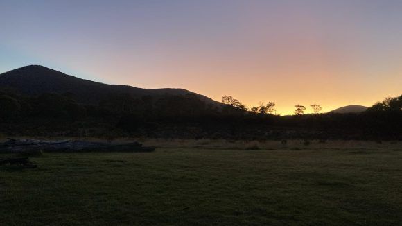
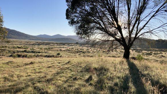
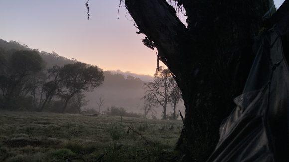
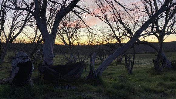
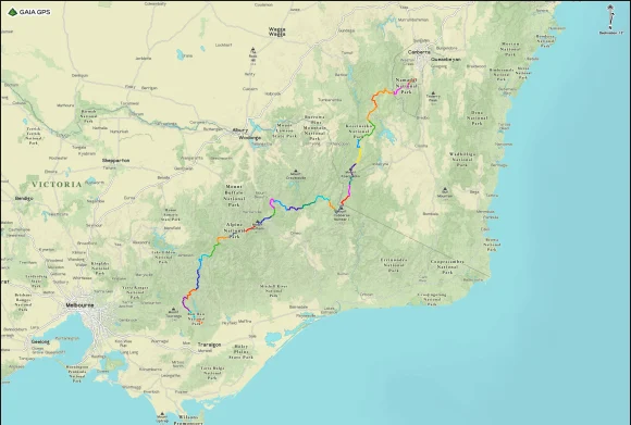
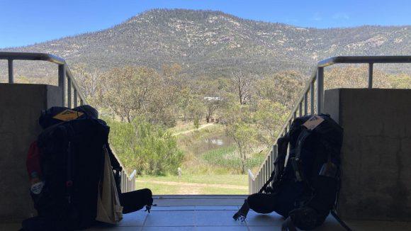
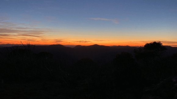
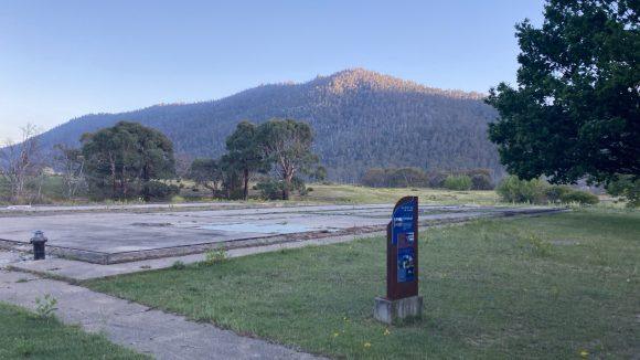
26.62km +793m -1085 The climb from Orroral valley to the Orroral ridge can best be described as ‘400 vertical meters of fucking bullshit’. And then the road winds down to Honeysuckle Creek tracking station. It’s a beautiful shaded campground, with only 16km left to the visitors centre Past Booroomba rocks, and Mt Tennent comes into view. Down through the thick regrowth to Bushfold flats. I walked...

Pockets hut > Orroral tracking station

31.96km +1058m -1343m Another cold morning. Eagle eyed readers may notice a pattern emerging. The gear I brought is proving to be just enough to keep me comfortable, but only barely. Lesson: do not underestimate overnight temperatures in the Australian alps, even in summer. Even on a short trip. It’s warming up quick, and we’ve got a short sharp climb in our future. Instead of the typical route...

Bill Jones hut > Pockets hut

15.4km +286m -318m A little chilly again this morning. We had a cheery little fire to warm up while having breakfast and packing up. We initially headed up the road towards the ruins of Haines hut before cutting across country towards Blue Waterholes. The plain is porous limestone and all the water disappears into the ground, only to pop out again elsewhere. We joined the Nichols Gorge circuit...

Millers hut > Bill Jones hut

25.6km +530m -617m Feeling somewhat refreshed after twelve hours in the hammock. A beautiful, if somewhat misty and damp dawn. It was a nice enough walk along the Port Phillip trail (though I think we’re some distance from Port Phillip) and mosquito creek trail. The weather is perfect for walking. After Ghost Gully campground the trail becomes less open and the forest provides nice shade. Rod had...

Witzes hut > Millers hut

16.7km +393m -419m Another cold morning, though not as bad as the one before. I was packed up and twiddling my thumbs while I waited for Rod to get his shit together. The first few kilometres were unremarkable, though the sky was clear and blue and the temperature quickly climbed to a very pleasant mildness. Open plains and rolling hills and the occasional copse of snow gums. It’s a long walk...

Broken Dam hut > Witzes hut

25km +545m -793m It was not six degrees last night. I don’t know what it was, but it was frosty in the morning. In light of that, I think I did a decent job of not being especially cold during the night. Having my cold weather quilt might have been nice though. A beautiful dawn, and we were walking by not long after 7. This flat worm looks mighty round. It didn’t take long before we made it back...

Surprise section hike! Kiandra to Tharwa

10.94km +377m -170m Got driven out to Kiandra by Tim (thanks bro!) and started walking south. It’s good to be back on the track. The wind is strong but not annoyingly so, and just cool enough to counter the warming effect of hiking. Rod, who you may remember from such adventures as “the time two idiots walked a stupid distance mostly together” decided he loved the AAWT so much he’s doing the ⅔ of...

GPX routes and waypoints for GPS.

I’ve created two routes for the AAWT that can be loaded into one’s GPS app of choice; one that describes the route more or less along official lines and the other that captures all the side trips suggested by Chapman. I’ve also finished re-doing my GPS waypoints for the walk (all 399 of them!), based on my own experience from last year and Chapman’s notes. This includes...

Epilogue – Reflections and files

Coros watch: 777.16km +31,594m -32,096m GaiaGPS: 761.2km +33,673m -33,404m (including Hotham hitchhike and Thredbo chairlift) It’s simple really. You put one foot in front of the other. As much as possible, you make sure your body has the food and water it needs to keep doing that day after day. You protect the body from injury and disaster so that it can keep doing it. You do this until you...

Day 32 – And whither then, I cannot say

16.52km +336m -803m A clear, mild night with the stars all shining bright, and the moon didn’t rise until late, and a chorus of birdsong to bring in the morning. Some friendly campers loaned me a phone charging cable last night, averting disaster. Mount Tennent, the last peak on the walk (we go over the saddle) beyond which lies the visitors centre and their freezer of assorted ice creams. The...

Day 31 – What rough beast, its hour come round at last, slouches toward Tharwa to be born?

38.33km +1390m -1777m Two paths diverged in the woods, and I took the one with the clearly defined trail markers and cairns, because the other one is like, probably a wombat trail and goes through blackberries or some shit. I woke at 3:30 to climb Mount Bimberi by moonlight and head lamp. The track is fairly indistinct in the dark, and the rocky footpad doesn’t make for the easiest walking, but I...

Categories

Toss me a muesli bar?

Newsletter: