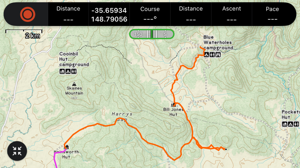
Distance: 22.2km
Elevation: +193m -361m
Time: 6:00
Total Distance: 173km
What’s brown and sticky?
A stick.
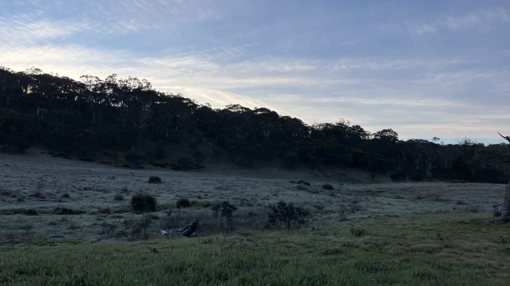
The thermometer dangling from my pack says the temperature fell to -2° this morning. I vaguely recall somebody saying that black sallees grow on the edge of frost hollows. There was frost. I roused myself from the snuggly warm cocoon of my hammock to go and light a fire in case anybody had gotten too cold overnight. The work of a leader is never done.
While we were packing up a lady from NZ walked into camp with her pack. She’d walked from Kiandra to Ghost Gully yesterday (32km) and risen early enough to be passing through while we were still getting our shit together. She said she’s new to multi day hiking and none of her friends wanted to join her, so she just dove in.

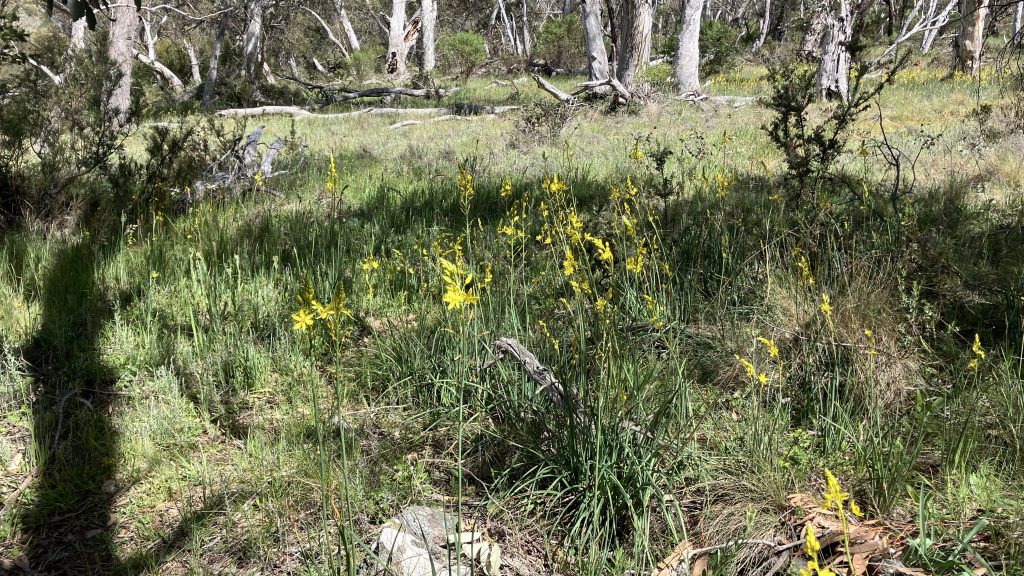
The frost burned off, and the day was bright and warm and lovely. The track passes through some beautiful unburnt forest of snow gum and black sallee.

Only Robyn was interested in looking for the old cherry orchard, planted maybe a hundred years ago by a nearby inhabitant, so we split off and dropped our packs and skirted the feet of the hills north of Currango Plain. I first heard about the orchard when walking on the far side of the plain and Garry pointed vaguely and mentioned stumbling into it maybe ten years ago. I went looking for it last year when I walked through here, but didn’t find it. Armed with a better location, we found what was left; a handful of stunted individuals, none of which were bearing fruit. Oh well, quest completed.

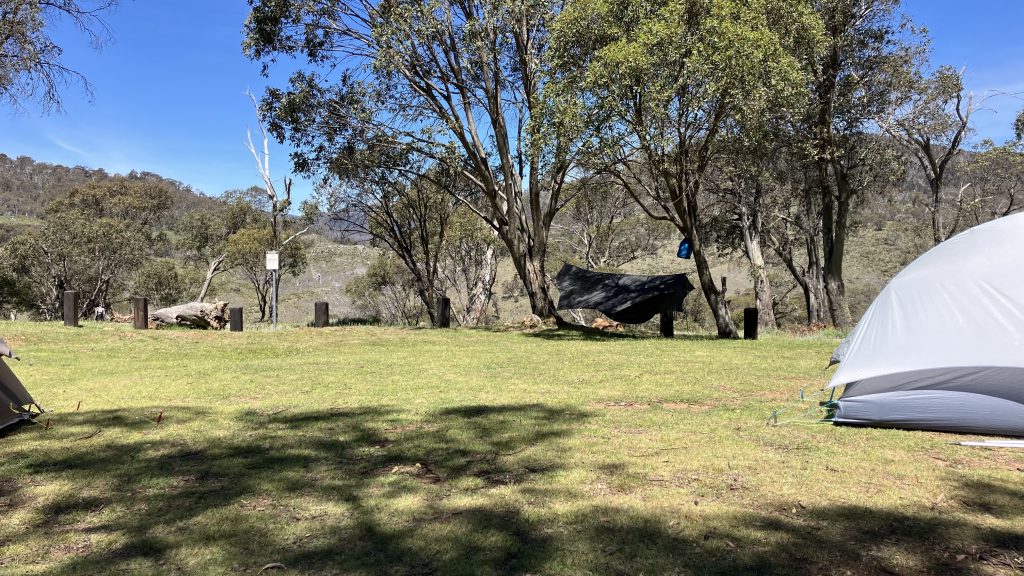
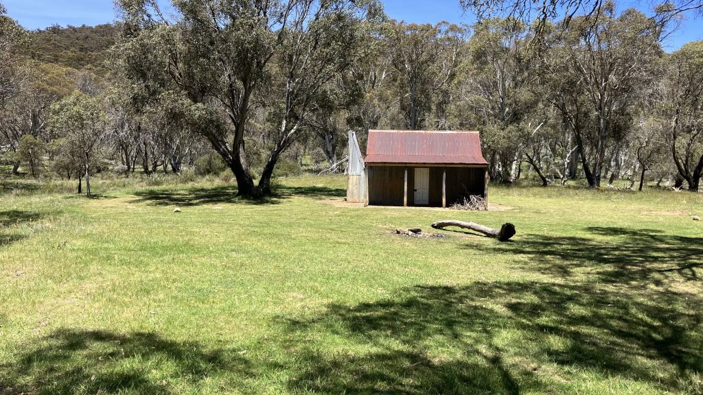
I’d put Inga in charge of the others and sent them on ahead, so we chased them first to Bill Jones’s hut; a dismal dirt-floored hut with one grubby window located in a fantastic camping spot. While waiting there, we helpfully received a warning to watch out for the snake…

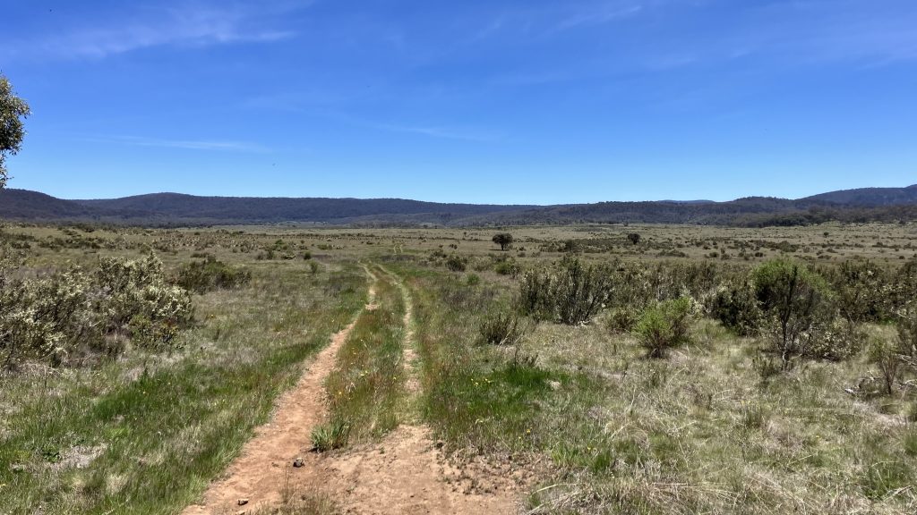
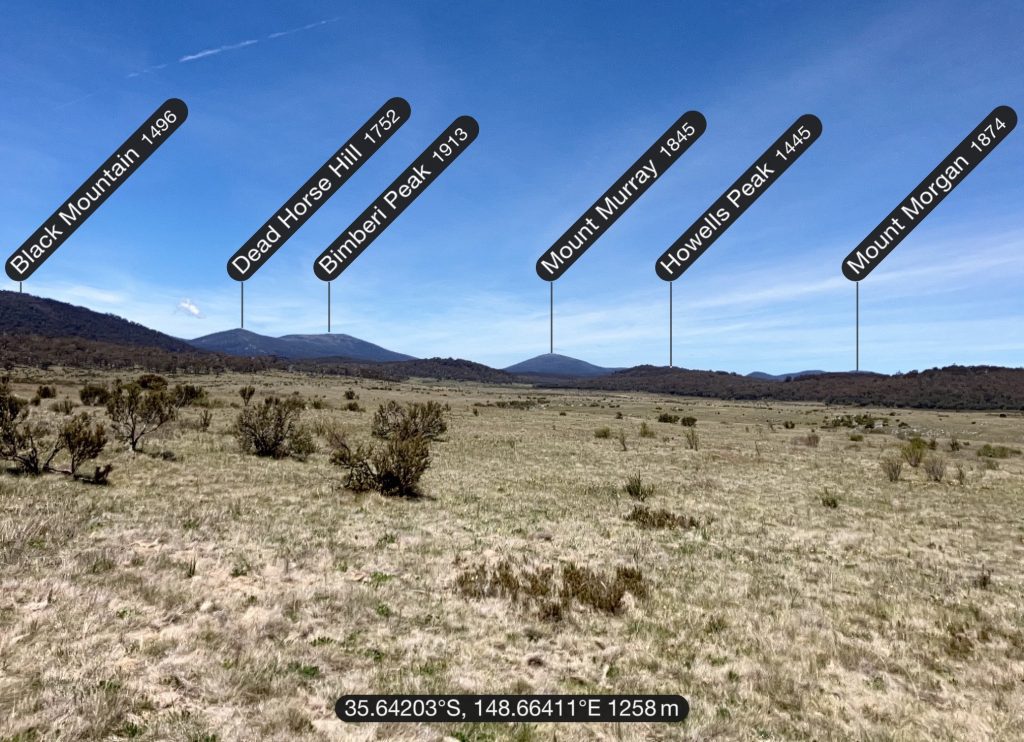
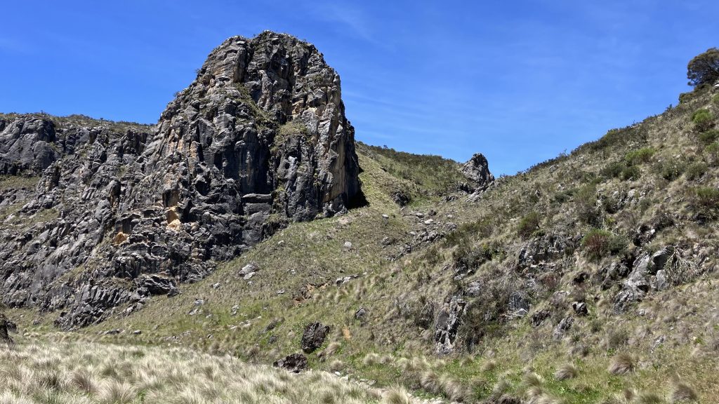
Then it’s off track across Cooleman plain, where familiar mountains show unfamiliar profiles…
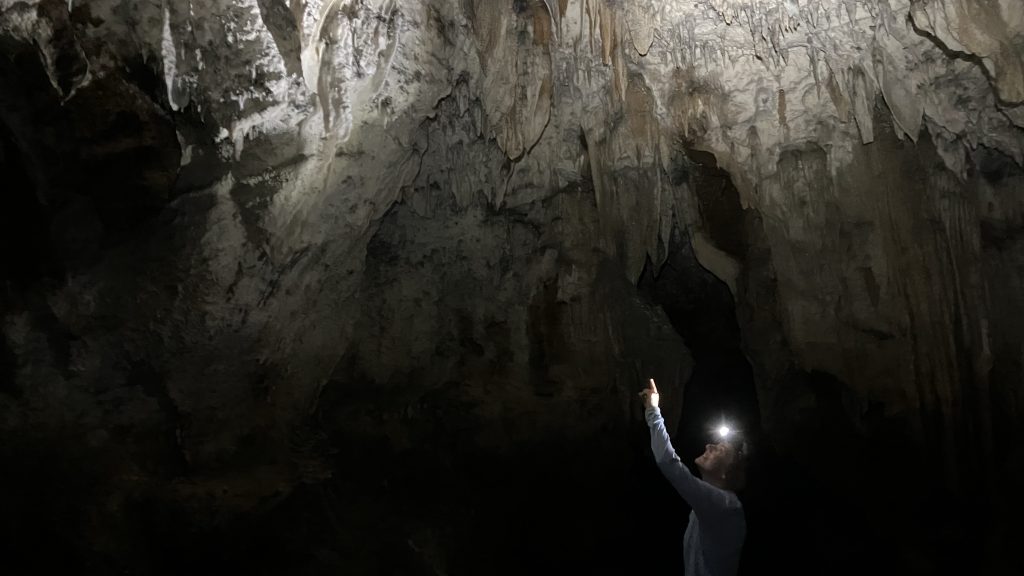
…down to river cave and Glop Pot, small caves worth sticking a head in, then over to Murray’s cave. This cave can be easily walked through with a minimum of ducking, and goes back 100m to a water siphon, beyond which a further 300m of cave exists. During prolonged drought this water siphon disappears. The cave is full of beautiful stalactites and stalagmites and mineralisation, and shows very little sign of vandalism.
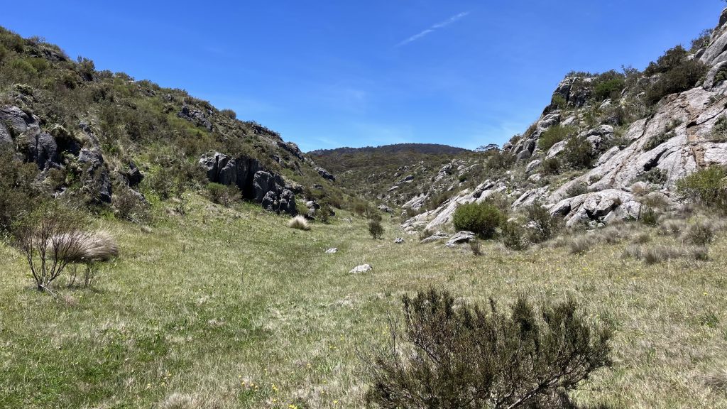
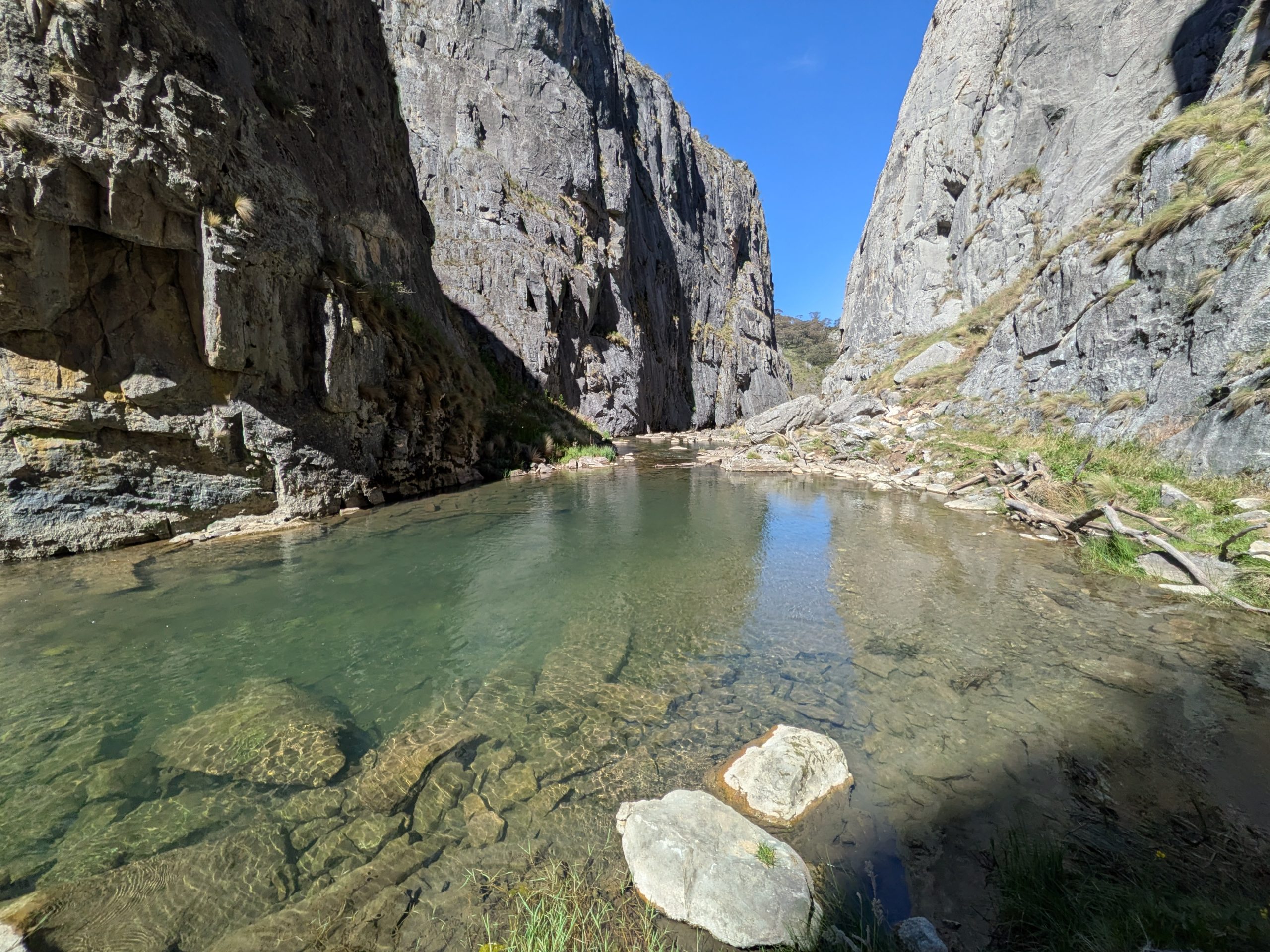
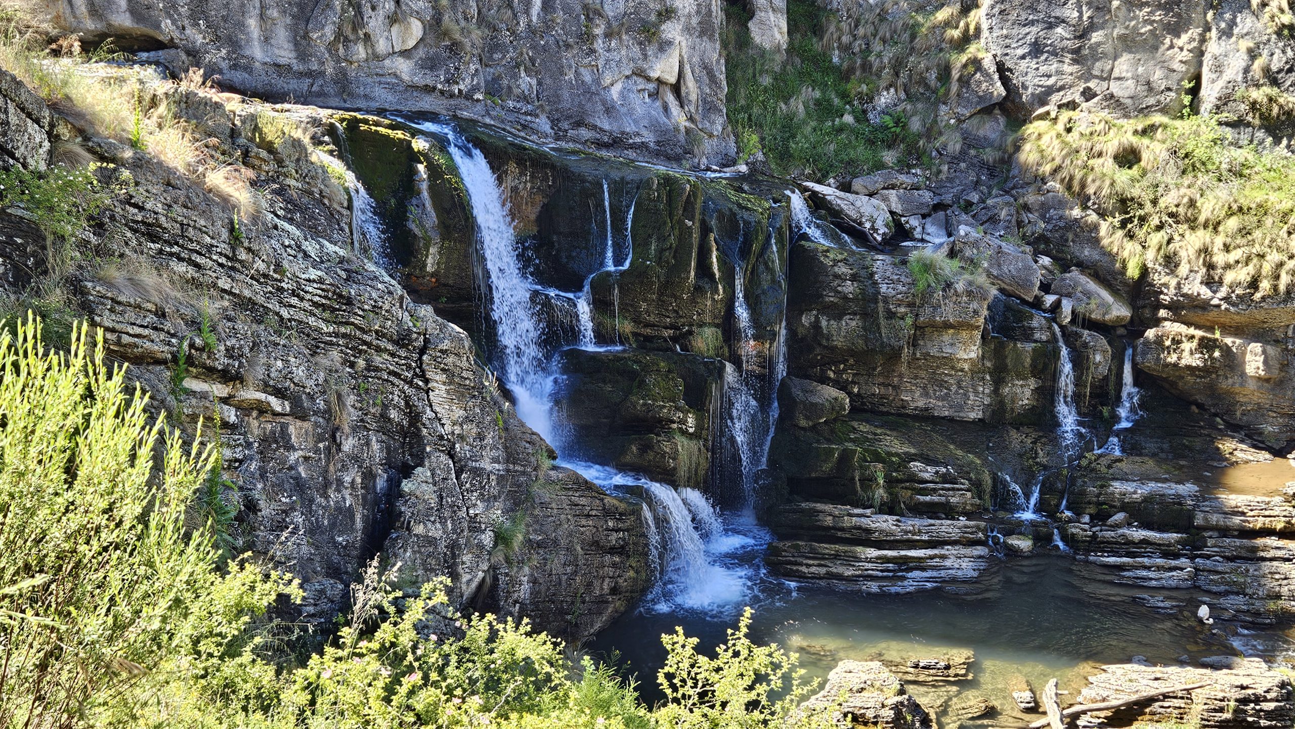
Beyond the cave, Nichols gorge winds down through fantastic bluffs to Blue Waterholes campground, a popular 4×4 campsite that requires booking. After setting up camp at the flatter Magpie Flat campground (free) just up the road, we wandered down to the waterholes and down Clark gorge. The water that burbles out of the ground winds down through precipitous bluffs, and if you’re willing to cross the creek nine times to shin depth, you can follow it down to the beautiful Cooleman falls. The base of these falls would make a brilliant place for a rest and a swim if not full of Instagram girls tarting up the place. We all found our own private pools along the creek to have a quick dip and clean off.

It’s a shame the AAWT doesn’t follow this route. With a minimum of track work it could be routed from Bill Jones hut across the plain the way we came in, and out through Clark Gorge to the Goodradigbee and Pockets hut. I highly recommend thru hikers make the detour.