Distance: 19.7km
Elevation: +486m -348m
Time: 8hrs
Total Distance: 54.7km
Keep rolling, rolling, rolling on (your ankles)

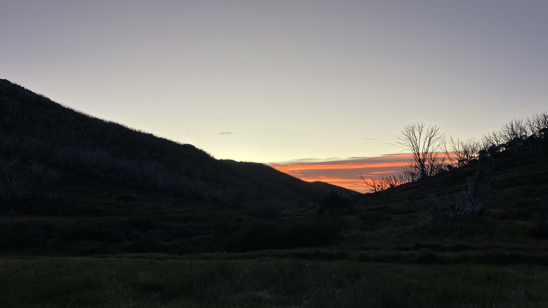
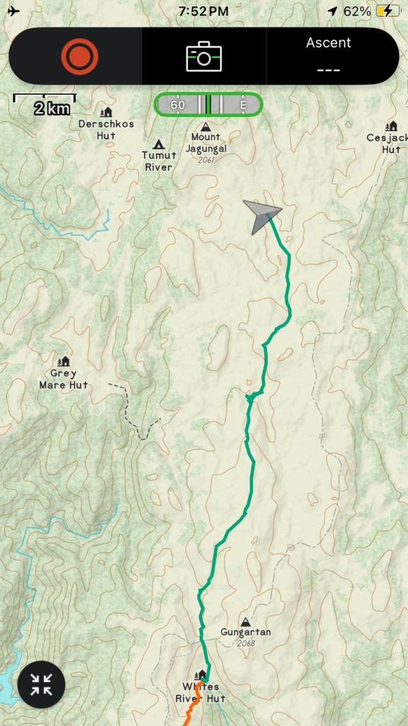
A beautiful sunrise to start the day, with my customary coffee from the hammock. As leader, I can choose what time we start walking each day and 8am has been feeling very comfortable. We started with an easy walk on dirt road up to Schlink pass, and then to the hut known colloquially as the Schlink Hilton because of its large size and many beds.

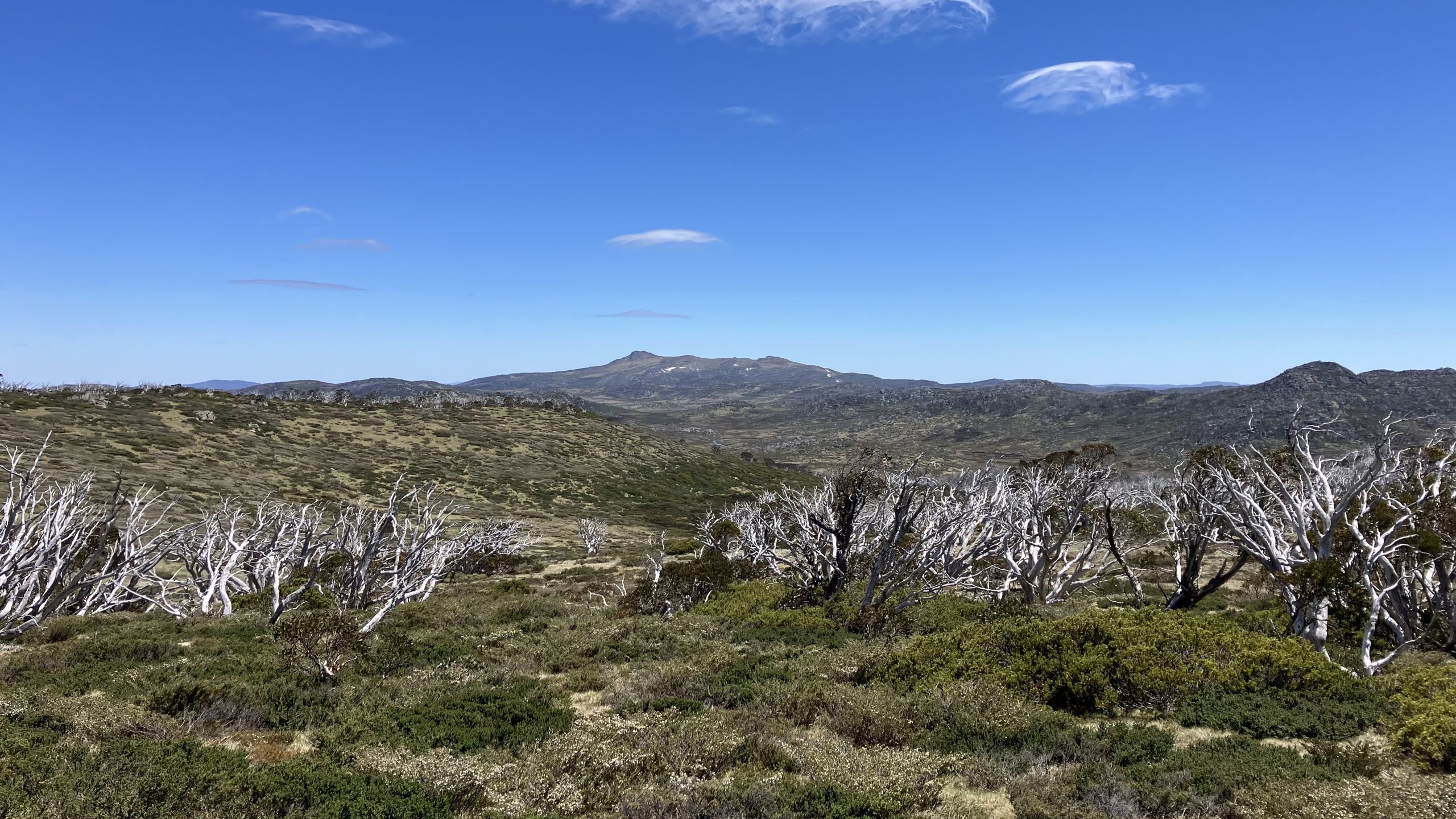
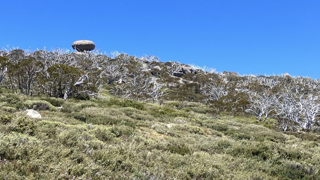
From Schlink hut we left the track and cut up towards Kerries ridge to meet the route we would have taken if we’d done Mt Gungartan. This region is vegetated largely by a knee high woody scrub that needs to be navigated between to avoid excessive energy expenditure.
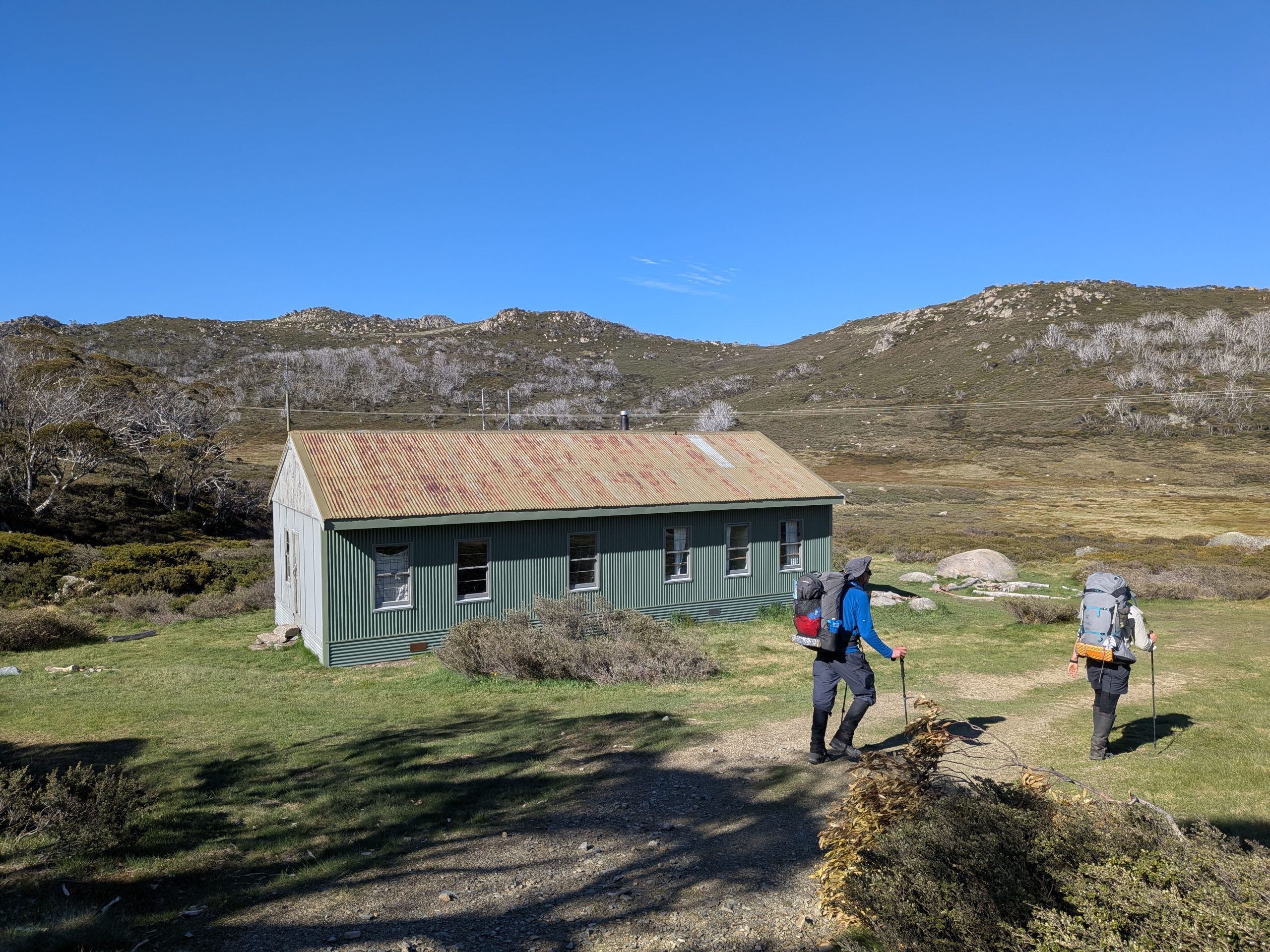
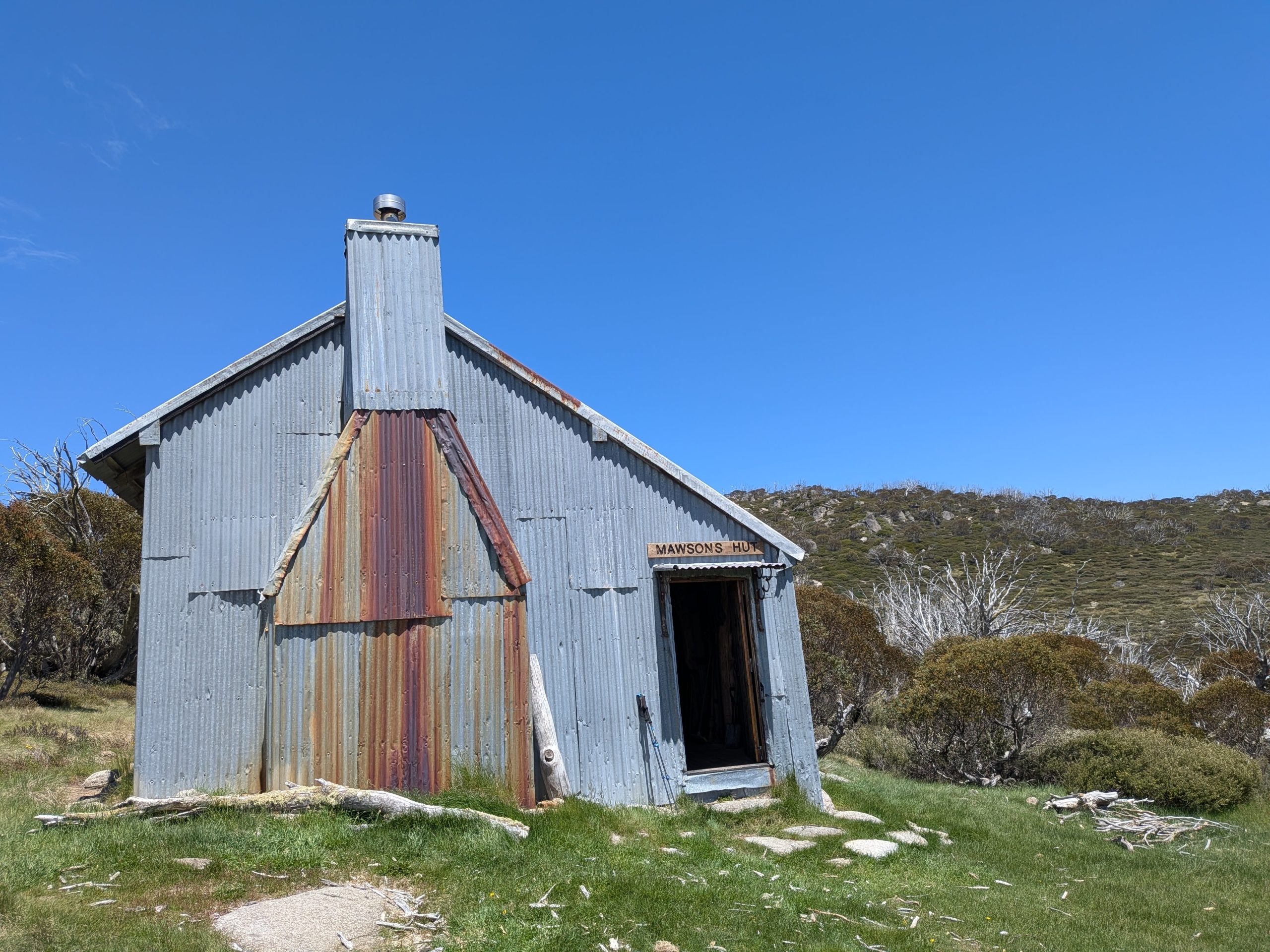
Eventually we made it down to Mawsons hut for lunch. Built by the famous explorer’s younger brother, it marks the site where, having left Melbourne for the North Pole, the expedition became snowbound and were forced to eat their experimental sled-weasels.
After the hut comes a crossing of Valentines creek, which despite some early concerns was no more than ankle deep. From here the walking became very tiring, consisting of a mixture of spagnum moss, boggy ground and ankle-rolling button grass.
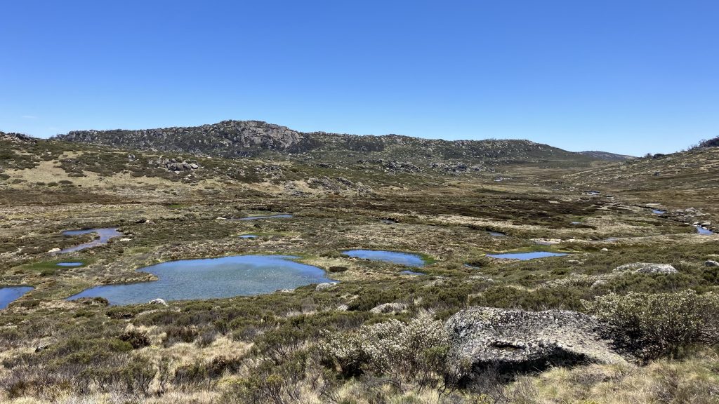
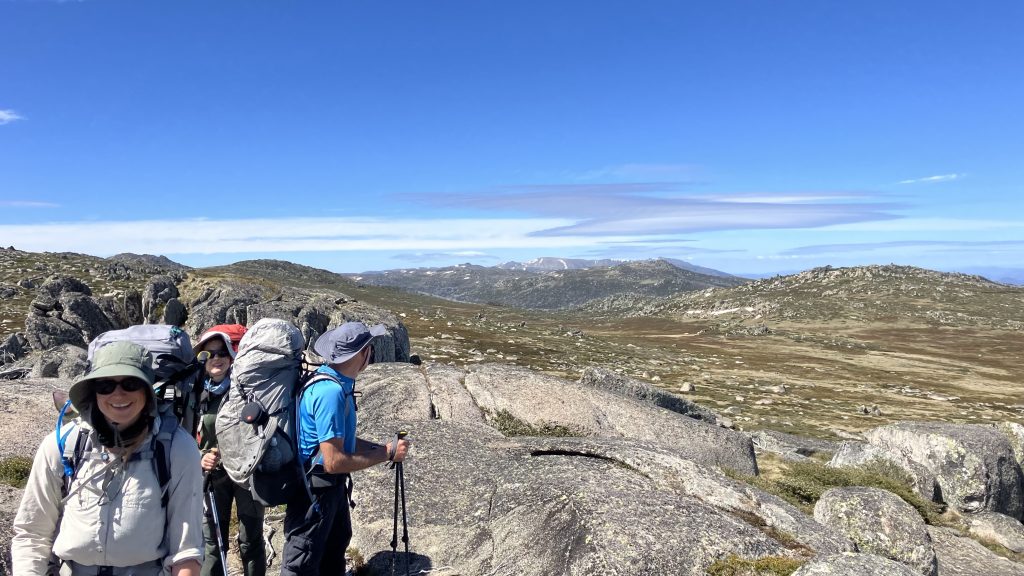
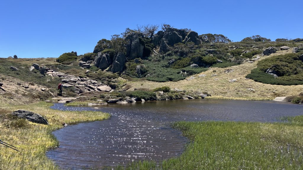
We rested for a while at Bluff Tarn, near Tarn Bluff (named for each other).
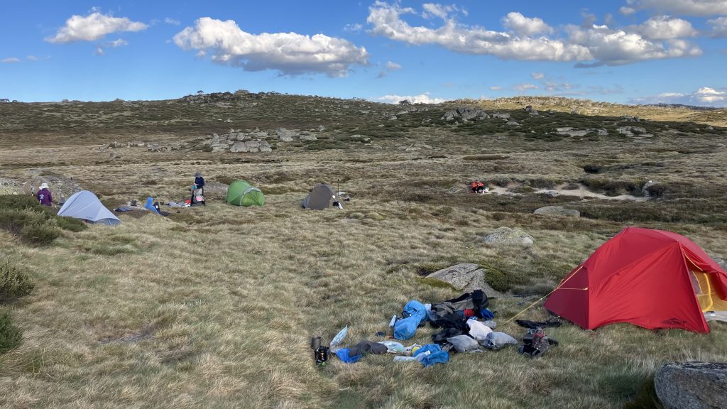
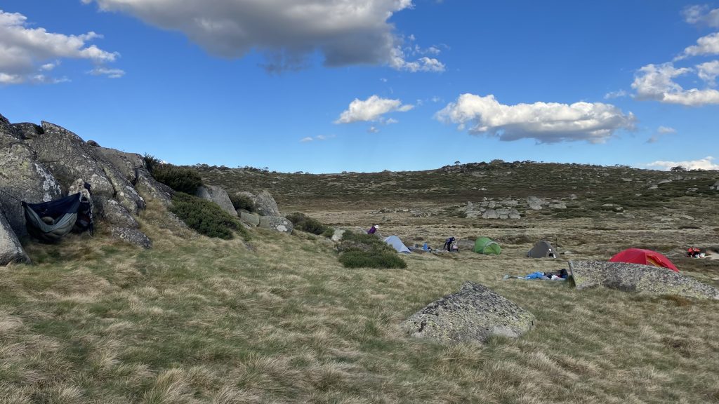
Then continued to a slightly sheltered campsite on the Geehi river. I feel like we all did extremely well to get through today’s walking.
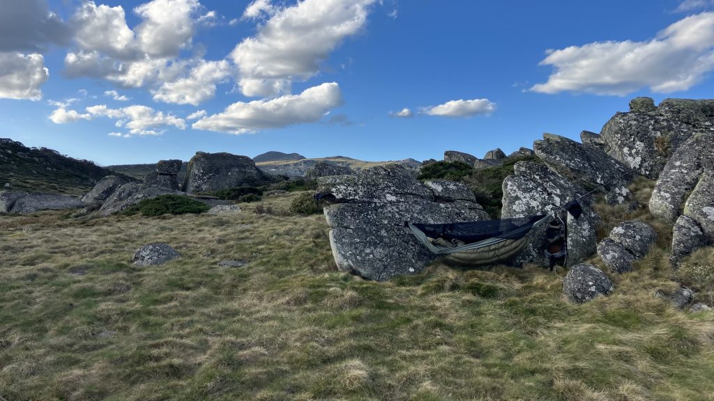
Getting my hammock hung amongst the granite boulders was a long and challenging effort, but I got there in the end.
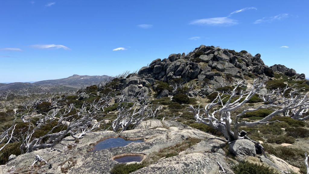
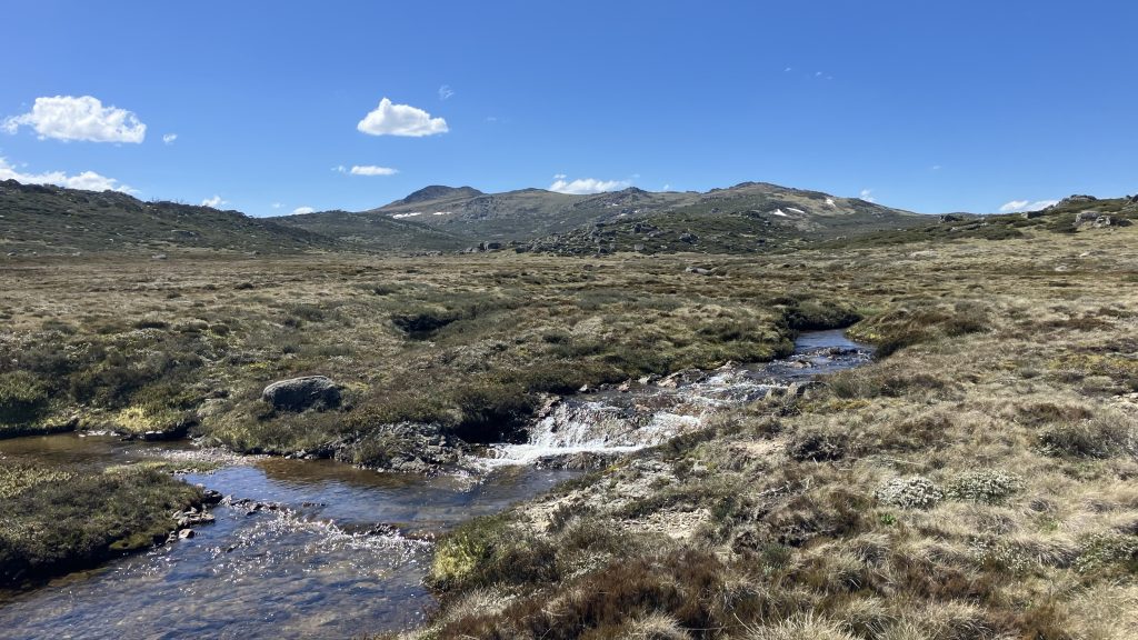
Mount Jagungal has been looming closer each time we looked up throughout the day. Tomorrow we will climb it.