
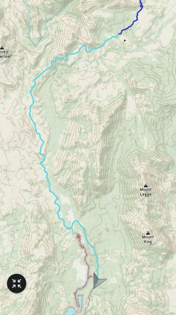
Distance: 23km
Elevation: +700m
Time: 8:15
Total Distance: 519km
Scoparia, scoparia;
Nothing could be scarier!
I wish my legs were hairier
When walking through scoparia.Linda Groom
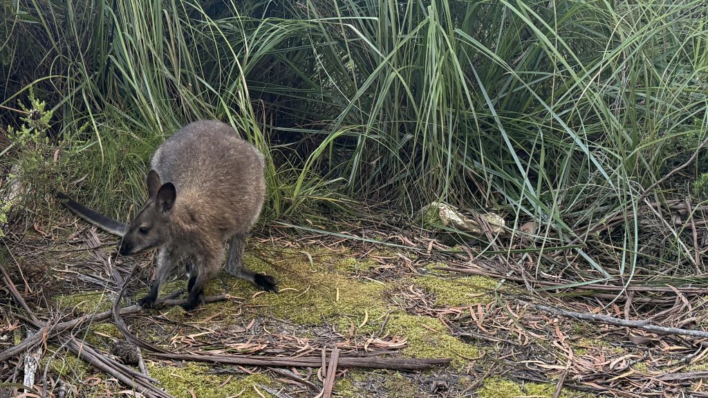
A wallaby scampers around camp as I wake up. The birds are chirping. It’s going to be a warm day, and I suspect another tough one.
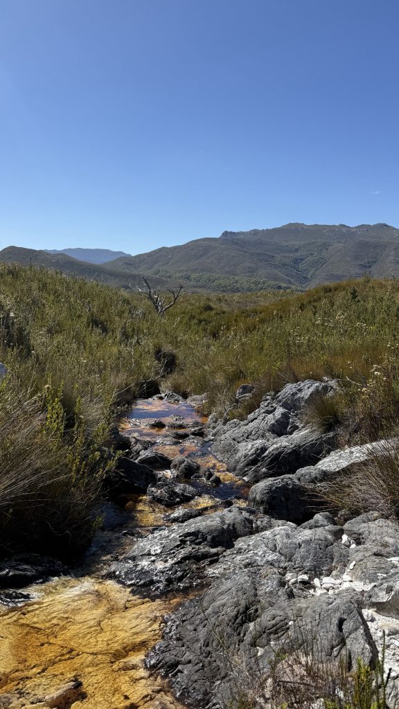
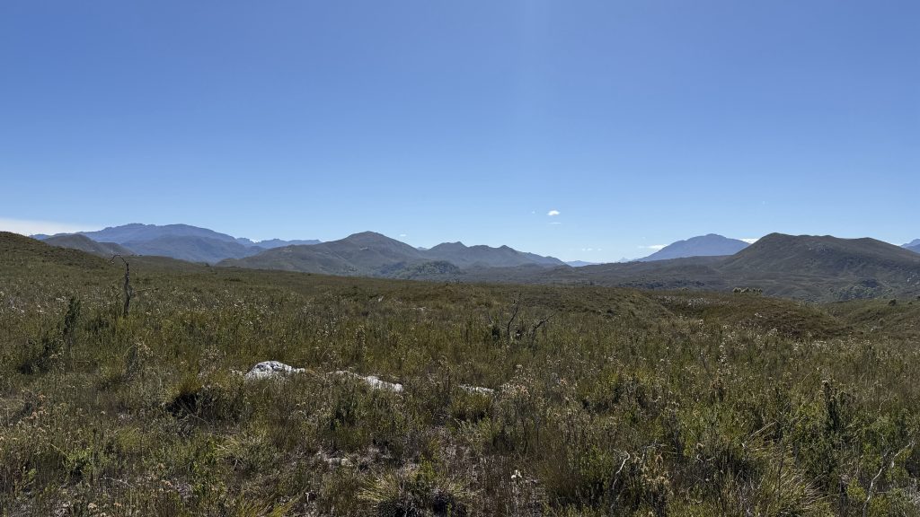
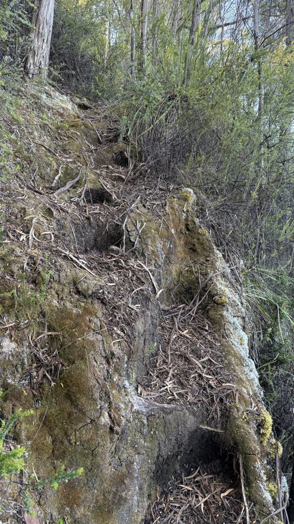
Straight out of camp, it’s mud and dense trackside scrub wet with the morning dew. But then after about a kilometre it opens into buttongrass and the walking is easier for a spell. I feel like my descriptions of this trail are becoming tediously repetitive. The landscape changes only slowly and by tiny degrees.

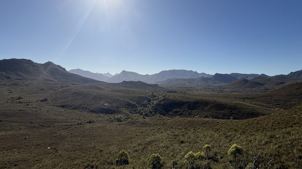
Approaching the Lost World Plateau, the track is largely benched into the sides of the hills, contouring gently up and down, and the walking is often more open and easy, though sometimes not.
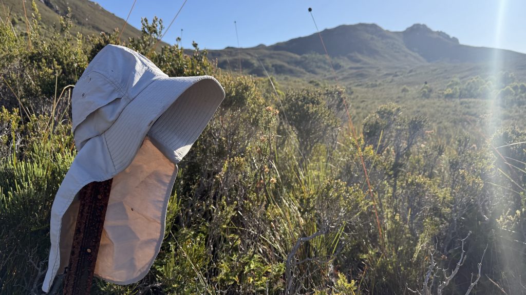
I find a hat sitting on a marker post. Somebody might be missing that. I stuff it in my pocket. I’m now carrying three hats and three buffs. That’s way too much headwear! (I picked up a baseball cap in Lake St Clair to keep the hood of my rain jacket off my face).
I find myself thinking about other hikes as I walk. Bruce and Monika are mounting a full Arthurs traverse a week after I fly home. That would be an amazing end to this adventure, but I can’t afford the extra time. Te Araroa (literally The Long Trail), traversing the full length of both of New Zealand’s islands over 3,000-odd kilometres has been calling me since I first visited my mum at her place near Te Anau last February. I find myself working through some of the logistics in my head. Walking aside, just blocking out the four months or so it would take is a big task. A second pair of boots… resupply packages… can you send food into New Zealand? Maybe it would be easier to resupply in shops, but I think that ends up either creating a lot of waste or leaving you with a bunch of extra weight to carry. Much to ponder.
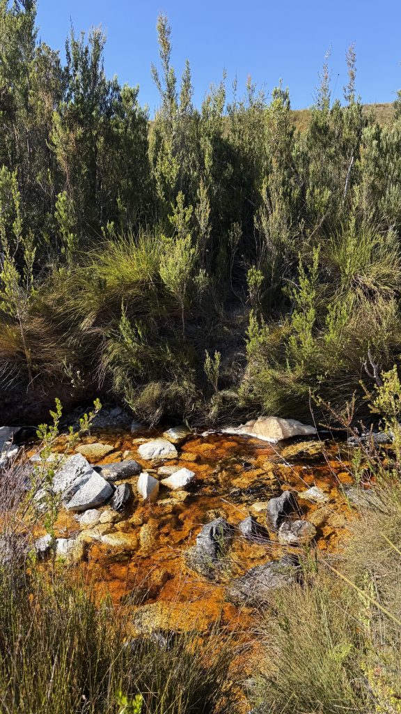
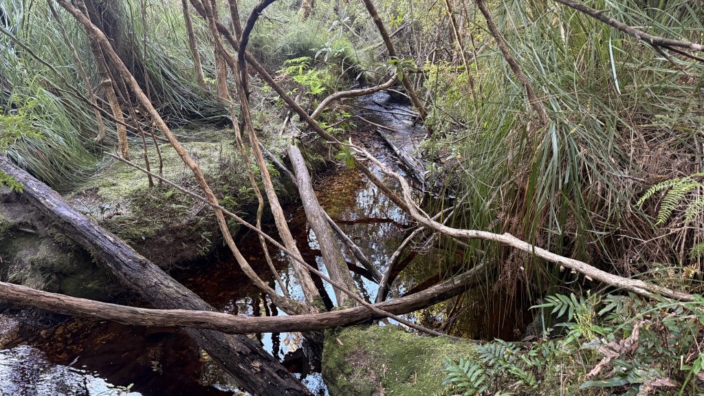
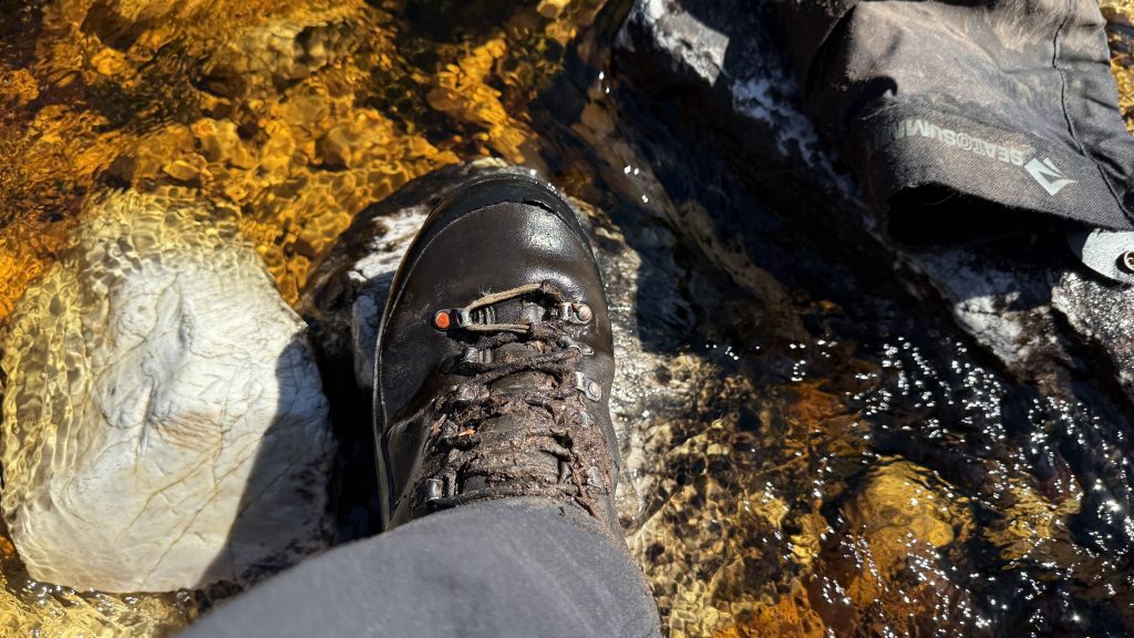
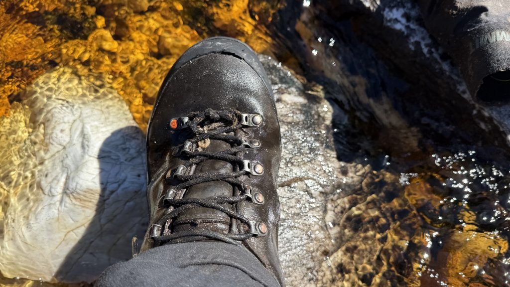
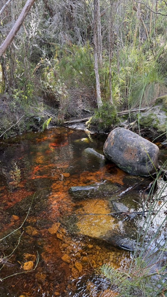
I stop by a creek to filter some water and have morning tea, and notice I’ve suffered a near-catastrophic shoelace failure. Luckily with my extensive knowledge of knotwork, I am able to fashion a repair.
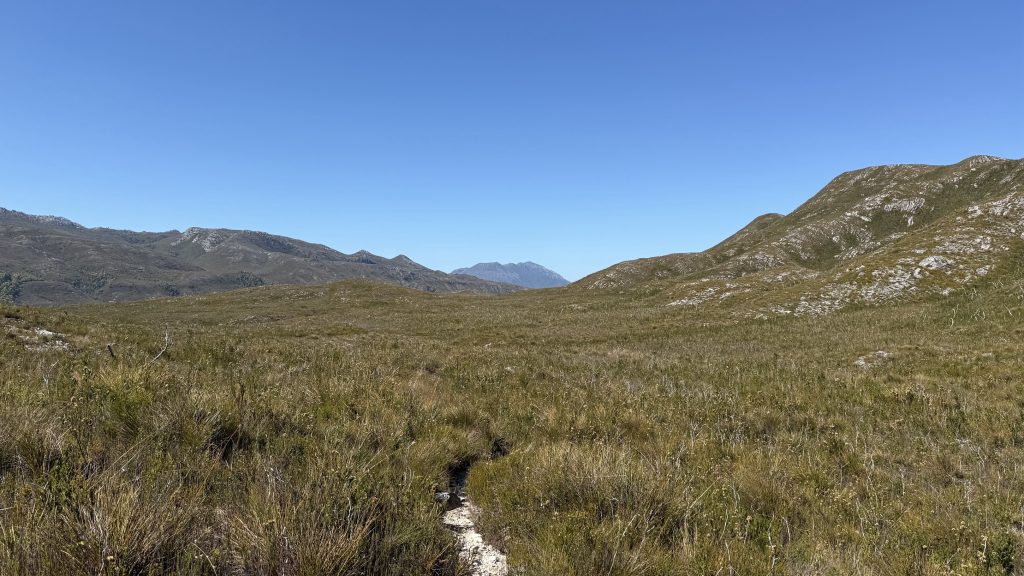
The Lost World Plateau lives up to exactly none of the parts of its name. It’s more like rolling hills, and a brontosaurus would look more at home anywhere else I’ve walked in this trip (the fact that the brontosaurus never existed is inconsequential. For more information, read about “the bone wars”)
I get the impression that the Port Davey Track is either quite muddy or extremely muddy, depending on the recent rainfall. Those who wear trail runners; lace them tight if you want to leave with the same number of shoes you entered with. The muddy bits sap your energy even more than walking on sand. Sand doesn’t try to suck your shoes off your feet.
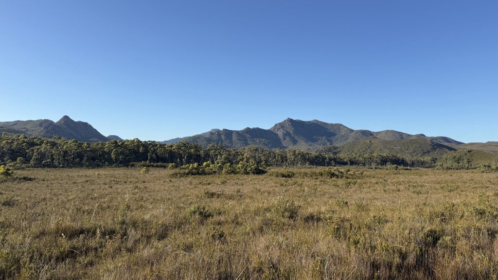
Mount Rugby. The Narrows is just below it and to the right. I can hear the whine of a light aircraft engine in the distance.
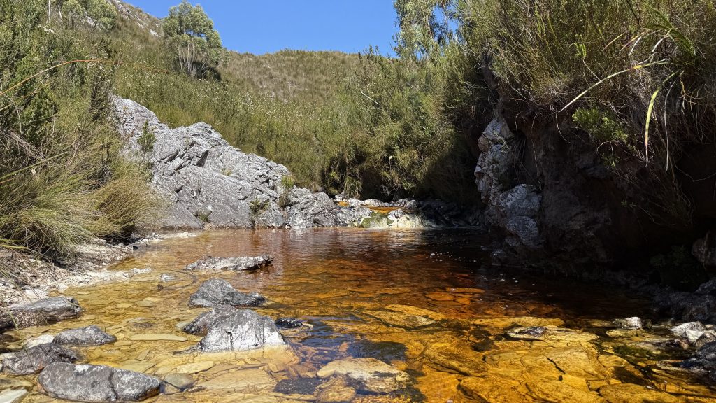
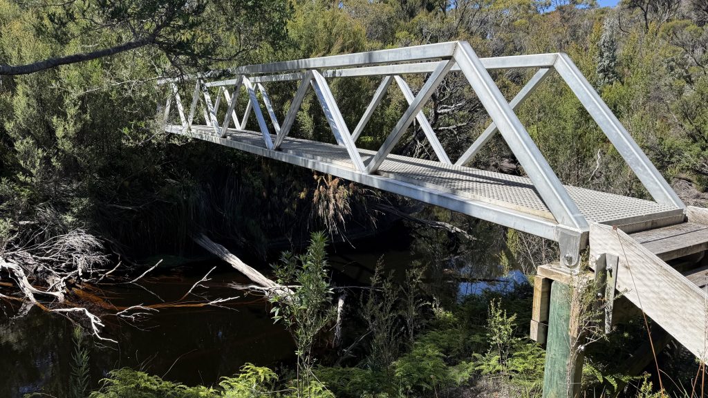
I stop for a late lunch and to air my feet at Spring River campsite. There’s a bridge set high above the river; welcome indeed, but an oddity on this track that shows very little sign of clearing or hardening. The campsite before the bridge is nice. Chapman says there’s a better one on the far side, but I found no sign of it, just a game of pick up sticks and dodge-tree before the buttongrass.
Yesterday I saw no distinct footprints. Somewhere after Spring River I started to see a set, maybe only a day or two old. Curiously though they seem to be going in both directions. Would somebody walk to Spring River from Melaleuca and back? Maybe they had to return for some reason. The mind boggles with the mystery afoot! (Heh. Afoot.)
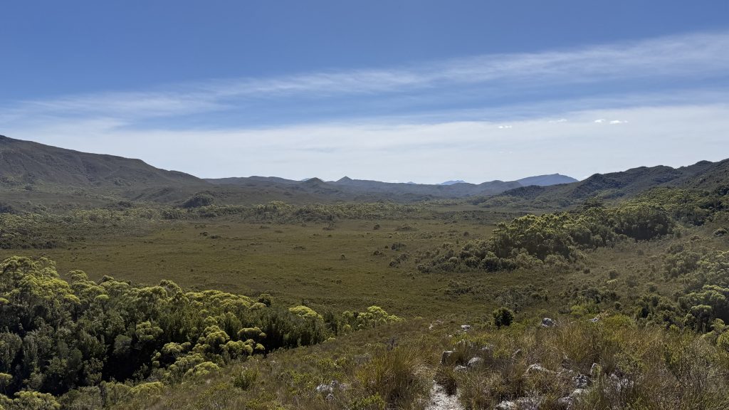
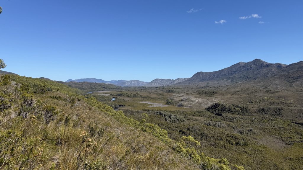
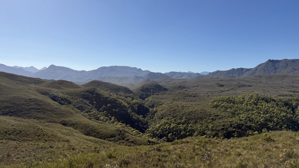
From Spring River the trail stops contouring the hills and takes a more direct route along a shallow ridge of small hills. Bathurst Harbour begins to show itself in the distance, and the landscape is at last changing.
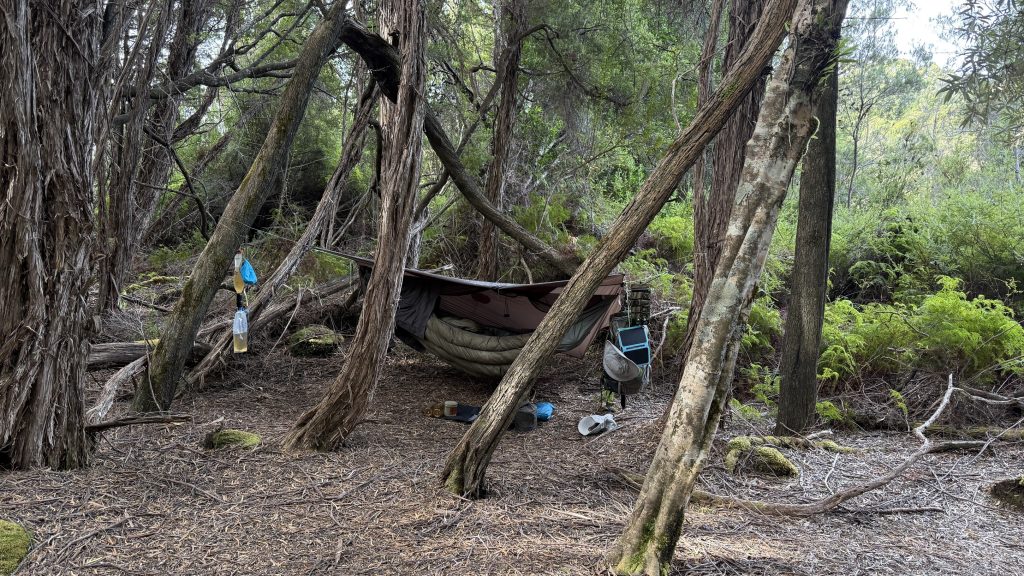
I finally reach Forest Camp after 23 long kilometres. But I forgot to check the water situation, and after dropping my pack have to walk another 200m down to the creek and back again. It may not sound like much, but at the end of a long day it’s a lot.
Set up camp. Filter water. Message home. Cook dinner. Flick away leeches. The same old story. My mum messages me and asks jokingly if it’s too early to be talking about Te Araroa. Funny timing, given the musing I’ve been doing on it while walking today. It’s certainly living in my head the way the AAWT was before I walked it. The way the Tassie Traverse was. It exists in the same space as the the American long trails; the Appalachian Trail, the Pacific Crest Trail and the Central Divide Trail, but with the massive benefit of being in New Zealand instead of America.
My average speed both yesterday and today was about 3km/hr. And I feel like I was pushing pretty hard to achieve that.
One more day of the Port Davey. Tomorrow night I’ll be in Melaleuca and sitting out the next day’s rain with a well-earned rest day. But first I have to cross The Narrows.
Please imagine dramatic music playing now.