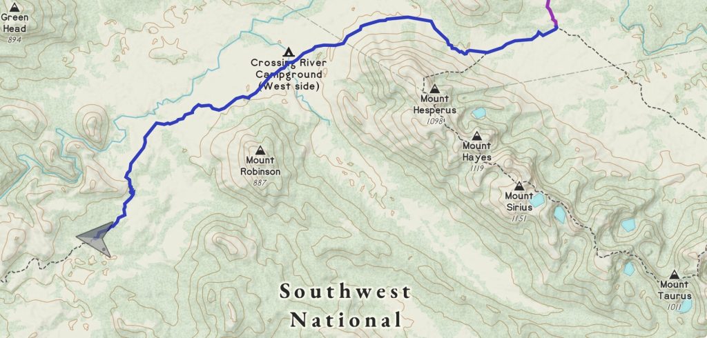
Distance: 22km
Elevation: +500m
Time: 8:00
Total Distance: 496km
Music: Heilung – Nesso
Hiking is not for everyone. Notice the wilderness is mostly empty.
Sonja Yoerg
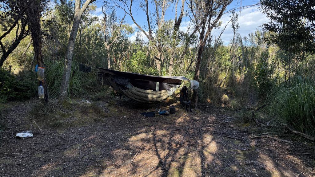
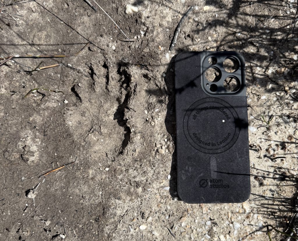
A cold morning. My watch claims a low of 4°, 7° at time of writing, but it feels colder. There was scampering last night, and tiny hopping. Perhaps bettongs? Maybe a quoll?
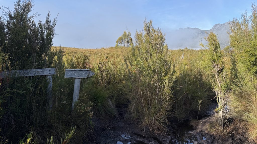
The Port Davey track is shrouded in mystery. Some say it’s an old Aboriginal trail, others that it connected Junction Creek to Settlement Point, or that it was cut in 1898 by Edward Marsden as an escape route for shipwrecked sailors. Still others refer to it as the “Port Davey Suggestion” and dispute that it even exists at all.
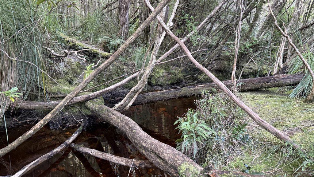
From Junction ck there are some sections of mud, but also some boardwalk. One can’t help but feel that a tiny portion of the funds allocated to the glamping trails Tas Parks are building would be better served hardening this track, considering how popular it is and how heavily the foot traffic is impacting it.
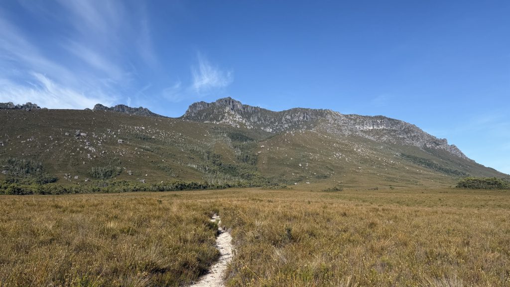
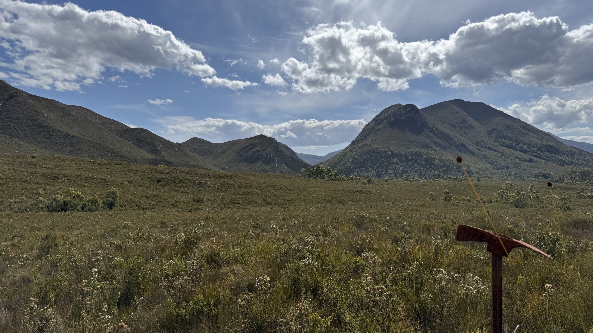
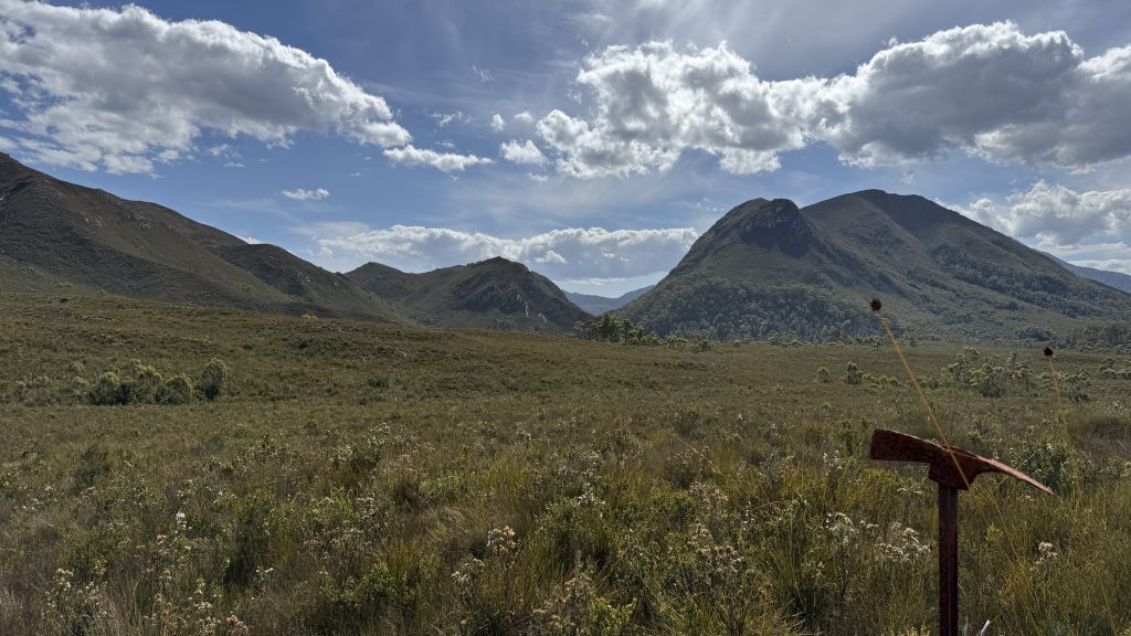
Deceiving. That last photo is an 800m climb up Mt Hesperus, though it looks no taller than Black Mountain (200-300m climb)
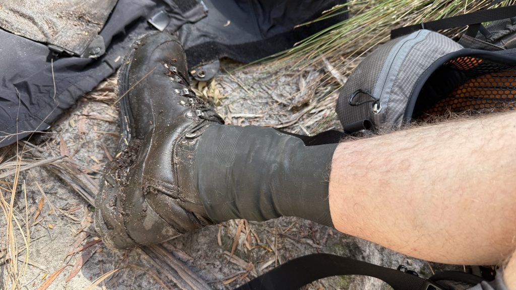
I’m starting to learn how to read the different types of mud. There’s the sandy, clayish mud, rarely more than a centimetre deep, though sometimes surprising. There’s the thick, dryish mud the consistency of play dough, easily weight-bearing. There’s the mud with distinct footprints in it; a decent sign that you can stand there. There’s the mud that sits under a few inches of tannin-stained water; almost certainly a bad time. Then there’s the mud that looks okay, but has no footprints. That’s because it’s the consistency of gravy and won’t hold an impression. That’s a trap.
They say the Inuit have twelve thousand words for snow. I wonder how many the Tasmanian Aborigines had for mud?
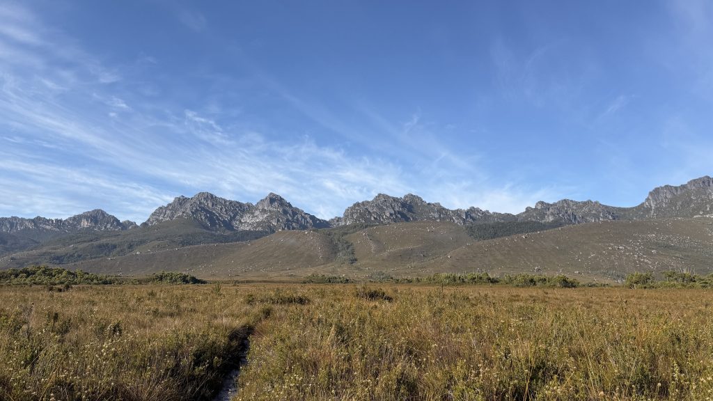
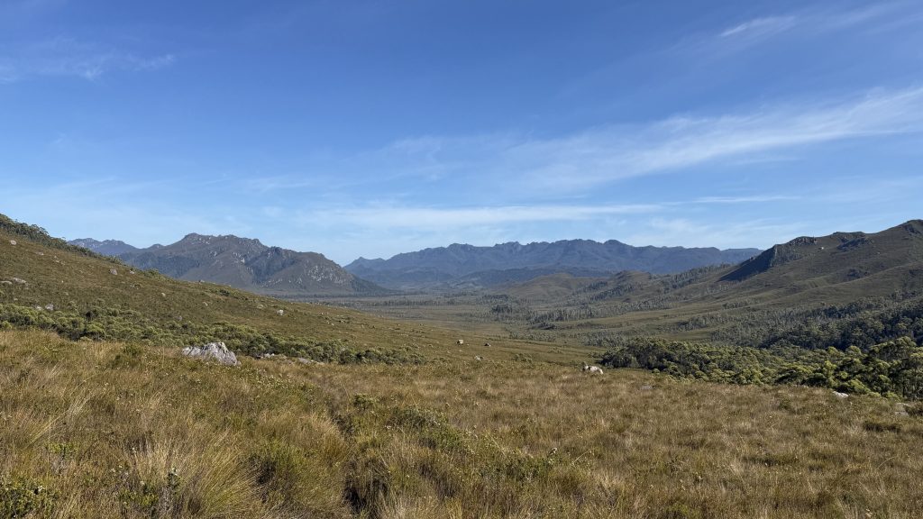
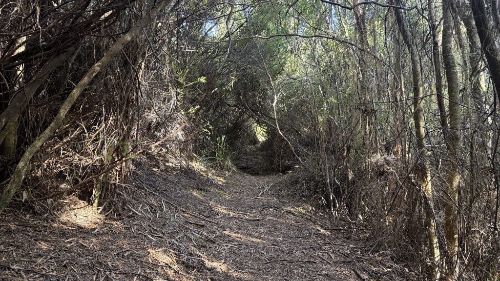
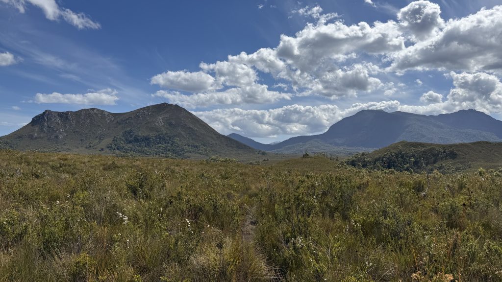
The day is warming up. The sky is blue and clear. For the most part the track is open and easy, with only intermittent bits of mud, not as dire as the section to the Arthurs, presumably on account of not being so heavily churned, and the occasional bit of swimming through dense scrubby tea tree. The track winds its way along the foothills above the valley. Crickets chirp in the buttongrass.
I’m starting to feel buoyed by the fine weather and being finally off the roads. My despondency about skipping the Anne circuit is fading to a twinge. I’m walking past the Arthurs, but I can come back another time and do these walks. I’m walking across Tasmania, and it’s amazing. (I may have shouted these words into the bush occasionally in the last few weeks when nobody was around).
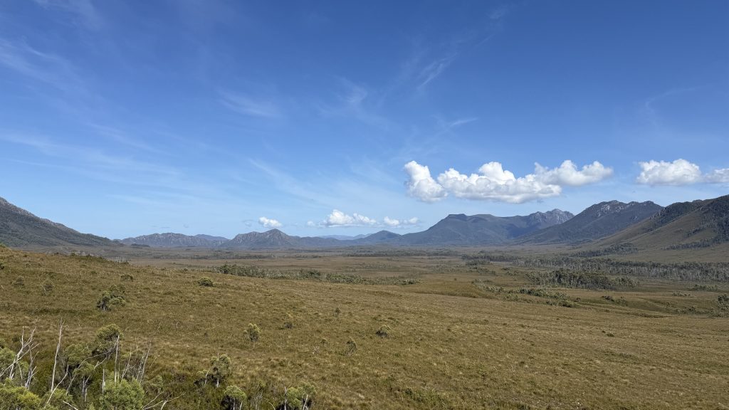
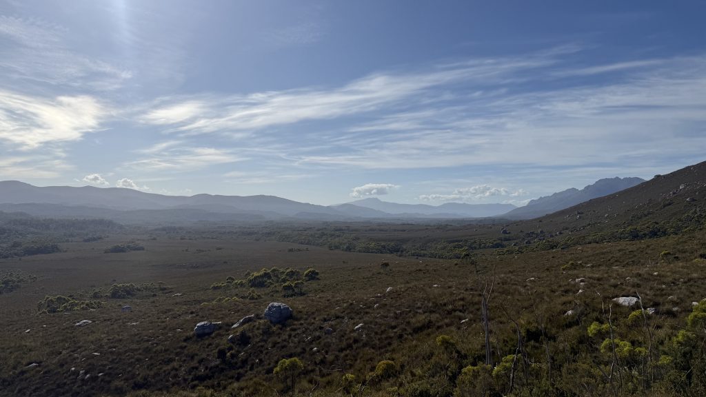
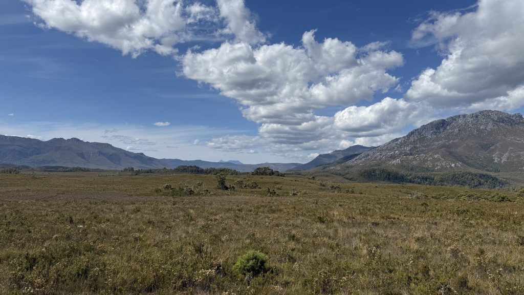
The broad valley of the Crossing Plains spreads like a scene from some lost world adventure, ringed by mute guardian mountains. Despite the mud, I haven’t seen a distinct footprint since leaving the junction. I’m probably the only person in the 60km stretch between Junction ck and Melaleuca.
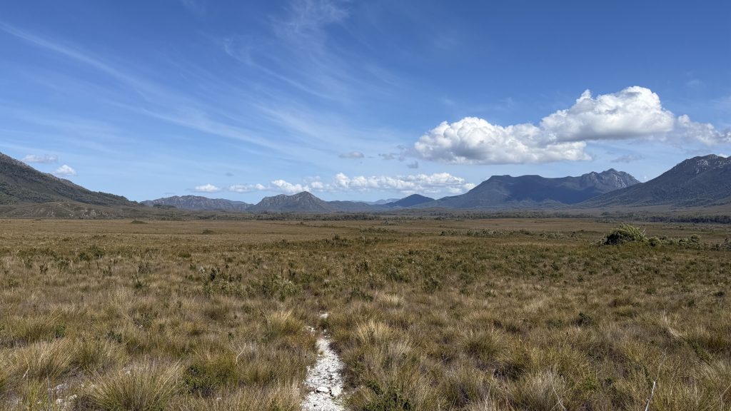
It’s just crickets slowly chirping and the soft wind in the grass.
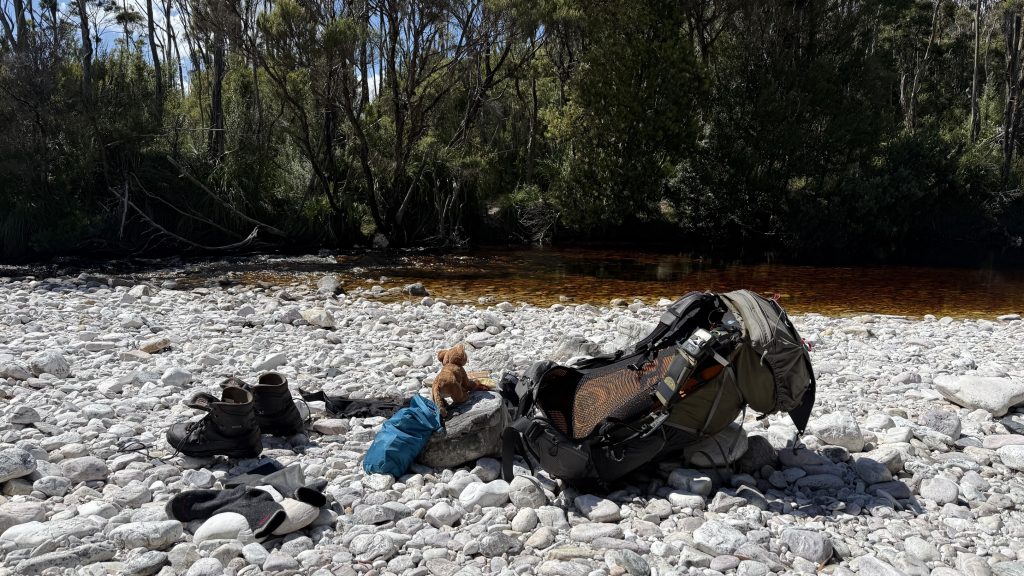
I deploy my crossing gaiters to wade Crossing River. They don’t keep 100% of the water out, but they make the difference between damp ankles and completely sodden footwear. Today it’s a picturesque tea-brown stream bubbling merrily along, but the bare white rocks belie how often it must get high. On the far side I have a little wash, put my socks in the sun, and settle in for a leisurely lunch.
I press on. I want to do another ten kilometres before I stop for the day. It’s fairly arduous walking for a clearly worn track, putting me somewhat in mind of the Penguin Cradle Trail.
With the number of times these buttongrass heads have poked me in the face, under my glasses or up my nose, I sure am glad they have these safety tips on them!
I lose the track at one point, following a false lead downwards to nowhere. It’s a pretty difficult fight to bash my way back up to the trail. The impressions in the scrub tell me this is a common occurrence.
By the time I get to Watershed camp I’m pretty wrecked. It was a flat day on trail, and for the most part the path is obvious, requiring almost no navigation and only occasional pathfinding skills. But it’s rough and uneven, very often muddy, occasionally scrubby. Very often the surface you’re walking on is invisible beneath low scrub, so you can’t get a decent pace up lest you miss your footing. But it’s obviously a decently well walked route, and there’s no danger of it being reclaimed by the bush through lack of traffic.
I do a little laundry while the day is still warm, though the sun is disappearing behind the trees. I cook “tuna mornay” for dinner and enjoy another of the cherry liqueur chocolates from yesterday’s resupply. I’m not exactly hungry all the time, but the body needs food and will take anything it can get. If I time things right I’ll have some time in Melaleuca in the hikers’ shelter there, sitting out some rain with a surplus of food to work my way through.
As with every night, after dinner I lie in bed, reading over Chapman’s notes for the section I plan to walk tomorrow and cross-referencing with the map. Ideally I’d like to cover the 29km to Farrell Point, the tip of the northern peninsula that makes up half of the narrows, and the site of the 300m boat crossing. Though given today’s effort, I’m fairly doubtful of making it that far, and the water situation is apparently inconsistent. Good as my filter is, I don’t think it can turn brackish water from the harbour into drinkable water. I’ll make it at least as far as Spring River campsite and reassess.