Distance: 28km
Elevation: +900m
Time: 9:40
Total Distance: 419km
Music: Faith and the Muse – Shattered in Aspect
It’s time to let go
Time to spend some time alone
Reconsider what could be done
Unbind the imaginationFaith and the Muse – Shattered in Aspect
In yesterday’s scrub I lost one of my usb cables; the one connecting the solar panel on top of my pack to the power bank in the top pocket. I hadn’t bothered to plug it into the power bank, since the day was going to be cloudy and in forest. I nearly lost my hat; crawling on my belly under a fallen tree, I felt something hit my leg and looked back to see that it had been wrenched loose from where it was strapped to the outside of my pack. That was lucky, but careless. So I went to sleep feeling annoyed with myself. I still had one cable, but my backup was gone. It was the first thing I’d lost through carelessness on the walk.
But this morning, there the power cable is, inexplicably, dangling from the pocket zipper by a little bit of friction! Today is looking up!
Every morning it’s taking my knee about twenty minutes of walking to warm up, and after that it’s okay. I know I keep talking about my knee and not mentioning the head wound. Well, my head ended up falling off, but thankfully by the time that happened, a second one had started to grow. Must be something in the water down here.
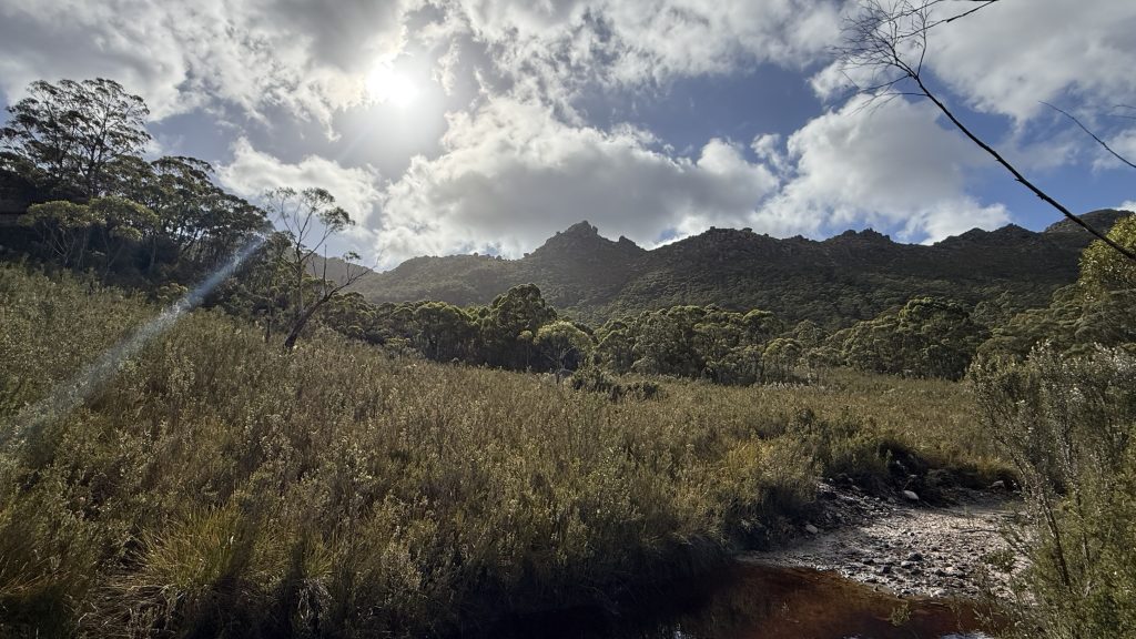
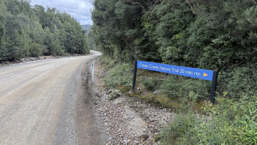
Walking out of Adamsfield in the morning light, the telltale mining ghost town signs are visible; old cuts and earthworks in the leaf-littered soil. Some where buildings were, others likely mining claims. The air is fragrant with yesterday’s rain on the vegetation.

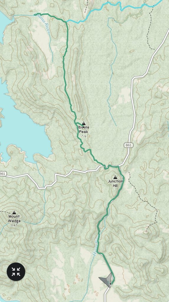
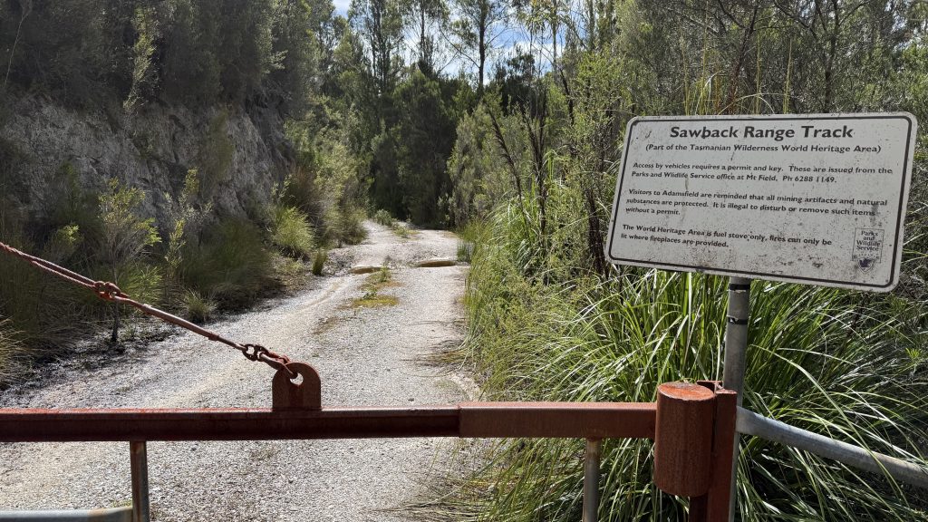
I follow the Saw Back track south as it parallels the Saw Back range. The bony crag of Stacey Lookout watching over everything.
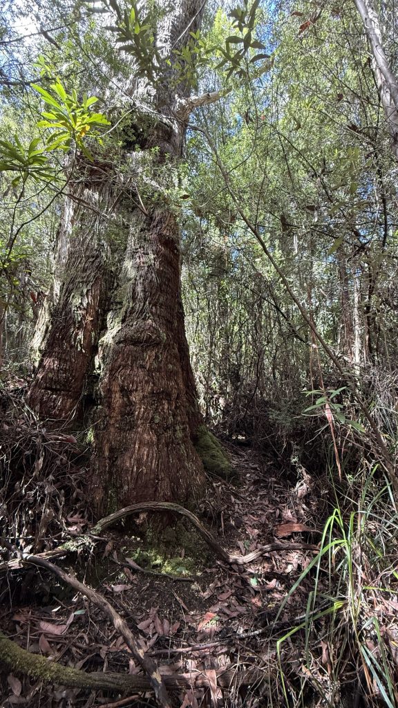
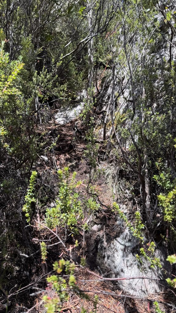
I decide to attempt a side trip to climb Ibsen’s peak. A small cairn marks the start of the track, which is flagged and mostly distinct, if only because it’s the only route through the encroaching and impenetrable scrub. Some places it widens, others it closes in and I’m swimming in damp brush. I can’t help but wonder what strange alloy the men and women who blazed these trails were forged of.
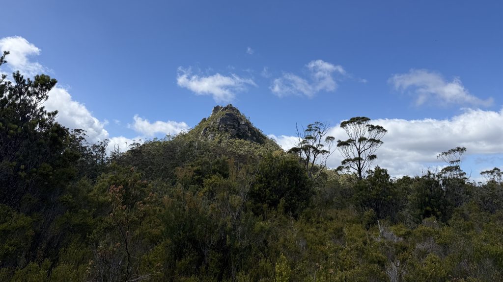
The trail steepens into a climb, though still in scrub. You know you’re doing something interesting when there’s a fixed rope in place.
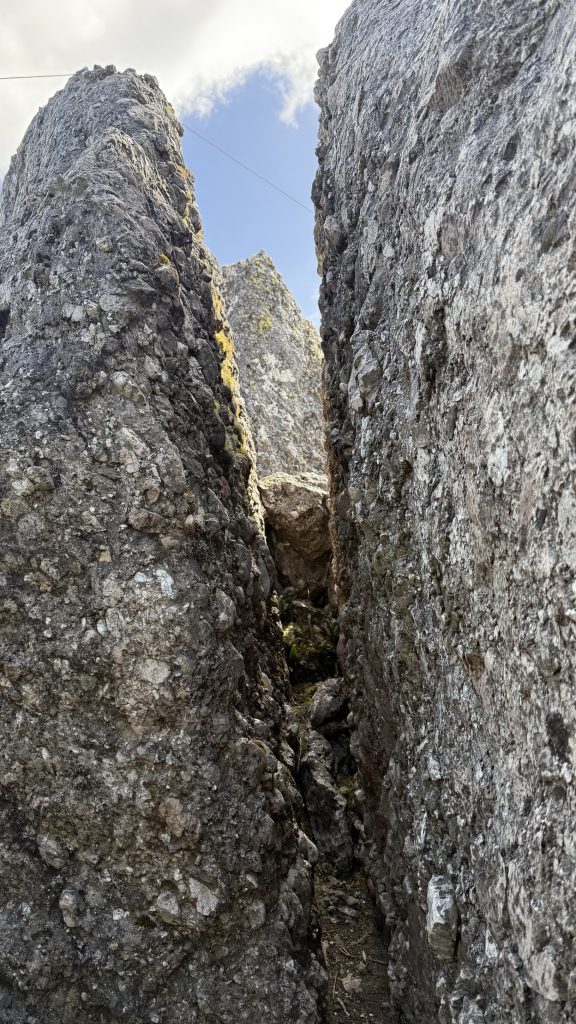
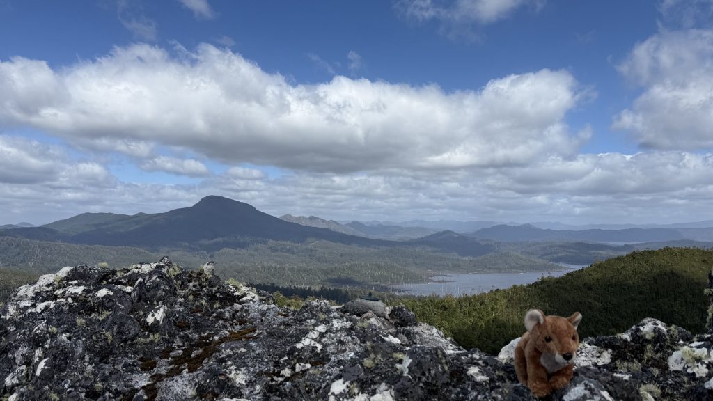
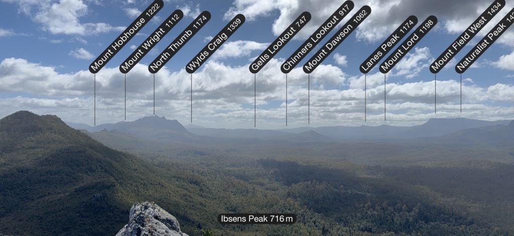
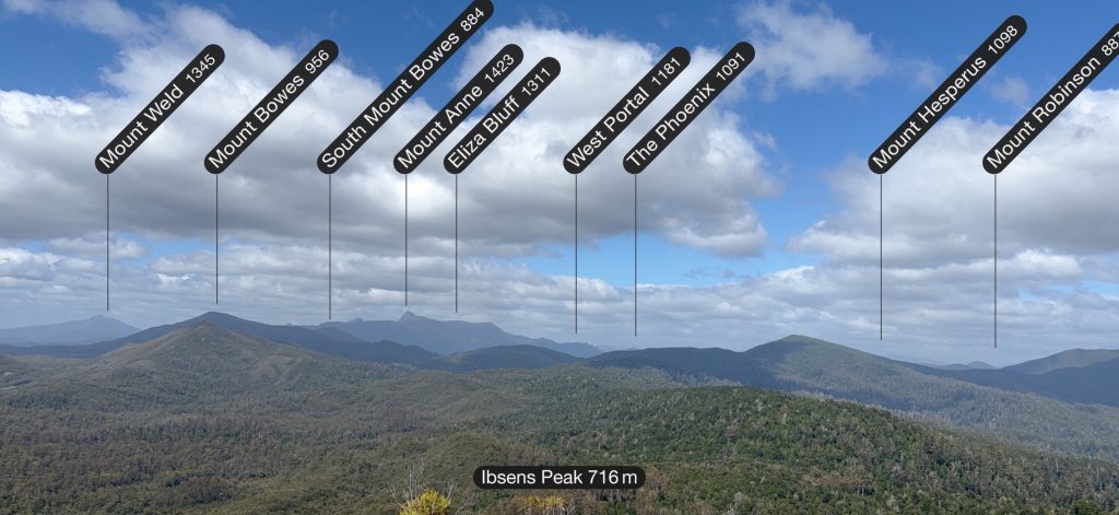
A few technical scrambles and a squeeze through a fissure while trying not to think of what would happen if the earth decided to shiver at that moment, and I’m on top. I can see the Ragged Basin of lake Gordon, Mount Anne and in the hazy distance, parts of the Arthurs. No phone reception though, so blog uploads will have to wait until Mount Anne at the soonest.
Mum, can we have mountains?
We have mountains at home.
[Insert picture of Mt Bimberi]Then it’s back out of the scrub and flying down the 4×4 track again. last night’s deluge has filled every rutted out bog hole to the brim, and I’m constantly skirting, hop-skip-and-jumping them.
Then it’s 1.5km of bitumen on the Gordon River Road. I cross the Florentine for the last time, though I can only hear it rushing through the culvert far below.
When I reach the place where my food drop is hidden, it’s location isn’t immediately obvious. But turning airplane mode off and using the Find My app on my phone, I’m quickly able to home in on it in the scrub. I don’t even have to take a step off the road to reach it, but it’s invisible. Well done, Rohan from TWE.
I spread my rain coat on the ground like a picnic blanket, upend my bucket onto it, then sit on the bucket to survey my goodies. I savour the mango pieces in juice first. It’s the most amazing thing I’ve ever tasted. Then a cherry liqueur. Divine. I save the other two for later.
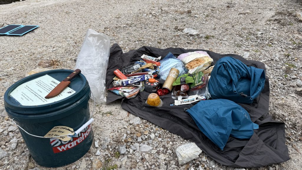
I drink a can of vanilla Coke. Ecstasy.
When I was planning things, I thought I’d camp nearby, but I’ve got ten more km of this road to walk. I’m carrying my Mediterranean savouries with me to have for dinner. The rest I divvy up. Some I pack back into the bucket, unneeded, which I stash back in its place for Rohan to retrieve later. The rest goes in my pack.
My body has become a machine for turning food and water into leg movement and sweat.
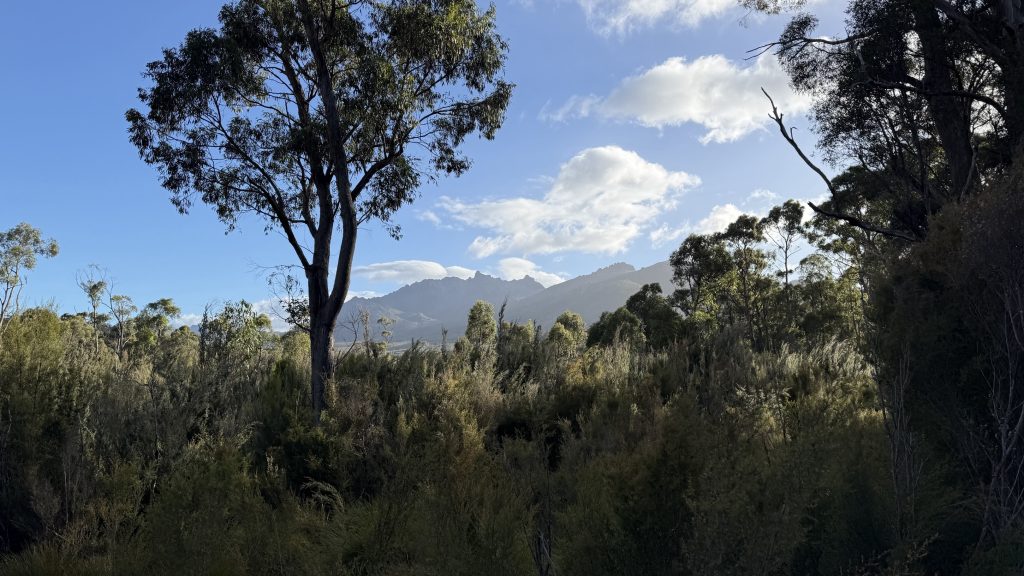
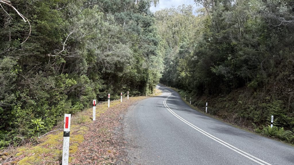
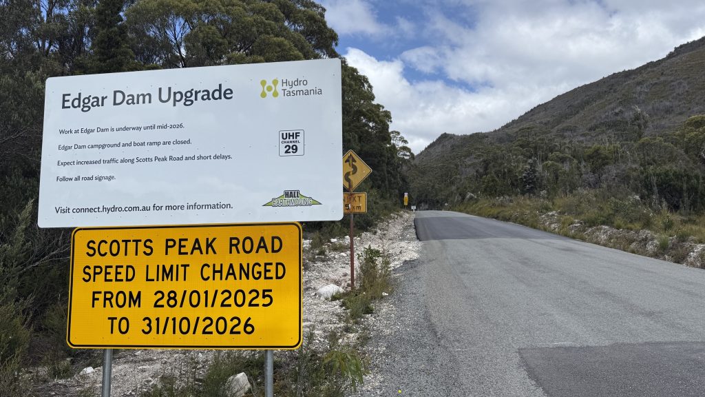
Other than the two truck-and-dogs that speed past in a cloud of dust, first in one direction, then half an hour later in the other, Scotts Peak road is quite a pleasant walk, lined on both sides by dense forest, occasionally parting to reveal a glimpse of Mt Anne. Streams burble in small waterfalls by the roadside, wreathed in ferns.
I cross the infant Huon river, inevitably gushing through a culvert beneath the road.
And I walk.
And I walk.
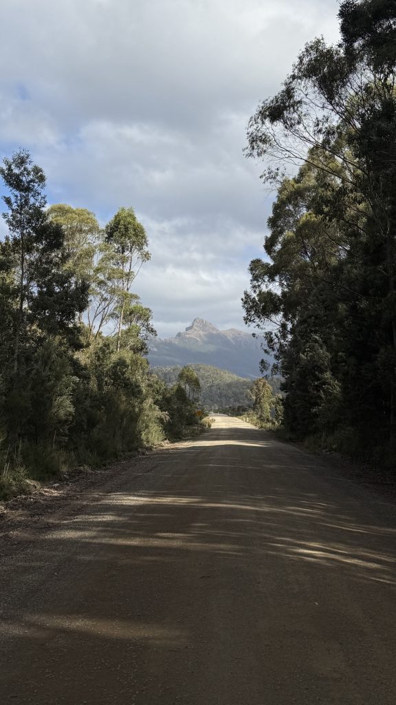
Eventually the trees give way to wide button grass plains, and Anne rises, majestic, before me, utterly commanding the skyline. I have entered The Southwest.
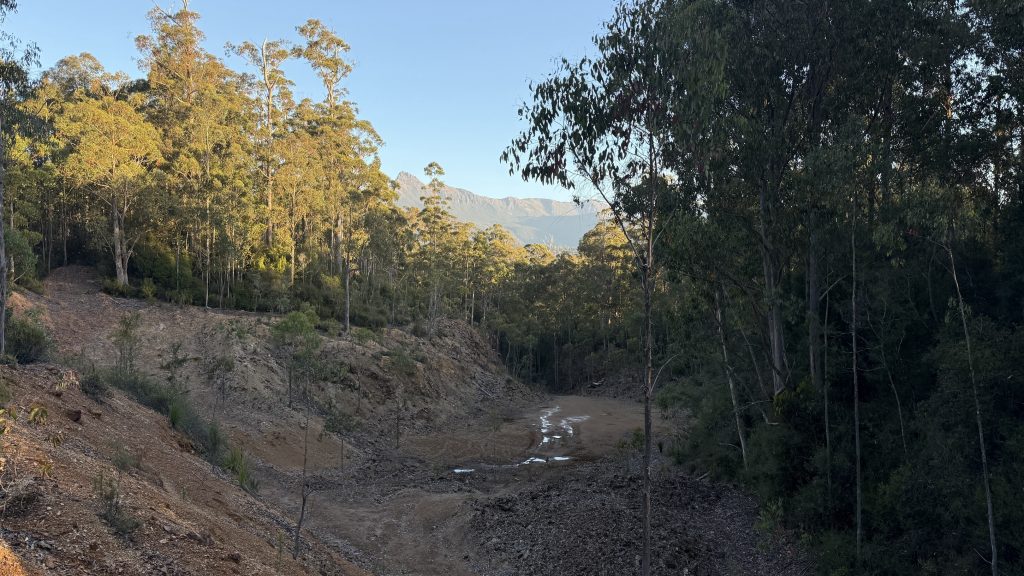
I consider pushing through the extra ten kilometres to Condominium Creek campground at the start of the Mount Anne circuit. It would be a 37km day. I’ve got the legs for it, but not quite the daylight. I make a turn at a spot I’d noticed on the map last night. Woody Island. The satellite imagery showed a bare area ringed by trees. It turns out to be an old quarry site. I guess that explains the name of the watercourse that runs past it; Gelignite Ck. It makes for a nice campsite off the main road, once I carefully sidle the large mosquito infested pool blocking the entrance.
Unsurprisingly the mosquitos are out in force again. I retreat into my hammock and spread my resupply treats out on my lap, but I can’t quite bring myself to dig into them. I’ll have one of my usual dinners, and tomorrow after a short day’s walking I’ll enjoy them at High Camp hut.
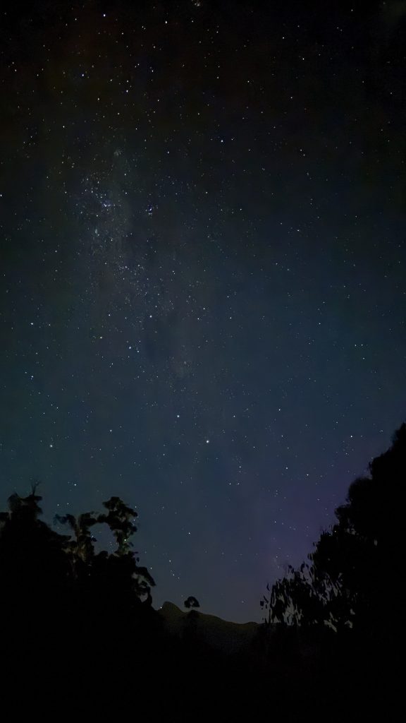
Robyn messages me later with a possible aurora alert. I climb the wall of the quarry in the dark. There’s the faintest smudge of colour on the horizon. The stars are magnificent.