
Distance: 14km
Elevation: +300m
Time: 6:00
Total Distance: 391km
Music: The Devil Makes Three – Forty Days
Never follow someone else’s path. Unless you’re in the woods and you’re lost, and you see a path. By all means, you should follow that.
Ellen DeGeneres
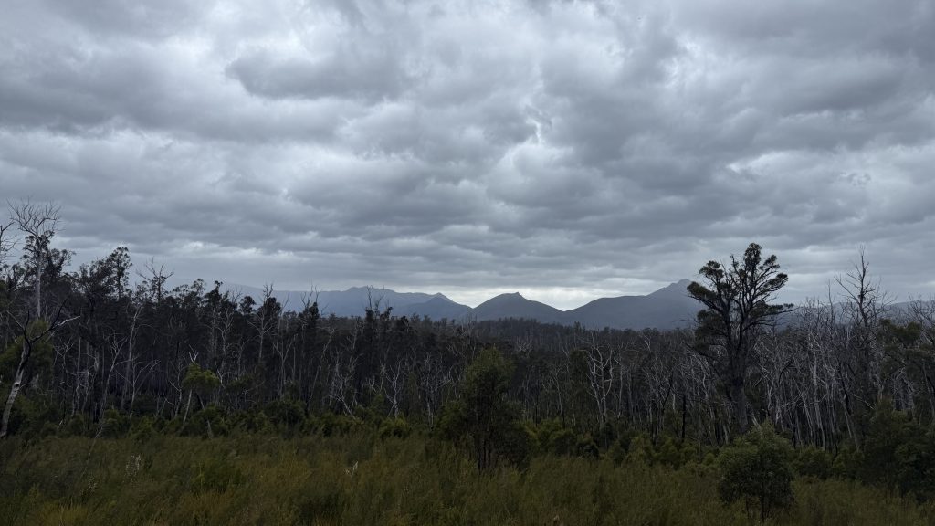
Something large kept banging about in the bush around camp last night. Either Bigfoot, or a ten foot tall wallaby. Though I’m not prepared to rule out the colossal prehistoric wombat diprotodon.
There’s rain coming in this afternoon and evening. Could be a lot of rain. I satellite message home and John, on top of Mount Taylor, tells me the hut at Adamsfield has a veranda. I reckon I’ll make it a short day and head for there. I keep saying I’m going to give my knee a break, and this is the perfect excuse.
A mosquito bites me on the bum while in a compromised position.
PHOTO NOT FOUND
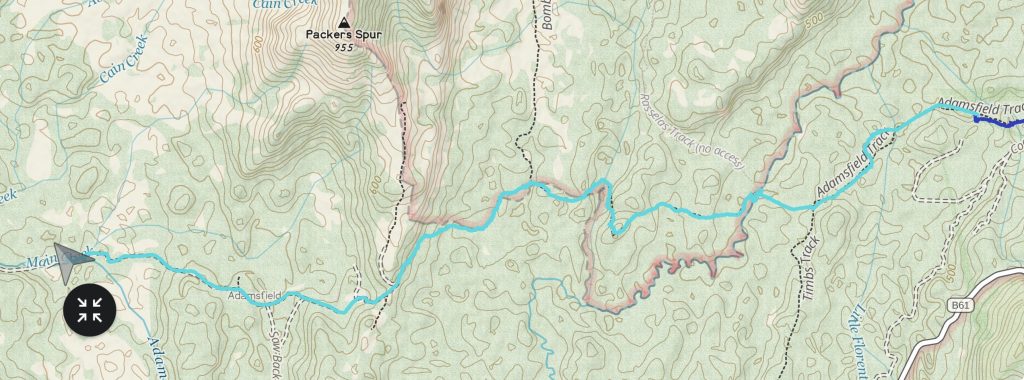
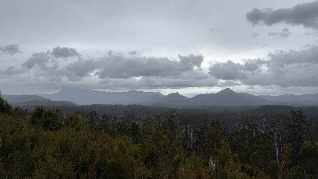
I start again down the track as it cuts its swathe through button grass and open eucalypt. There are tantalising stretches of dozens of meters of clear walking before diving back into scrub and pick-up sticks.
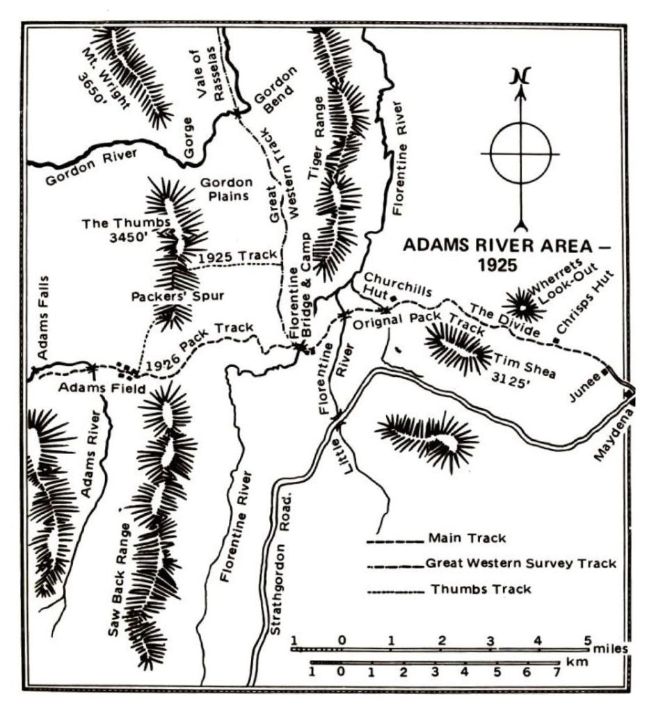
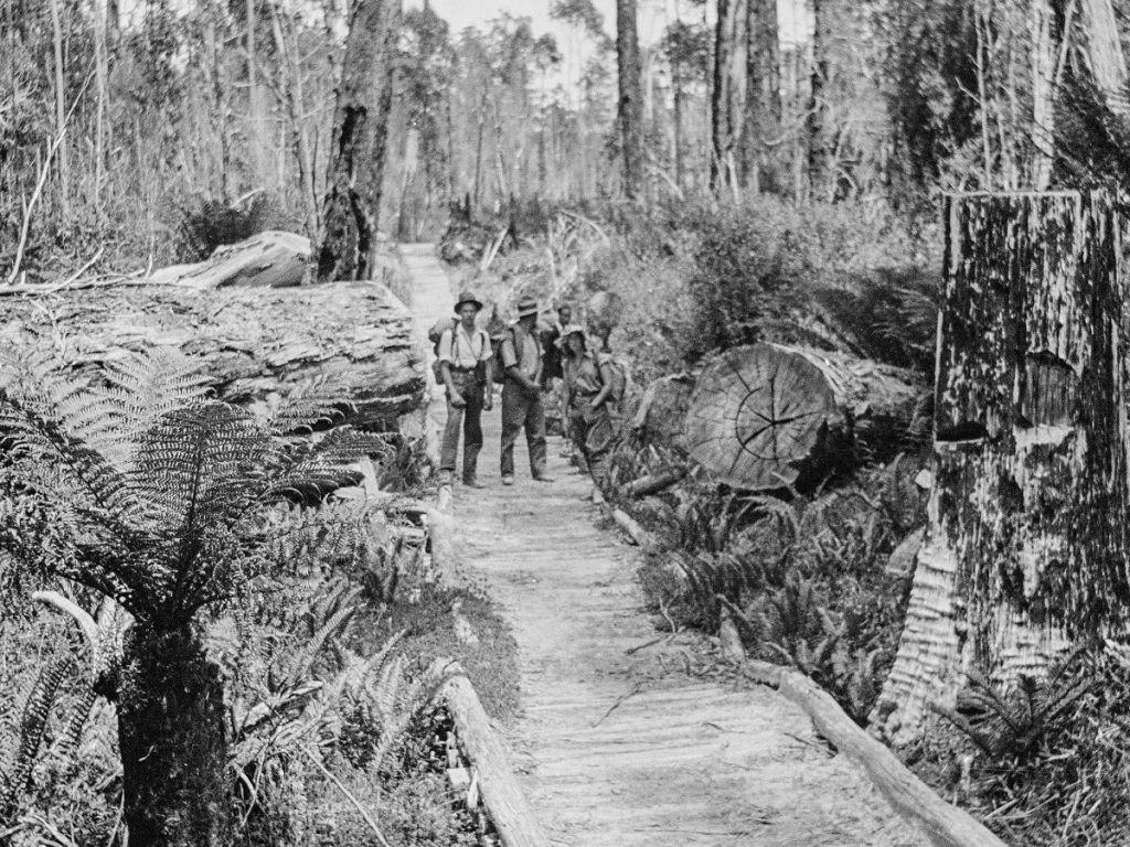
In the sunset of the nineteenth century, a proposal was considered to link Hobart in the state’s southeast with the Mount Lyell mine (west of Derwent Bridge) by rail, through the extension of the existing Derwent Valley line. Connecting the city with the mining wealth of the island’s west, The Great Western Railway would have cut a path up the vale of Rasselas, run alongside the King William Range, then swung west to more-or-less follow the present line of the Lyell Highway. To that end, in the four years to 1901 they spent the equivalent of about 2.5 million dollarydoos and much effort in surveys, clearing, earthworks and building tracks and huts in the area south of the Gordon River.
The scheme languished. In 1908, tasked with investigating the mineral prospects along the proposed rail line, geologist W.H. Twelvetrees found a belt of serpentine (relevant later) but no mineral deposits of note, nor again in 1909, and the rail project was abandoned.
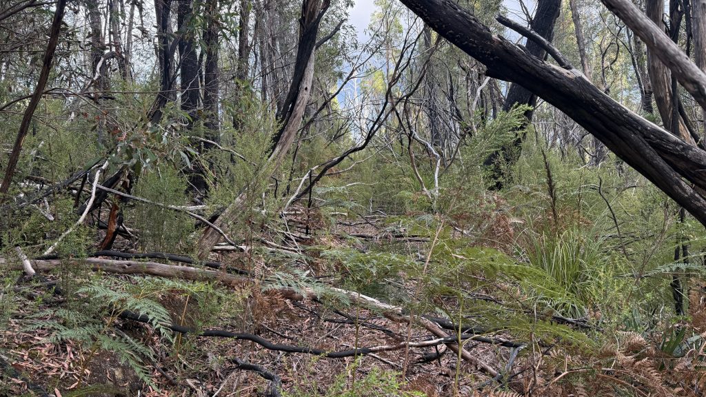
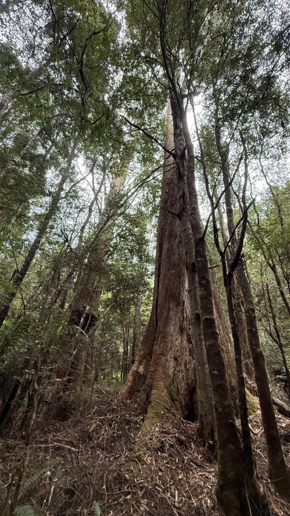
Once the track enters the beech forest, navigation becomes trickier. The route as it’s marked on maps does not closely resemble the historic (and current) path. Some wonderful individual has flagged the trail with pink tape, but the obliterating forest requires constant vigilance. I struggle to find my way at first on approach to the Little Florentine.
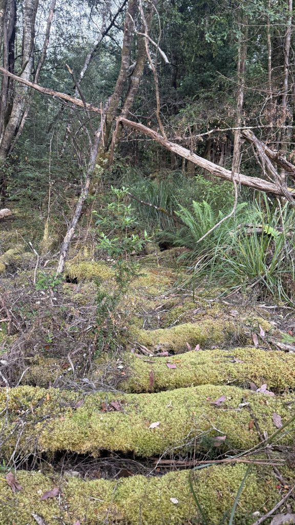
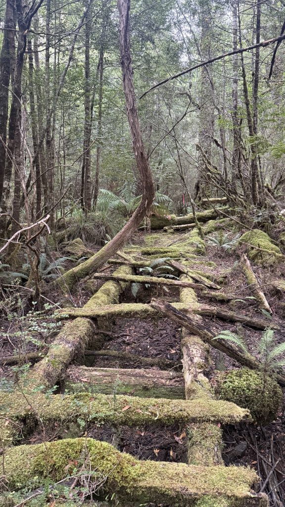
And then there are sections where the cordwood, now rotting and mossy, is still clearly visible and forms an easy path. I start to get the hang of spotting the old track’s passage way.
I’m wearing my gaiters for the first time since the helicopter. Also, does anyone know the nutritional content of spiderweb? Because I’m eating a lot.
Osmiridium is a naturally occurring alloy whose primary use is in the manufacture of fountain pen nibs. It occurs in Adamsfield as granules, which, as far as I can tell, require little processing in order to be used for this purpose. Osmiridium had long been known to Tasmanian gold miners. A similar weight to gold, it would have shown up in the bottom of gold pans in a similar manner to how pieces of lead shot do today. But in 1919 some “stuff“ happened in Russia and the world’s osmiridium supply (from the Ural Mountains) suddenly ceased. Prices soared to seven times more than gold.
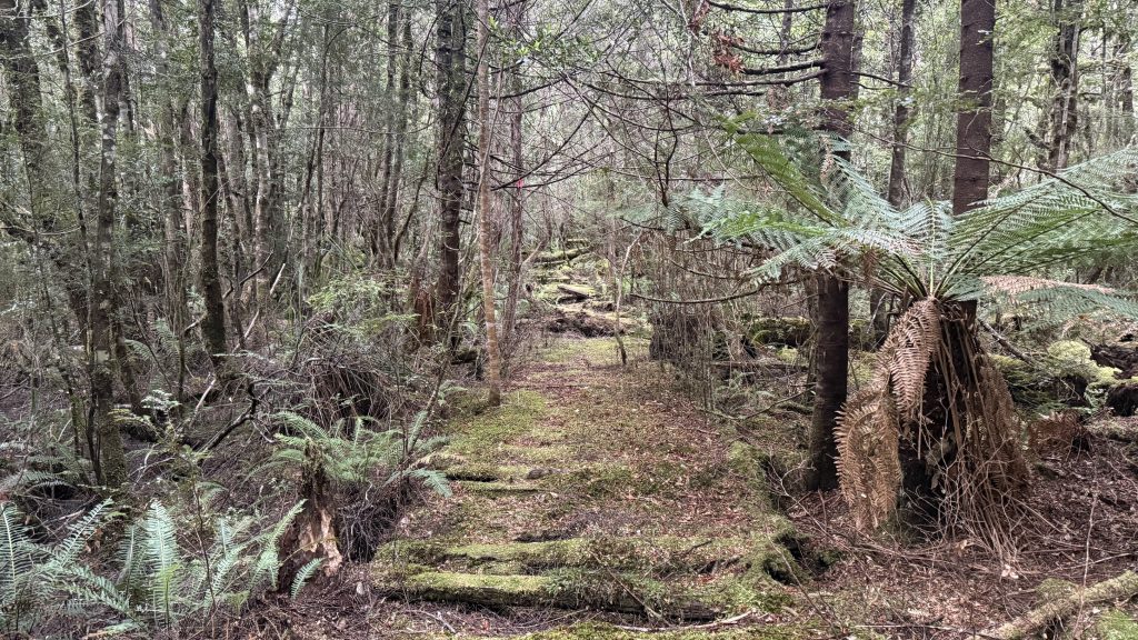
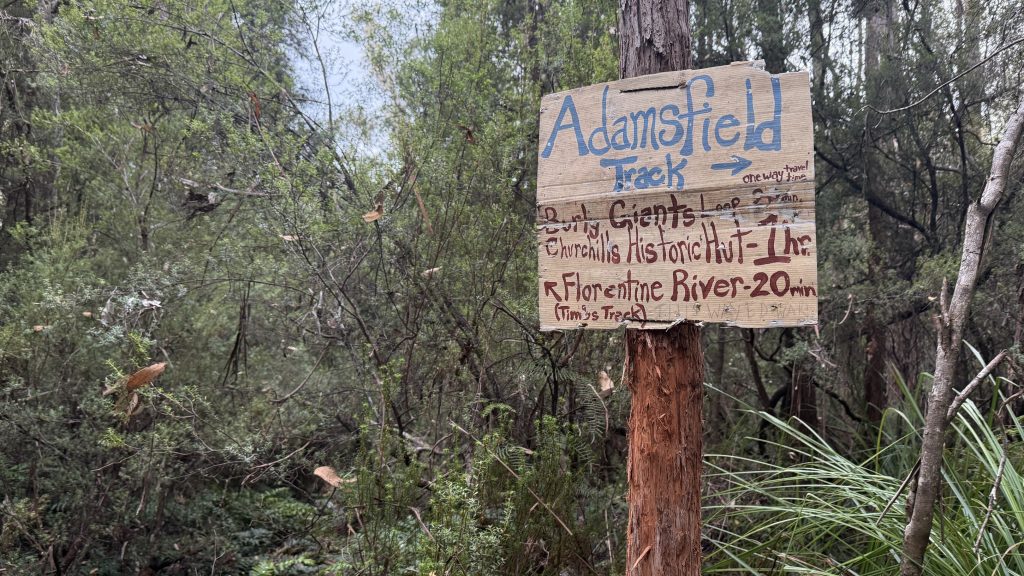
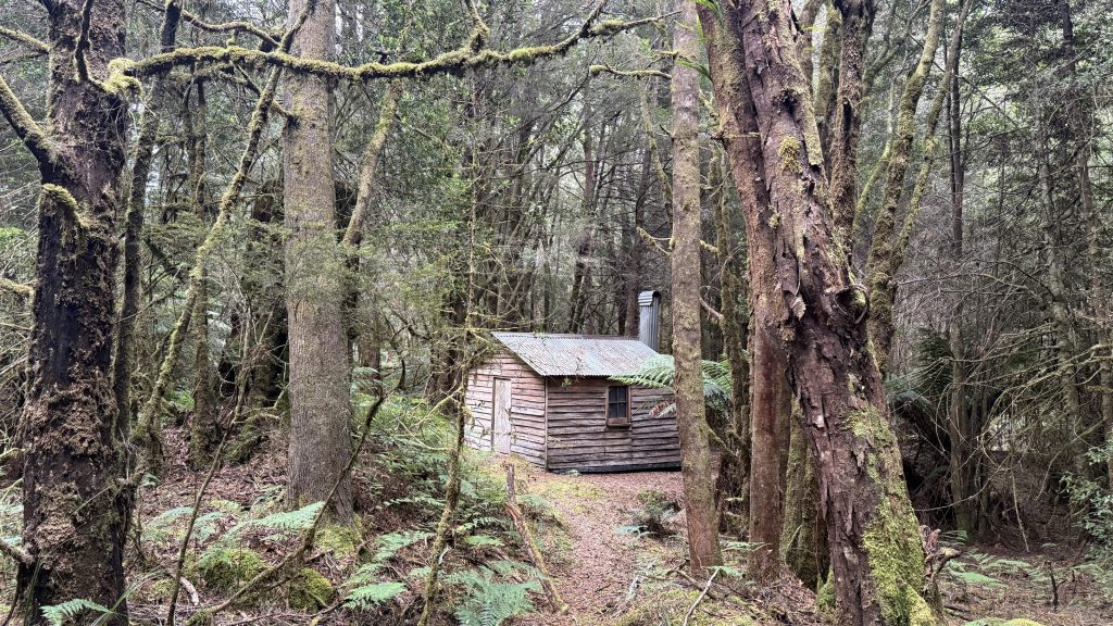
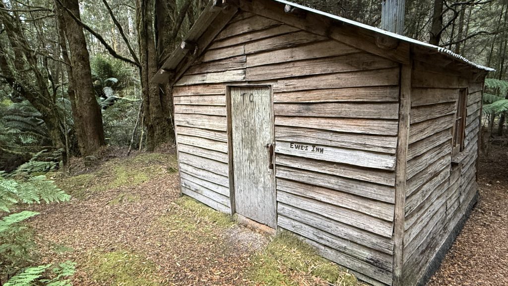
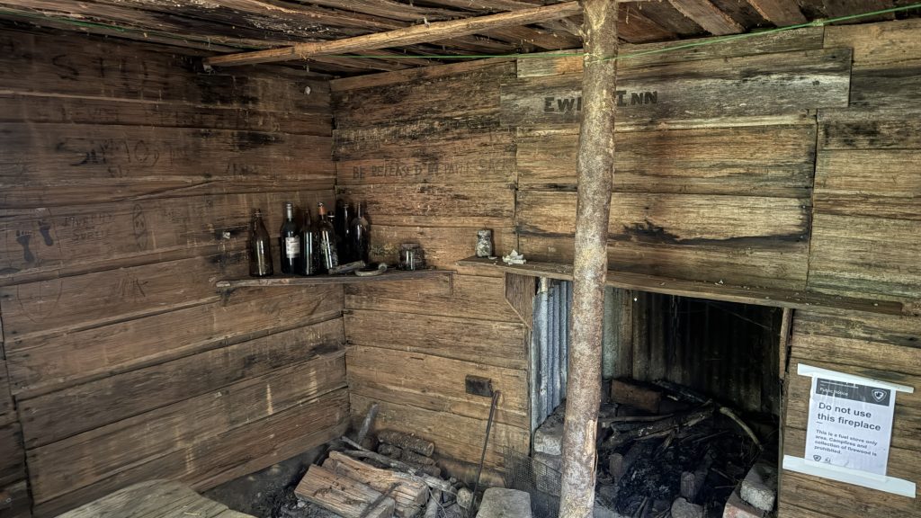
Nearer to Tims Track, the marks of track clearing are apparent, and a hut looms suddenly out of the damp woods.
When in 1920 geologist Alexander McIntosh Reid walked the pack track cut for the Great Western, and when in 1924 a group of prospectors followed him, they were specifically looking for the mineral. “Ossie” miners in other parts of Tasmania were cashing in on the high prices. Reid found the serpentine, which is the host rock, and the prospectors found the ossie.
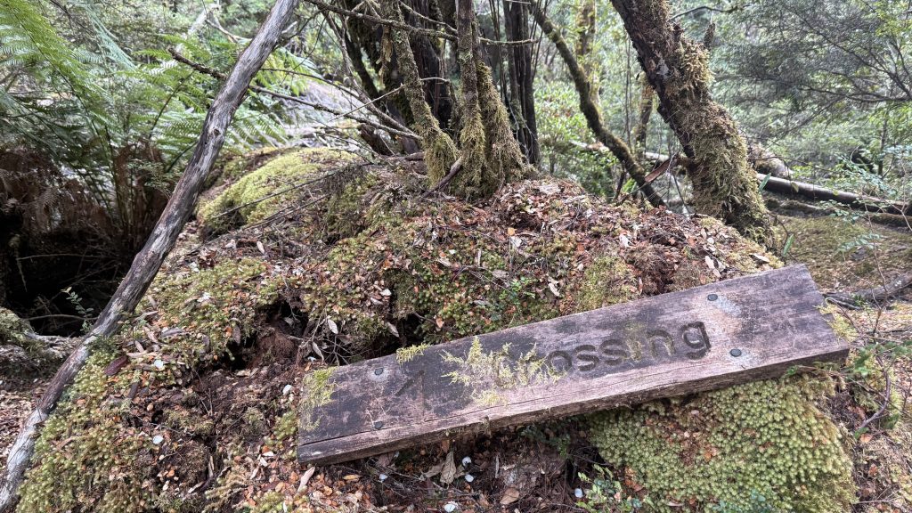
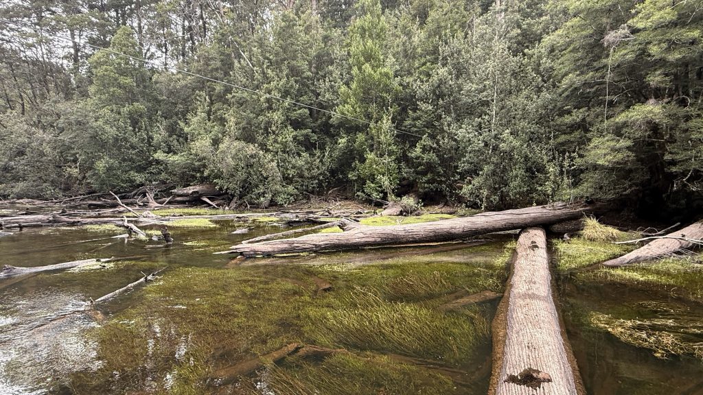
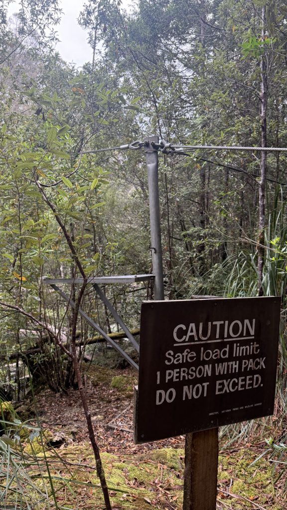
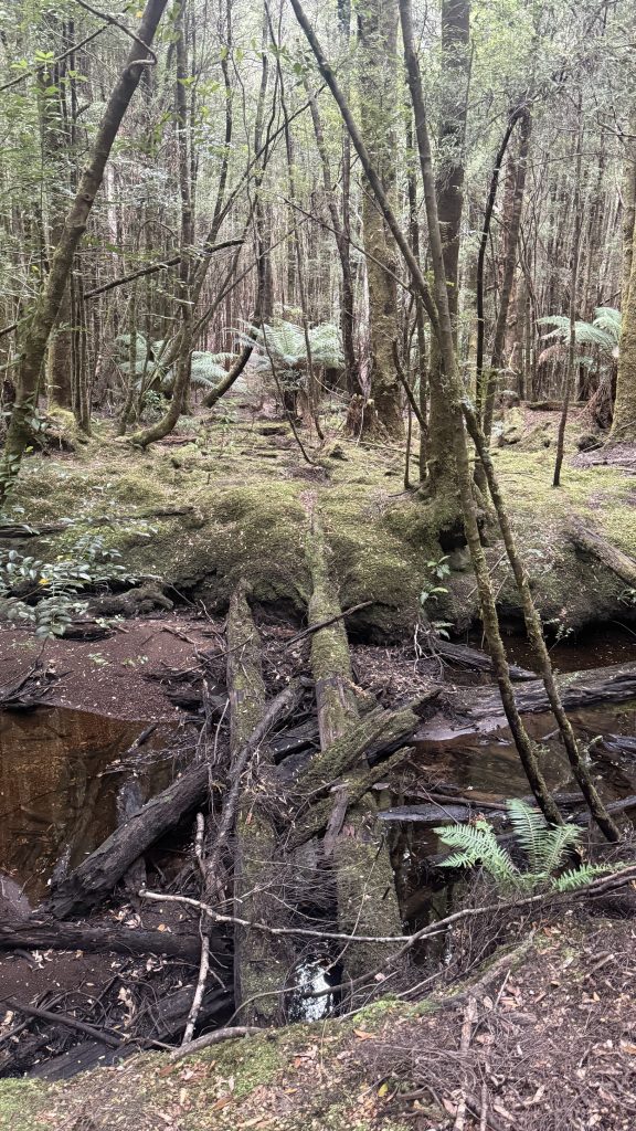
And then I cross the Florentine. Again. I follow the rotting sign marked “crossing”. Attempt one log, then turn back. Eventually I give up looking for an official crossing and pick another log. I’m halfway across when I notice I’m right next to a flying fox wire. I guess these are here for bushwalkers to cross when the river is up. No mention of whether they’re to be used army style or trapeze artist style.
In 1925 the diggers flocked there in droves. It was 48km from Fitzgerald; the nearest town with a train station. Prospective miners walked the Great Western Pack Track, which by now was muddy and overgrown, as far as the unbridged Florentine, then turned north, following a trail that took them steeply up to the shoulder of The Thumbs, then followed Packers Spur down towards Adamsfield. This ridiculously arduous traverse had the effect that transport costs were exorbitant, and so were the prices of all goods brought to the fields.
To ease this, the government paid to upgrade the track to cordwood cut from myrtle beech. Bridges were built across the Florentine and Little Florentine, and a new track cut over the Sawtooth range to avoid the climb over The Thumbs. This done, pack animals could now make the journey.
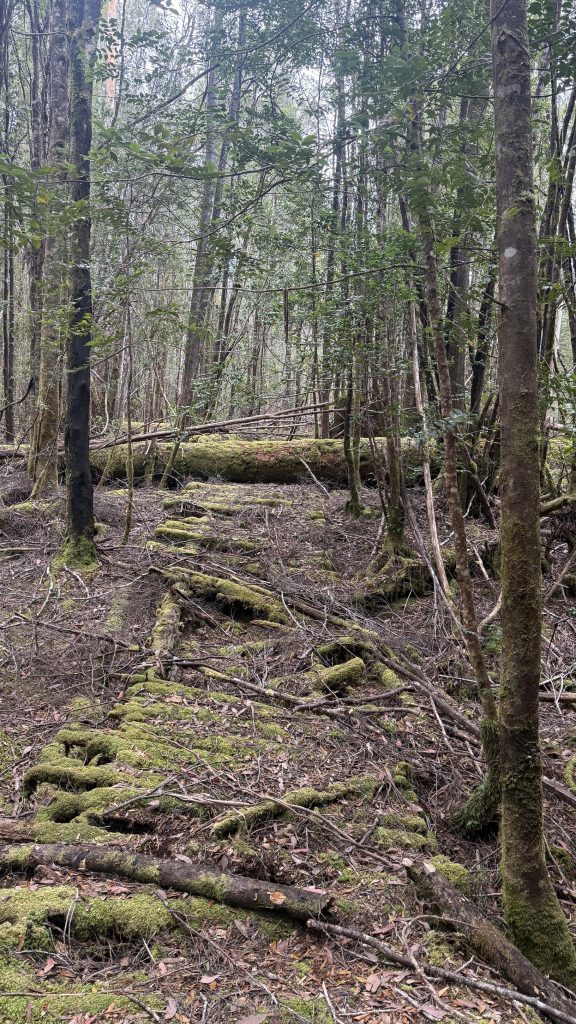
In the first it’s fairly easy to follow the old track when you’re on it, but leave it to go around a section of fallen trees, and finding it again can be fraught. If in doubt, use Mirkwood rules; don’t stray from the path, no matter what you think you see or hear.
Coming out of the forest around McGillan ck, I lose all trace of the track and fight my way across button grass and cutting grass. I trip and fall a couple of times. I pick up something that might be the track, or might be nothing, but it’s going in the right direction.
At its height, Adamsfield had a population of 2,000, and sported a school, police station, hospital, post office, bakery, butchery, general stores, stables, sly grog shops and a community hall.
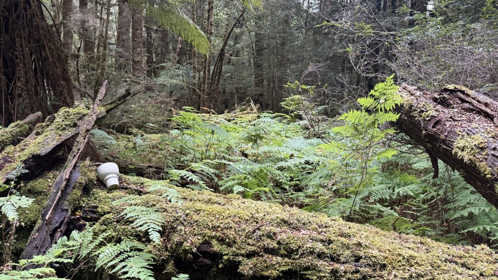

The last two kilometres are nothing but an off-track slog through the scrub, across button grass and through cutting grass. There are flat spots where I guess the track might once have been, but that’s more of historical curiosity than usefulness to the bushwalker. At one point I rest, certain I’m nowhere near where the track must have gone, only to look down and see some of the porcelain insulators they used on the single telephone line.
The new track was finished in early 1926, just in time for the end of the rush. The best claims were played out, and oversupply tanked the price of the precious alloy. Still, some miners remained and eked out a living.
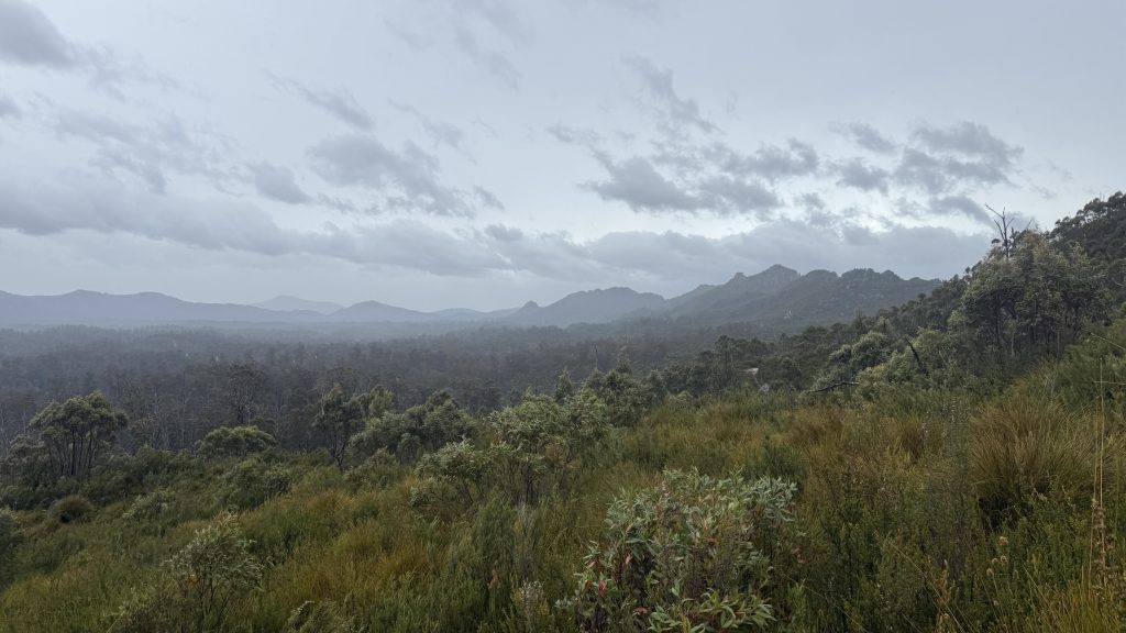
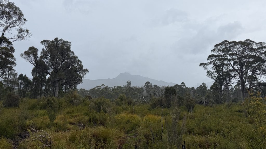
The rain starts in, just a light drizzle with a few passing waves of splatter. Enough to dampen the scrub, and me. I gear up, but I’m so wet from sweatily fighting through that it makes little difference.
At last I spot the scar of an old 4×4 track. I have walked 10km at an average speed of 2km/hr. It’s a 4km road walk to Adamsfield. I’m in seventh heaven having open dirt at my feet again.

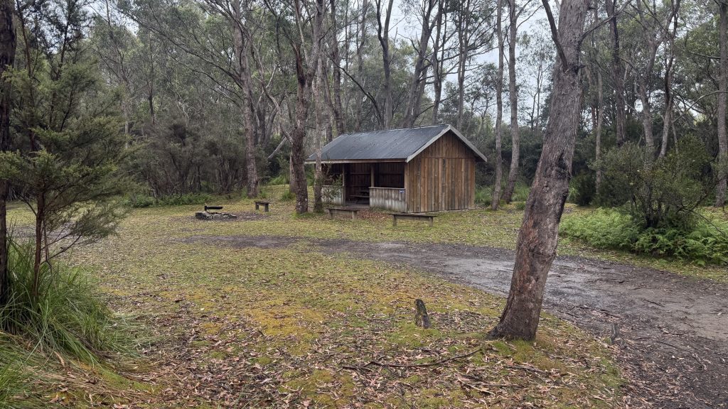
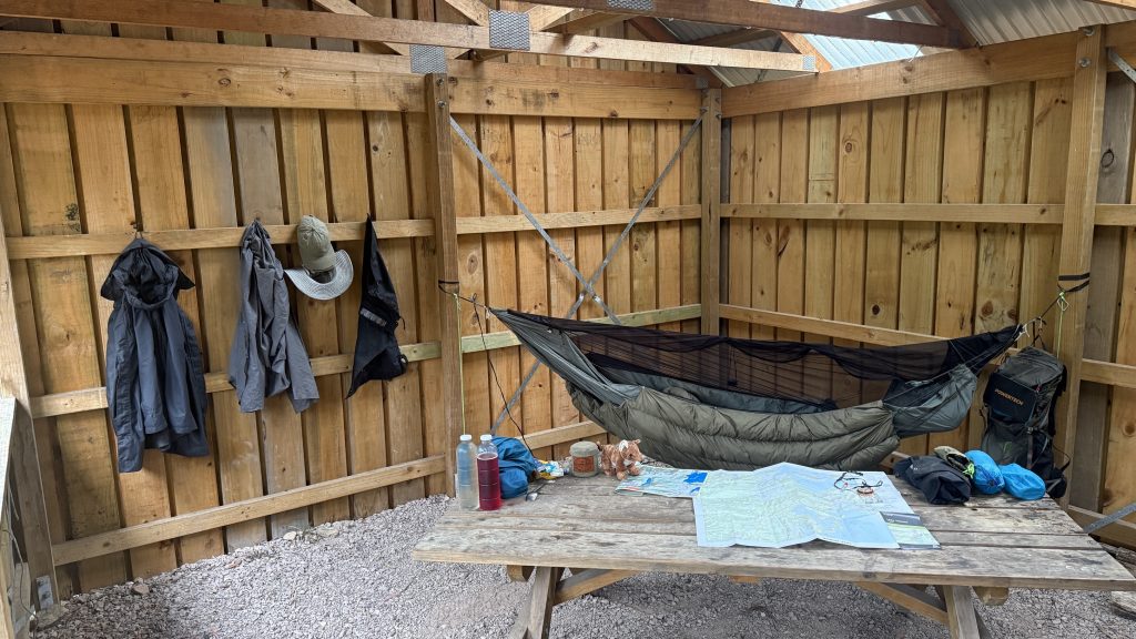
I reach Adamsfield just as the drizzle turns to a set-in rain. There’s a newish looking structure large enough for two picnic tables and walled on three sides. This will be an extremely comfortable home for tonight.
The town declined through the thirties and was basically abandoned during the war. After the war, the invention of the ball point pen hammered the last nail into the coffin of osmiridium mining. One of the rarest metals on the planet, a total of about 500kg was mined from the area. The postmaster Stan Gerny, last resident of Adamsfield, remained at his post until his death in 1962.
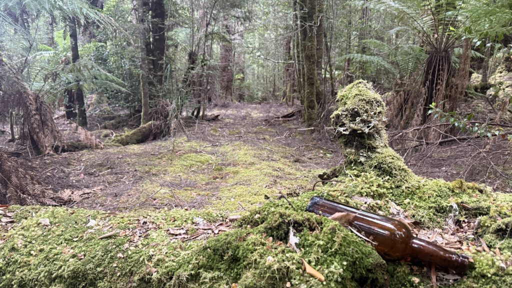
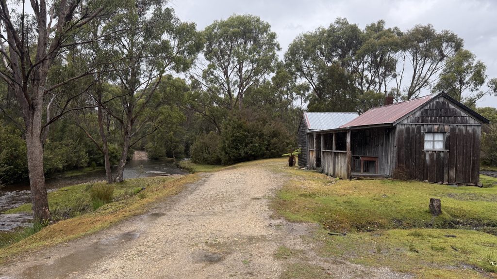
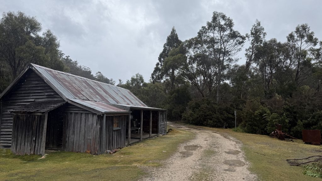
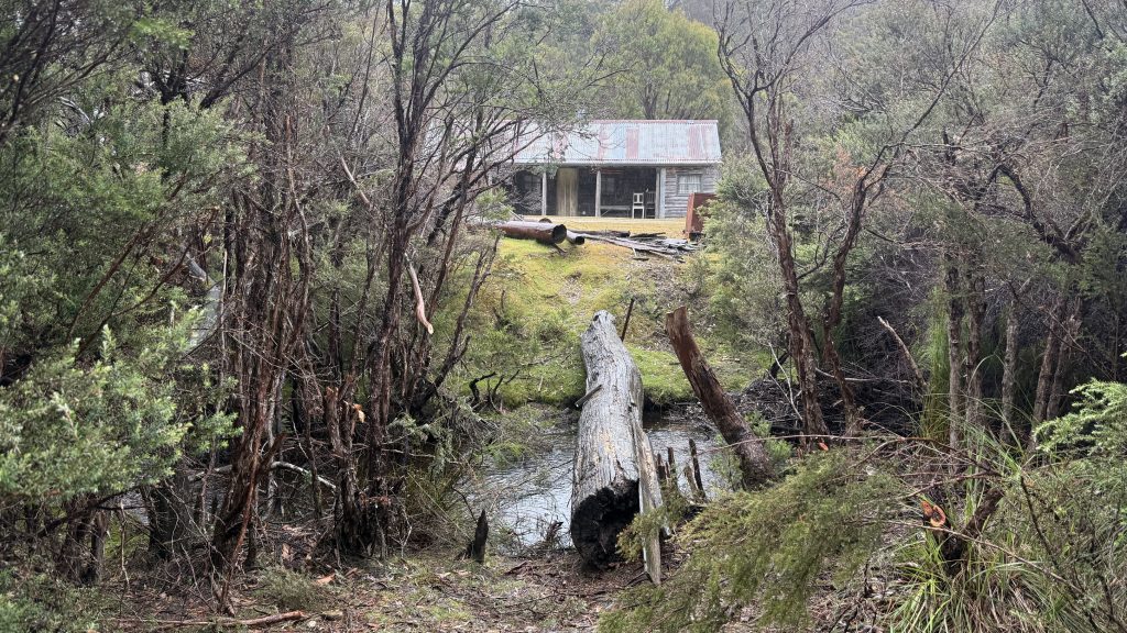
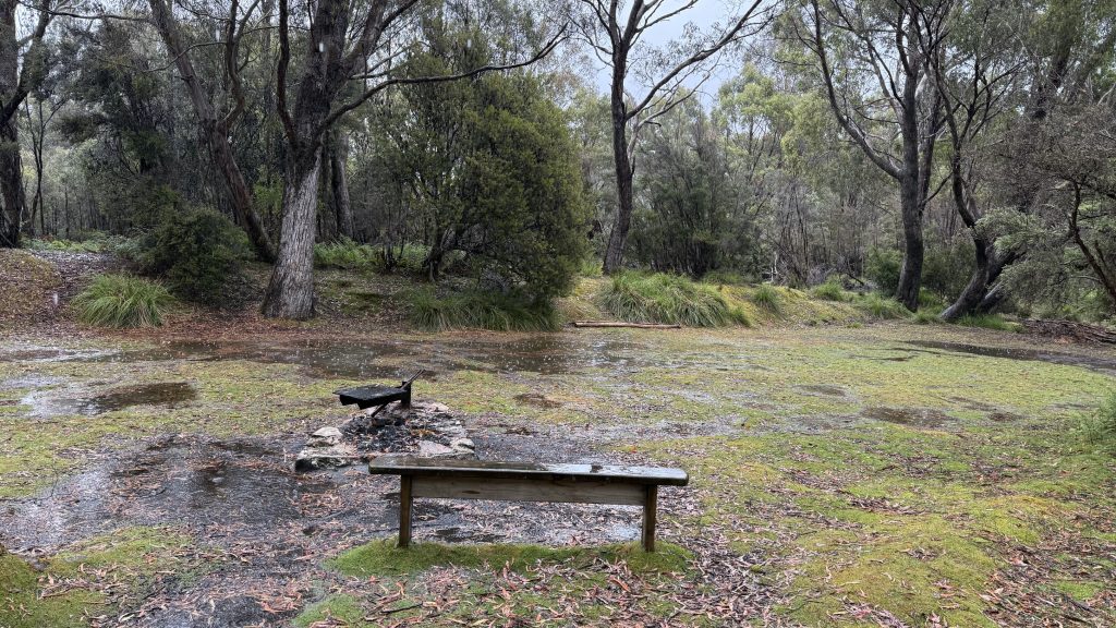
I unpack onto one of the picnic tables, then wander down the track to collect water at the Adamsfield river. There are two huts there that look to have been either restored or very well looked after, considering the entire rest of the town is nothing but bracken and beer bottles. I had neither planned to walk the Adamsfield track nor come into the old township, but now that I have, I’m glad to have walked in those old footsteps. With the track disappearing the way it is, I doubt it will be possible for much longer. I stand under the veranda and filter two litres of water, so that I can collect another two in the “dirty” reservoir before walking back. Though it’s highly unlikely anybody would come by this late on a rainy Sunday afternoon, it’s still uncomfortable being away from my pack.
I got news today that Youtuber, entertainer and hammock camping educator “Shug” has been diagnosed with an aggressive leukaemia. I’ve been hammocking for something like fifteen years now, and Shug’s videos were helping people like me even before then. Perhaps no single person is as beloved in the hammock community as Shug, and I’m sure my well-wishes would be but one drop in an ocean of love.
The rain hammers the shelter, coming down in heavy sheets while the cold wind blows. Yes, I could have ridden it out under the tarp, but this is much nicer.
Today’s hard walking has put my knees to the test; the injured one and the one that stepped in to take some of the strain off its brother. Though I managed, the occasional twinges I felt have convinced me to make a difficult decision. I’m taking the Western Arthurs and South West Cape Circuit entirely off the table. With the loss of the Arthurs, I’m even more keen to do Mount Anne than ever, though whether as an in-and-out or a circuit, I’m still not sure. I know it’s a challenging walk between Shelf Camp and Lonely Tarns, but unlike the extended traverse of the Western Arthurs, the difficult section only represents a day of walking, not several. I’m confident I can handle that, mindful that Anne has killed before, including CBC member Robert Walters only eighteen months ago. I wouldn’t even be considering it if I didn’t have a clean run of good weather forecast once tonight’s deluge clears off.

The rain continues into the evening, the cold wind flowing through the shelter and me cocooned in down and merino. Eventually the storm eases, then passes, then fades. As the sun sets and the night closes in, I finish reading Wild. A deftly woven story of the author’s literal journey catalysing her emotional one. At the story’s conclusion, she leaves her new friends behind to finish her walk the way she started it; alone.
For the first time on my walk I’ve gone the entire day without seeing another person.