
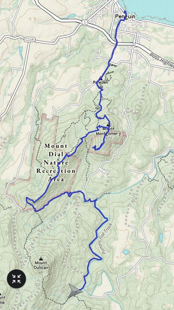
Distance: 25km
Elevation: +1200m -1200m
Time: 8:15
Music: Heather Nova – Rewild Me
I’m over the hate and I’m over the gate and I’m gone.
Like a fox in the meadow, no-one on my trail, I’m gone.
Heather Nova – Rewild Me
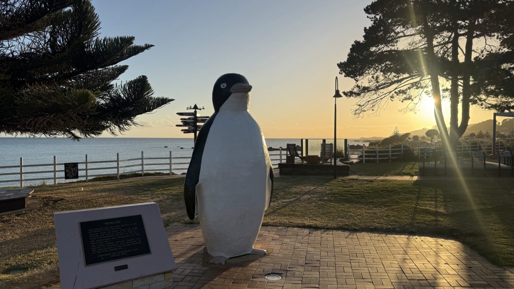
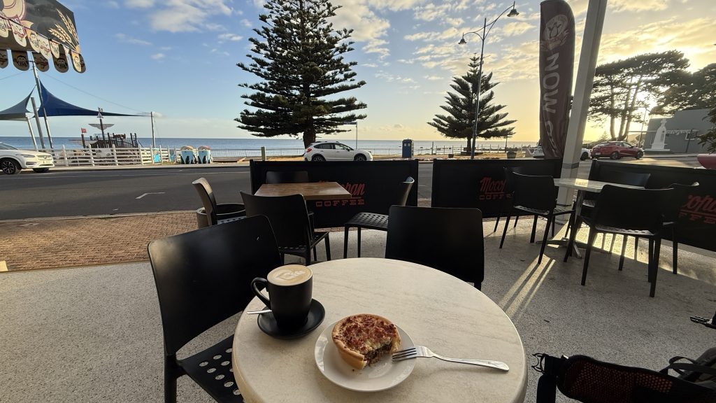
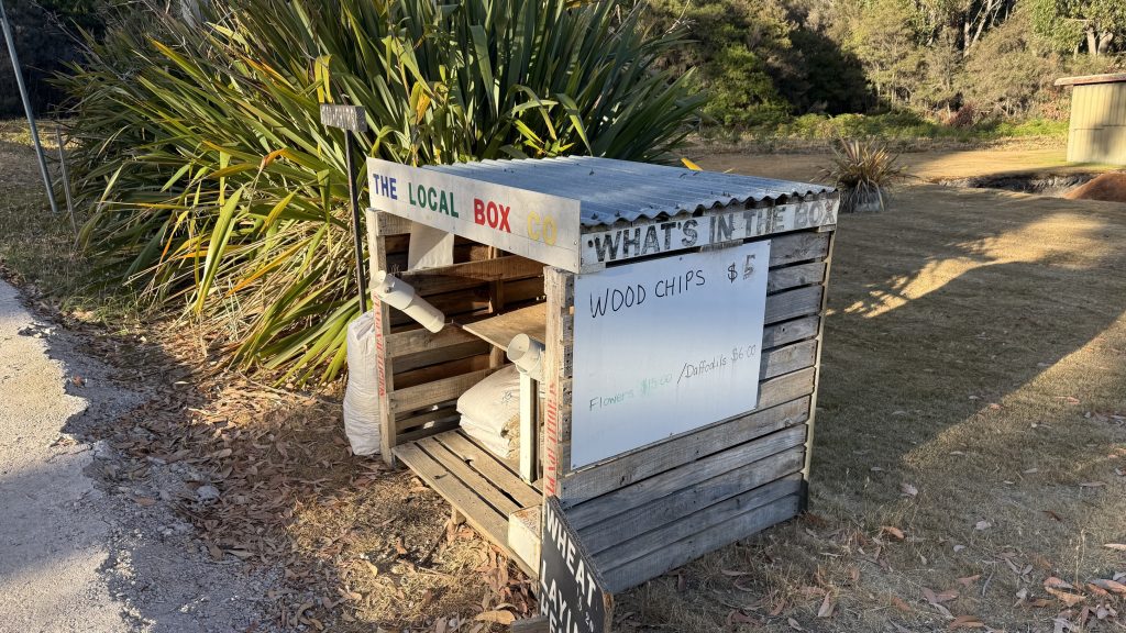
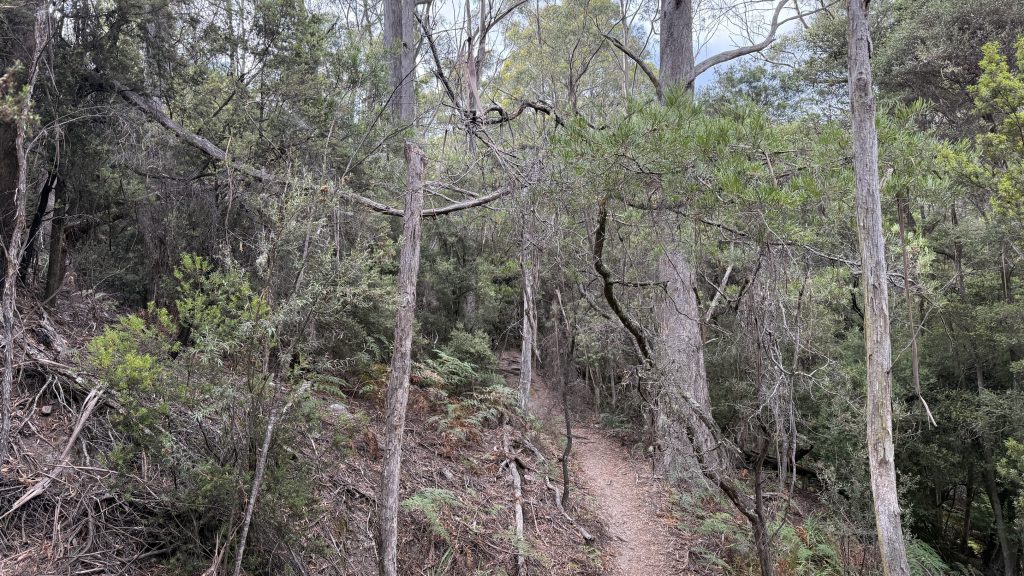
I start my walk on the beach, instead of at the PCT’s official start point near the local rubbish tip. Penguin is a charming, sleepy seaside town. At least, it is early on a Sunday morning.
Within minutes of starting, the sky darkens ands a light drizzle picks up, and then passes over, revealing blue skies once more. Will this be a theme?
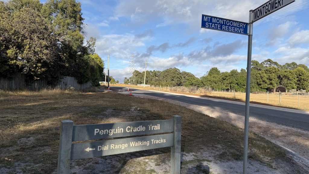
I am never going to stop chuckling at the fact that the Penguin Cradle Trail has the same abbreviation as the 4,270km long Pacific Crest Trail from Mexico to Canada
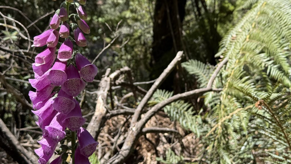
It would be easy to dismiss it as the least noteworthy section of the walk I’m embarking on, purely because it’s one of Tassie’s lesser known trails. And it would be terribly foolish and a disservice to do so. More challenging than the Overland* at Grade 5, 80km and four or five thousand vertical metres over 5-7 days, the PCT winds through a smorgasbord of environs. The Leven canyon is supposed to be a tough little cookie of a traverse, and beyond it, the Black Bluff Range begins and ends with or near two Abels: defined as Tasmanian peaks above 1100m with a prominence of at least 150m; it’s treeless and alpine and it catches the roaring 40’s across the jaw with regularity. There are bits that can flood and bits that can burn. Also leeches. And Foxglove. I’ll be jumping into Tasmania with both boots.
*The Overland Track is Grade 4 and 60km, with 2k metres of elevation if you catch the ferry out and do no side trips.
The track was built by the North West Walking Club. As far as I can tell, in 1972 the Federation of Tasmanian Bushwalking Clubs (now Bushwalking Tasmania) proposed a walk from the north coast of Tasmania through to the Port Davey area, and the NWWC said “Yep, sweet as!” and spent 1975 to 1979 and barrels of sweat building the PCT, at which point the FTBC said “Yeah, actually, nah.”
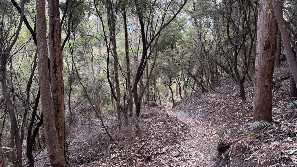
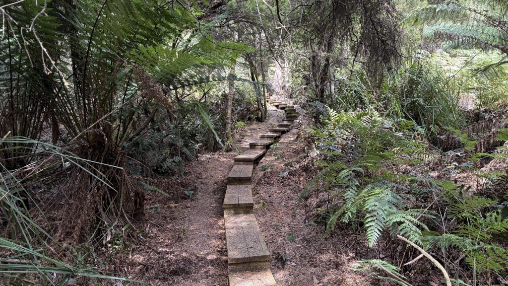
The NWCC still maintain the track along with WILDCARE (from whose shop the maps and guidebook are available) and Friends of the PCT (through volunteer work and contractors) and seem to consider it their baby, but the effort involved and the terrain make it a never-ending task; a massive effort in 2024 had the trail in sparkling condition, only for a series of storms to rip through and drop trees everywhere and wash out tracks. Like a wandering river, the official track changes a little year by year as it renegotiates obstacles. Walkers can expect to have to negotiate fallen trees and encroaching scrub, and for the track to be faint and difficult to follow in places.
I see my first tiger snake of the walk near the top of Mount Montgomery. It’s too quick to photograph.
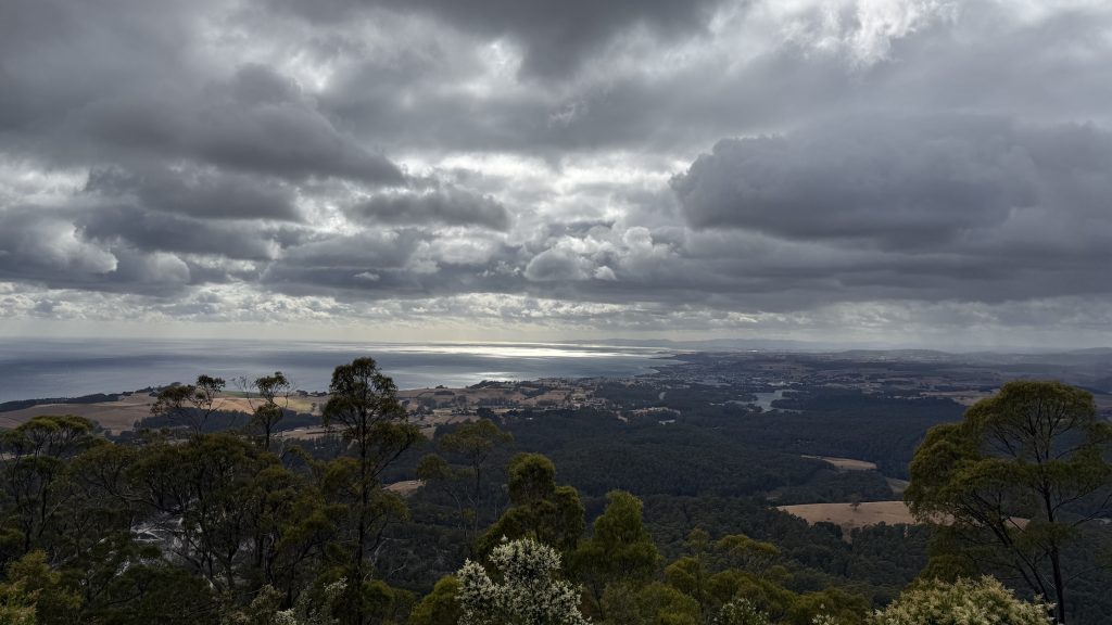
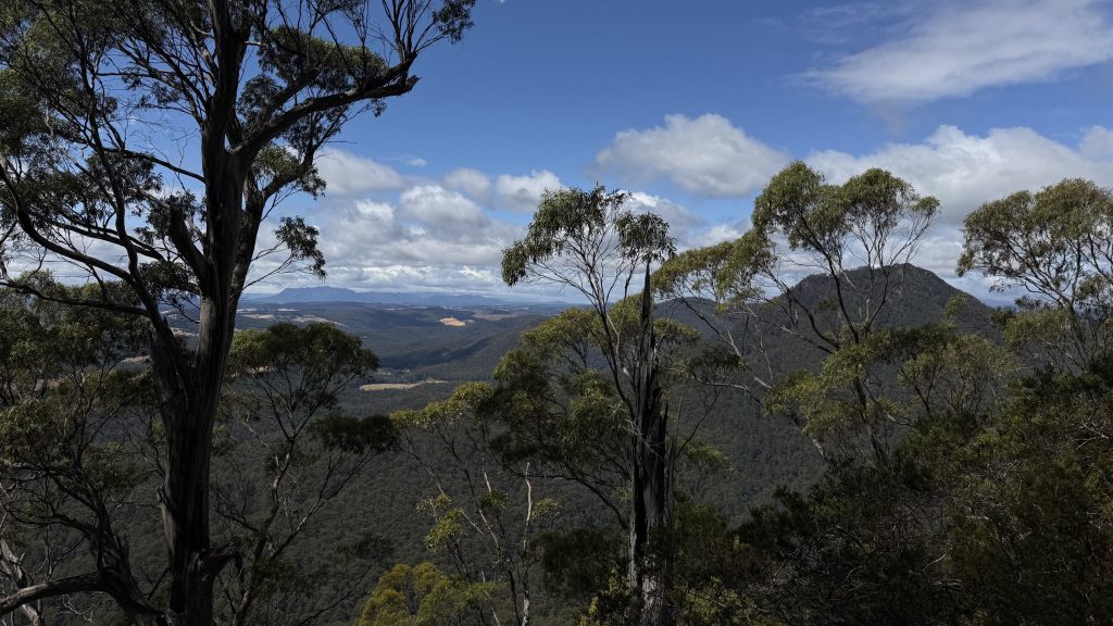
It’s a little known fact that a “gomery” is a type of Scottish hill. So Mount Montgomery could be translated at “Mount Mount-mount”. It’s got a fantastic view of Bass Strait though. From before the time Antarctica decided to go do its own thing until the end of the last ice age just 12,000 years ago, all that was between and Wilson’s Prom was a grassy valley with a few mountains thrown in. Then the glaciers melted and filled her in. The shallowness is part of why it can be so rough. And the separation it’s part of why Tassie has some cool beasties the mainland doesn’t.
I take a wrong turn on top of Mount Montgomery. Parks have done fine recent track work and it’s not well sign posted. I thought I was following my memory of the update I saw online, but I’d dropped down 300m before I realised my error. I try not to kick and curse myself too much on the climb back up. Solo hiking is as much a mind game as anything. I try to treat it as a good reminder to pay attention to what I’m doing and not wander down trails with my mind a thousand miles away.
I’m sure some of the trees I walk through today are sassafras.
Pro hiking tip: put some unsweetened dehydrated mango in a bag with some apricot delights, leave for two weeks, then eat on a mountaintop. Thank me later.
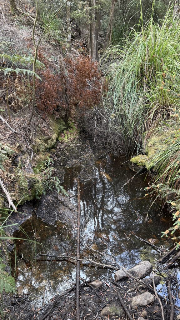
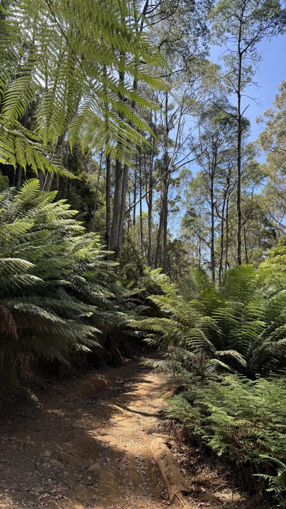
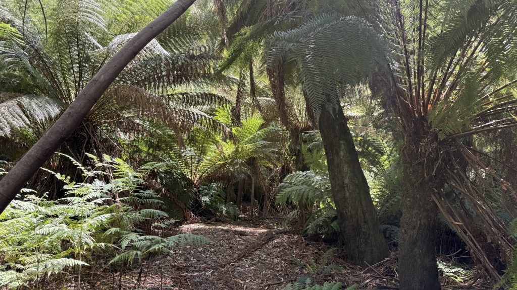
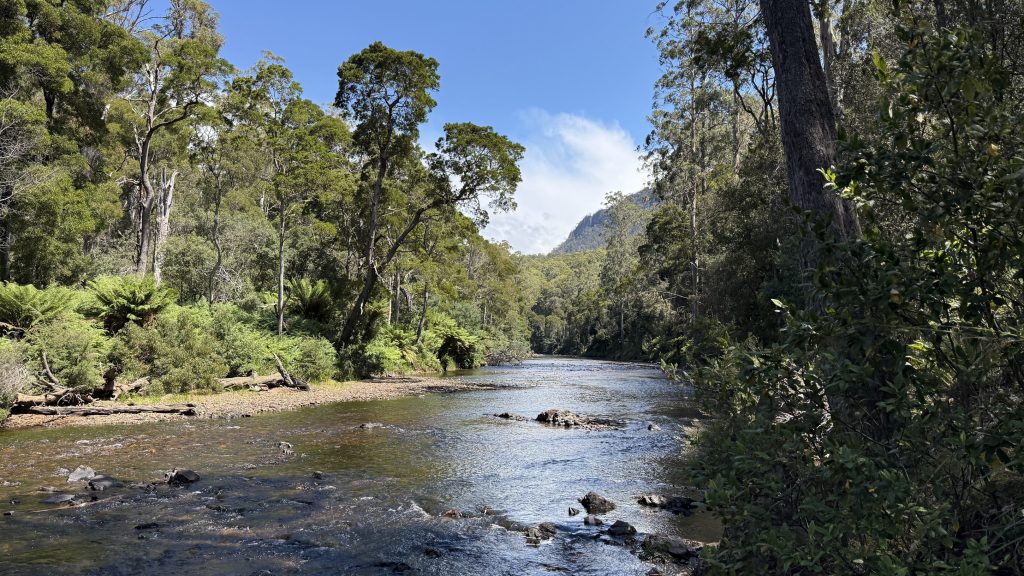
Coming down from the Dial range, the Leven river is met flowing broad and slow. Tall straight eucalypts shade giant tree ferns, and the walking is pleasant and cool. The wind has been huffing and puffing in sudden gusts on and off, and I’m hoping I’ll find a sheltered site for the night.
Somewhere along the Leven I run into Phil, the big, bearded and friendly. He left his home in Penguin this morning and is headed for Wings Wildlife park: another 7km and 500 vertical or so. He’s got a cushy cabin booked for the night, but it’s his birthday tomorrow, so that’s okay. I’m astonished at his stamina until I realise he sidled Mount Montgomery and skipped Dial and Gnomon all together. Then it makes more sense.
We reach Hardstaff creek campsite, and it’s fairly sheltered by the tall gum trees all about. It looks like a good place for the night. Phil wanders off and I set about my chores. I send my check-in satellite message, and give Shelle a few minutes of panic and dismay because of the three pre-set messages I chose “I’m ending my trip”. In my mind I meant for the day, but I can see how it must have looked. Anyway, mum had paid to bump me up to the unlimited messages level on the Garmin for the duration of the walk, so there’s really no need for me to stick with the generic check-ins.

I’m in bed and cooking dinner from the hammock by 4:30pm. I’m not ready for sleep, but the wind has a chill edge to it. I burn my tongue in my eagerness for the hot delicious sludge. That usually happens on the first night of a walk, before the patience sets in. I’m glad I brought my e-reader with me, despite the weight. I justify it by having put a number of guide books on there.
Day one is always hard. Will I go crazy from the solitude? Will I be able to complete what I’ve set out to do? Well, I’ve got through one day alright. Just 39 more to go. If I don’t get to do all the side trips that I wanted to, that’s not the end of the world, and it would be wise to balance them against my capacity and not push myself too hard.
One way or another, it’ll be an adventure!